Maps
Oceania Globe Map
648 x 648
- 90,517k -
JPG
Federal Lands In Southern Nevada
1962 x 1138
- 464,413k -
JPG
Saint Martin Island Map
1523 x 1300
- 105,755k -
PNG
Sint Maarten
970 x 848
- 290,130k -
JPG
St Martin
2119 x 1390
- 655,566k -
JPG
General Map Of Slovenia
2000 x 1406
- 744,268k -
JPG
Physical World Map 2012
4000 x 2165
- 2,139,669k -
JPG
Political World Map 2012
3999 x 2169
- 1,496,539k -
JPG
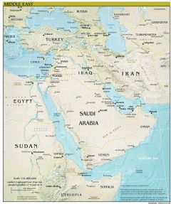
Middle East Map 2012
2148 x 2567
- 1,356,649k -
JPG
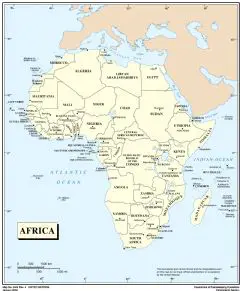
Africa Countries Map 2012
2000 x 2429
- 196,347k -
PNG
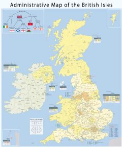
Administrative Geography Of The British Isles With Postcode Areas
2500 x 3004
- 1,137,019k -
JPG

Chile Cities Map
1800 x 2359
- 1,220,477k -
JPG

Germany Flag Map
1800 x 2436
- 133,486k -
PNG
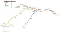
Caracas Metro Map
1222 x 647
- 70,371k -
JPG
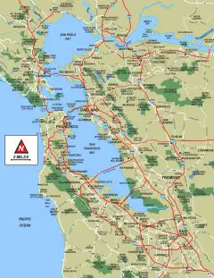
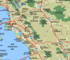
San Francisco Bay Area Map
2000 x 2589
- 447,406k -
PNG
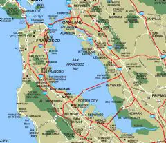
San Francisco Bay
1420 x 1227
- 185,570k -
PNG
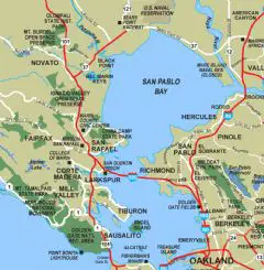
San Pablo Bay
1036 x 1056
- 116,920k -
PNG
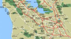
South Bay Palo Alto
1696 x 938
- 153,642k -
PNG
East Bay Oakland
1100 x 945
- 115,570k -
PNG
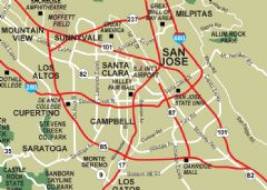
San Jose
852 x 608
- 64,205k -
PNG
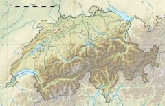
Physical Map Of Switzerland
1024 x 657
- 268,336k -
JPG
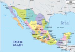
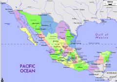
Map Of Mexico States
1400 x 979
- 484,644k -
PNG
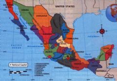
Map Of Mexico States And Capitals
1200 x 839
- 546,071k -
PNG
Mexico States
1052 x 728
- 213,927k -
JPG

South Africa Flag Map
2000 x 1635
- 113,617k -
PNG

Zimbabwe Flag Map
508 x 450
- 15,362k -
PNG
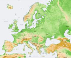
Europe Topography Map
1200 x 976
- 454,751k -
JPG
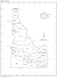
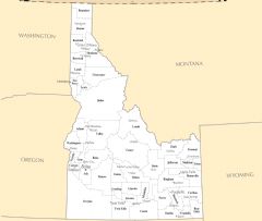
Idaho Counties Map
1500 x 1996
- 359,488k -
PNG
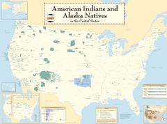
American Indians In The United States
4013 x 2972
- 644,088k -
PNG
.jpg)
Palau (political)
979 x 1219
- 108,652k -
JPG
_Babeldaob_Island.jpg)
Palau Aimeliik (imeliik) Babeldaob Island
1200 x 1834
- 776,713k -
JPG
Palau Beliliou
1270 x 2080
- 736,614k -
JPG
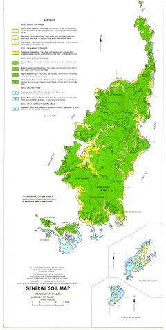
Palau General Soil Map
1571 x 3116
- 560,917k -
JPG
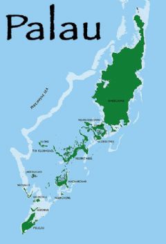
Palau Islands
640 x 714
- 111,076k -
JPG
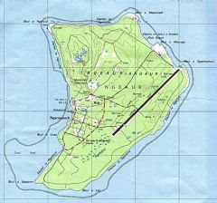
Palau Ngeaur Island
1174 x 1098
- 369,969k -
JPG
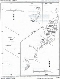
Palau States Municipalities And Places
1154 x 1518
- 375,959k -
JPG
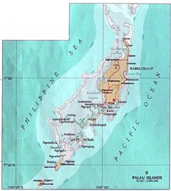
Palau Islands Map
547 x 800
- 82,459k -
JPG
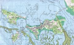
Palau Koror Oreor Island
1800 x 1092
- 723,146k -
JPG
Palau Mecherchar Island Eil Malk Island
1600 x 1987
- 654,274k -
JPG
-Babeldaob-Island.jpg)
Palau Ngarchelong (ngerchelong) Babeldaob Island
1200 x 1978
- 726,113k -
JPG
-Babeldaob-Island.jpg)
Palau Ngeremlengui (ngermetengel) Babeldaob Island
1200 x 1852
- 784,693k -
JPG
Palau Palau Airport Babeldaob Island
2000 x 1213
- 893,812k -
JPG
Palau Location On Earth
600 x 600
- 40,505k -
PNG
World Physical Map 2012
4000 x 2166
- 1,268,844k -
JPG

World Political Map 2012
5000 x 2713
- 668,145k -
PNG
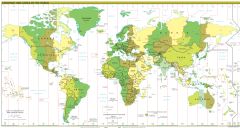
Time Zones 2012
3600 x 1922
- 453,295k -
PNG
South Sudan
1000 x 750
- 319,145k -
JPG
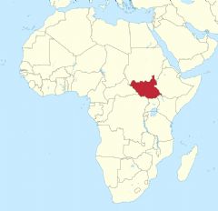
South Sudan In Africa
1059 x 1024
- 48,053k -
PNG
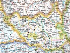
South Sudan Map Detailed
2500 x 1772
- 1,154,156k -
JPG
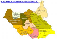
South Sudan Map States
1066 x 741
- 45,427k -
PNG
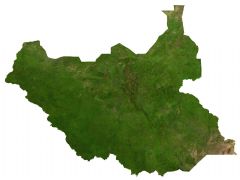
South Sudan Satalite Image
1400 x 1051
- 231,451k -
JPG
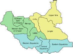
South Sudan States
1000 x 746
- 24,863k -
PNG
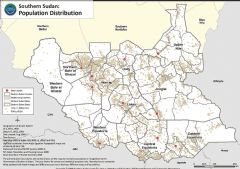
Southern Sudan Population Distribution
950 x 670
- 157,862k -
PNG
South Sudan Map
1100 x 847
- 199,540k -
PNG
South Sudan Neighbours
1202 x 1503
- 75,285k -
PNG
Location South Sudan
2000 x 1857
- 119,327k -
PNG
Us Rivers Lakes
3208 x 2458
- 415,267k -
PNG
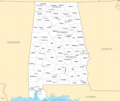
Alabama Cities And Towns
2448 x 2061
- 150,627k -
PNG
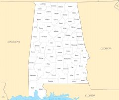
Alabama County Map
2457 x 2070
- 119,215k -
PNG
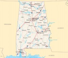
Alabama Reference Map
2443 x 2071
- 674,801k -
PNG
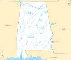
Alabama Rivers And Lakes
2454 x 2079
- 148,285k -
PNG
Alaska Counties And Cities
2457 x 2064
- 185,142k -
PNG

Alaska County Map
2463 x 2070
- 165,915k -
PNG
Alaska Reference Map
2463 x 2073
- 375,444k -
PNG
Alaska Rivers And Lakes
2454 x 2064
- 187,426k -
PNG
Arizona Cities And Towns
2454 x 2061
- 107,796k -
PNG
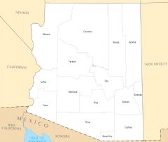
Arizona County Map
2463 x 2073
- 76,919k -
PNG
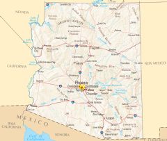
Arizona Reference Map
2460 x 2076
- 1,105,213k -
PNG
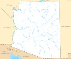
Arizona Rivers And Lakes
2460 x 2070
- 156,675k -
PNG
Arkansas Cities And Towns
2456 x 2067
- 169,466k -
PNG
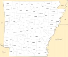
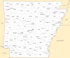
Arkansas County Map
2457 x 2064
- 132,587k -
PNG
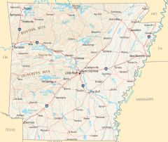
Arkansas Reference Map
2454 x 2070
- 1,383,803k -
PNG
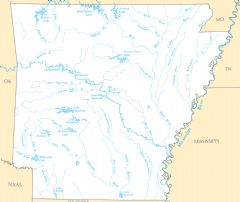
Arkansas Rivers And Lakes
2457 x 2067
- 207,886k -
PNG
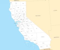
California Cities And Towns
2457 x 2076
- 118,543k -
PNG
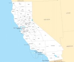
California County Map
2460 x 2070
- 99,006k -
PNG
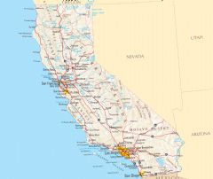
California Reference Map
2457 x 2064
- 655,099k -
PNG
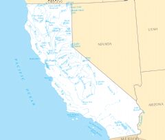
California Rivers And Lakes
2442 x 2070
- 152,792k -
PNG
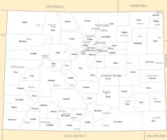
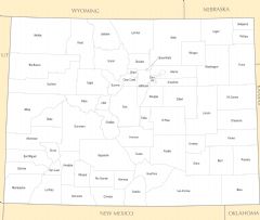
Colorado Cities And Towns
2454 x 2061
- 146,494k -
PNG
Colorado County Map
2448 x 2067
- 104,044k -
PNG
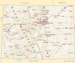
Colorado Reference Map
2460 x 2070
- 1,593,557k -
PNG
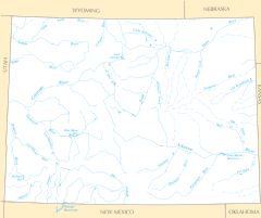
Colorado Rivers And Lakes
2460 x 2058
- 156,301k -
PNG
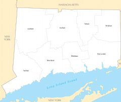
Connecticut Cities And Towns
2460 x 2061
- 105,392k -
PNG
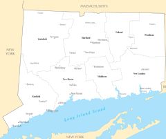
Connecticut County Map
2448 x 2073
- 82,402k -
PNG
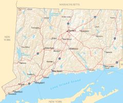
Connecticut Reference Map
2451 x 2058
- 808,065k -
PNG
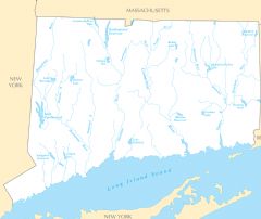
Connecticut Rivers And Lakes
2451 x 2061
- 157,588k -
PNG
Delaware Cities And Towns
2451 x 2070
- 126,151k -
PNG
Delaware County Map
2445 x 2064
- 120,281k -
PNG
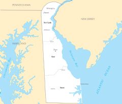
Delaware Reference Map
2454 x 2061
- 354,110k -
PNG
Delaware Rivers And Lakes
2460 x 2073
- 157,276k -
PNG
Florida Cities And Towns
2460 x 2067
- 187,492k -
PNG
Florida County Map
2454 x 2067
- 133,946k -
PNG
Florida Reference Map
2457 x 2073
- 408,481k -
PNG
Florida Rivers And Lakes
2460 x 2073
- 161,085k -
PNG
General Reference Map North America
2457 x 2073
- 255,097k -
PNG
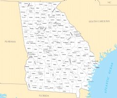
Georgia Cities And Towns
2448 x 2061
- 231,121k -
PNG
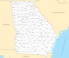
Georgia County Map
2457 x 2070
- 197,832k -
PNG
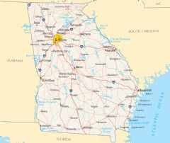
Georgia Reference Map
2460 x 2070
- 826,650k -
PNG
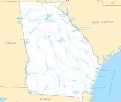
Georgia Rivers And Lakes
2451 x 2061
- 177,002k -
PNG

Guam Reference Map
2466 x 2070
- 197,252k -
PNG
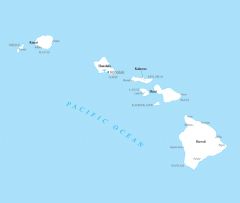
Hawaii Cities And Towns
2451 x 2073
- 47,318k -
PNG
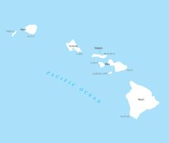
Hawaii County Map
2451 x 2070
- 40,141k -
PNG
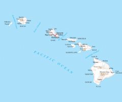
Hawaii Reference Map
2463 x 2067
- 93,728k -
PNG
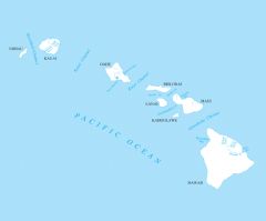
Hawaii Rivers And Lakes
2427 x 2013
- 63,985k -
PNG
Idaho Cities And Towns
2451 x 2070
- 112,552k -
PNG
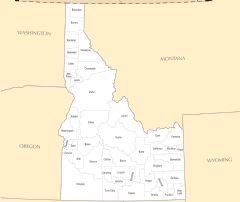
Idaho County Map
2460 x 2073
- 88,923k -
PNG
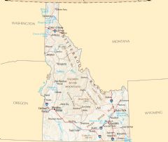
Idaho Reference Map
2454 x 2073
- 578,336k -
PNG
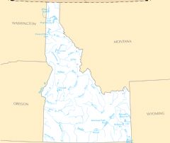
Idaho Rivers And Lakes
2454 x 2067
- 125,485k -
PNG
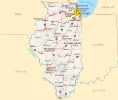
Illinois Cities And Towns
2448 x 2067
- 163,934k -
PNG
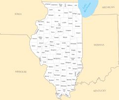
Illinois County Map
2451 x 2067
- 120,175k -
PNG
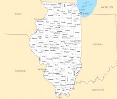
Illinois Reference Map
2454 x 2073
- 650,255k -
PNG
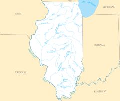
Illinois Rivers And Lakes
2451 x 2076
- 133,012k -
PNG
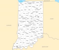
Indiana Cities And Towns
2445 x 2064
- 150,466k -
PNG
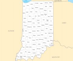
Indiana County Map
2448 x 2055
- 105,888k -
PNG
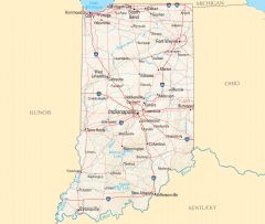
Indiana Reference Map
2457 x 2079
- 795,134k -
PNG
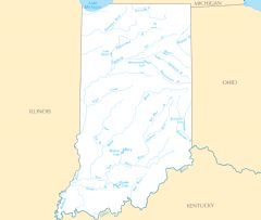
Indiana Rivers And Lakes
2445 x 2064
- 116,006k -
PNG
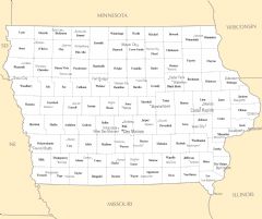
Iowa Cities And Towns
2451 x 2055
- 173,303k -
PNG
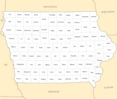
Iowa County Map
2454 x 2064
- 113,821k -
PNG
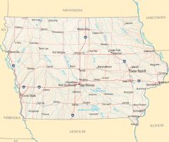
Iowa Reference Map
2457 x 2073
- 1,101,831k -
PNG
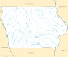
Iowa Rivers And Lakes
2448 x 2058
- 173,623k -
PNG
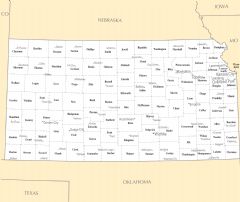
Kansas Cities And Towns
2458 x 2073
- 154,817k -
PNG
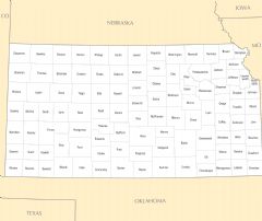
Kansas County Map
2443 x 2061
- 106,354k -
PNG
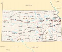
Kansas Reference Map
2461 x 2061
- 1,198,979k -
PNG
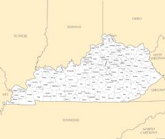
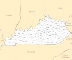
Kentucky Cities And Towns
2454 x 2061
- 175,358k -
PNG
Kentucky County Map
2442 x 2058
- 164,079k -
PNG
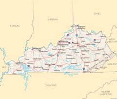
Kentucky Reference Map
2454 x 2076
- 590,428k -
PNG

Kentucky Rivers And Lakes
2451 x 2067
- 148,923k -
PNG
Louisiana Cities And Towns
2454 x 2070
- 196,042k -
PNG
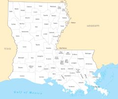
Louisiana County Map
2445 x 2070
- 162,683k -
PNG
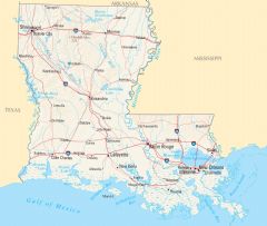
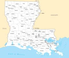
Louisiana Reference Map
2448 x 2073
- 853,539k -
PNG
.png)
Louisiana Population Map (1)
600 x 600
- 174,852k -
PNG
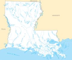
Louisiana Rivers And Lakes
2454 x 2076
- 236,536k -
PNG
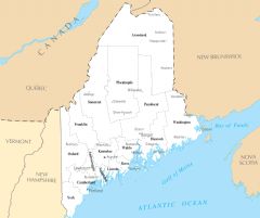
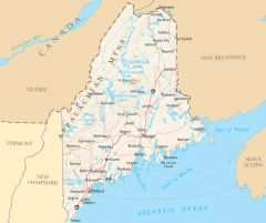
Maine Cities And Towns
2445 x 2043
- 147,000k -
PNG
Maine County Map
2445 x 2061
- 126,023k -
PNG
.png)
Maine Population Map (1)
600 x 600
- 119,318k -
PNG
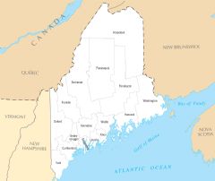
Maine Reference Map
2457 x 2061
- 613,629k -
PNG
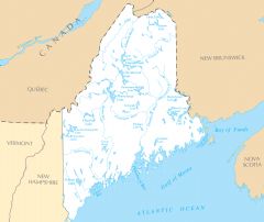
Maine Rivers And Lakes
2457 x 2064
- 180,748k -
PNG
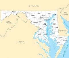
Maryland Cities And Towns
2451 x 2061
- 178,681k -
PNG
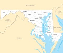
Maryland County Map
2454 x 2076
- 166,652k -
PNG

Maryland Reference Map
2454 x 2064
- 449,806k -
PNG
Maryland Rivers And Lakes
2445 x 2058
- 202,391k -
PNG
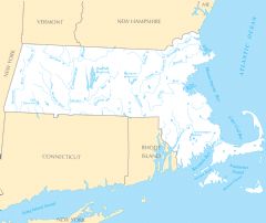
Massachusetts Cities And Towns
2448 x 2055
- 144,252k -
PNG
Massachusetts County Map
2436 x 2058
- 120,941k -
PNG
Massachusetts Reference Map
2457 x 2064
- 641,219k -
PNG
Massachusetts Rivers And Lakes
2454 x 2070
- 163,835k -
PNG

Michigan Cities And Towns
2448 x 2070
- 200,482k -
PNG
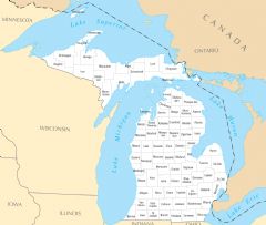
Michigan County Map
2454 x 2073
- 174,058k -
PNG
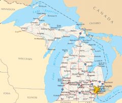
Michigan Reference Map
2454 x 2079
- 511,290k -
PNG
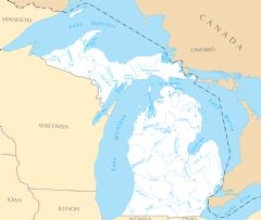
Michigan Rivers And Lakes
2451 x 2073
- 169,569k -
PNG
Minnesota Cities And Towns
2448 x 2070
- 168,809k -
PNG
Minnesota County Map
2454 x 2070
- 133,605k -
PNG
Minnesota Reference Map
2445 x 2070
- 837,666k -
PNG
Minnesota Rivers And Lakes
2451 x 2064
- 206,110k -
PNG

Mississippi Cities And Towns
2457 x 2076
- 152,073k -
PNG
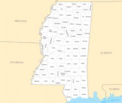
Mississippi County Map
2457 x 2070
- 117,716k -
PNG
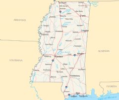
Mississippi Reference Map
2445 x 2064
- 702,696k -
PNG
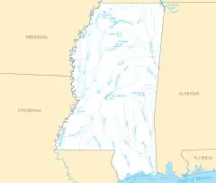
Mississippi Rivers And Lakes
2445 x 2073
- 147,623k -
PNG
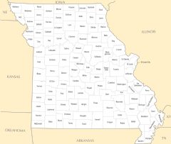
Missouri Cities And Towns
2445 x 2067
- 190,586k -
PNG
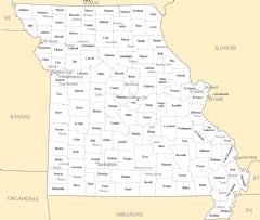
Missouri County Map
2445 x 2070
- 145,828k -
PNG
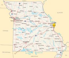
Missouri Reference Map
2451 x 2076
- 905,249k -
PNG
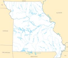
Missouri Rivers And Lakes
2445 x 2070
- 190,883k -
PNG
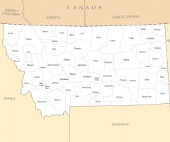
Montana Cities And Towns
2457 x 2058
- 145,805k -
PNG
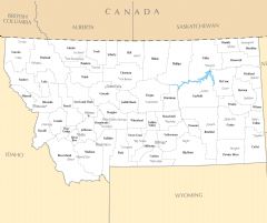
Montana County Map
2457 x 2061
- 114,142k -
PNG
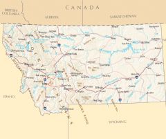
Montana Reference Map
2454 x 2058
- 887,715k -
PNG
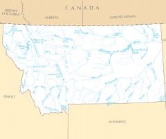
Montana Rivers And Lakes
2457 x 2067
- 166,846k -
PNG
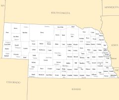
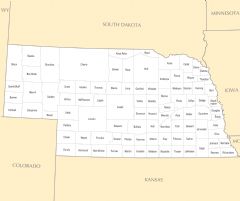
Nebraska Cities And Towns
2460 x 2070
- 137,115k -
PNG
Nebraska County Map
2451 x 2049
- 103,109k -
PNG

Nebraska Reference Map
2454 x 2061
- 889,111k -
PNG
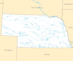
Nebraska Rivers And Lakes
2454 x 2061
- 124,124k -
PNG
Nevada Cities And Towns
2448 x 2068
- 83,448k -
PNG
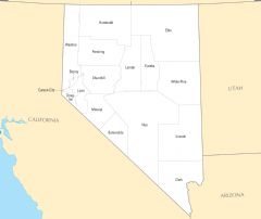
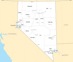
Nevada County Map
2451 x 2068
- 60,548k -
PNG
Nevada Reference Map
2454 x 2065
- 610,952k -
PNG
Nevada Rivers And Lakes
2445 x 2071
- 101,145k -
PNG
New Hampshire Cities And Towns
2454 x 2073
- 100,637k -
PNG
New Hampshire County Map
2442 x 2079
- 86,659k -
PNG
New Hampshire Reference Map
2454 x 2073
- 517,659k -
PNG
New Hampshire Rivers And Lakes
2445 x 2070
- 149,917k -
PNG
New Jersey Cities And Towns
2454 x 2073
- 140,635k -
PNG
New Jersey County Map
2451 x 2067
- 127,983k -
PNG
New Jersey Reference Map
2460 x 2064
- 456,419k -
PNG
New Jersey Rivers And Lakes
2448 x 2079
- 179,900k -
PNG
New Mexico Cities And Towns
2457 x 2070
- 112,141k -
PNG
New Mexico County Map
2457 x 2070
- 78,581k -
PNG
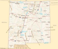
New Mexico Reference Map
2451 x 2076
- 1,207,635k -
PNG
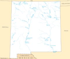
New Mexico Rivers And Lakes
2445 x 2073
- 120,091k -
PNG
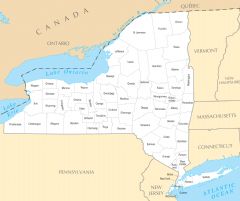
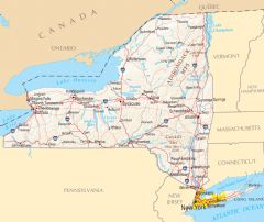
New York Cities And Towns
2460 x 2067
- 188,809k -
PNG
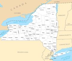
New York County Map
2463 x 2067
- 162,245k -
PNG
New York Reference Map
2451 x 2067
- 758,281k -
PNG
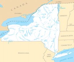
New York Rivers And Lakes
2457 x 2070
- 188,261k -
PNG
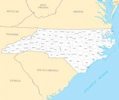
North Carolina Cities And Towns
2448 x 2070
- 190,618k -
PNG
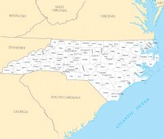
North Carolina County Map
2457 x 2061
- 179,421k -
PNG
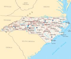
North Carolina Reference Map
2466 x 2064
- 533,951k -
PNG
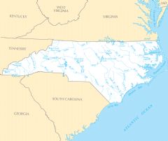
North Carolina Rivers And Lakes
2457 x 2067
- 180,142k -
PNG
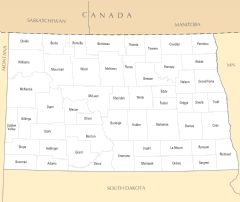
North Dakota Cities And Towns
2448 x 2064
- 127,954k -
PNG
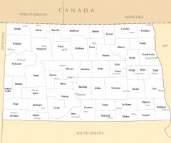
North Dakota County Map
2460 x 2070
- 98,562k -
PNG
North Dakota Reference Map
2454 x 2076
- 1,153,473k -
PNG
North Dakota Rivers And Lakes
2451 x 2067
- 148,747k -
PNG
Ohio Cities And Towns
2463 x 2073
- 178,498k -
PNG
Ohio County Map
2457 x 2076
- 129,893k -
PNG
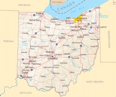
Ohio Reference Map
2457 x 2073
- 1,072,983k -
PNG
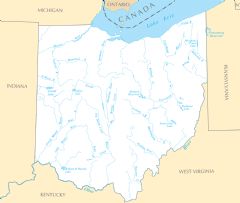
Ohio Rivers And Lakes
2445 x 2067
- 152,884k -
PNG
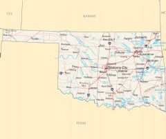
Oklahoma Cities And Towns
2455 x 2070
- 133,981k -
PNG
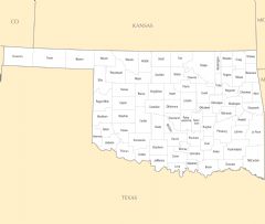
Oklahoma County Map
2452 x 2073
- 97,096k -
PNG
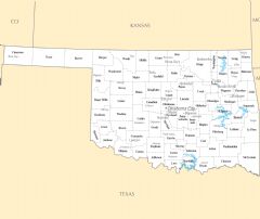
Oklahoma Reference Map
2461 x 2070
- 752,431k -
PNG
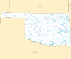
Oklahoma Rivers And Lakes
2461 x 2064
- 148,552k -
PNG
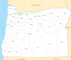
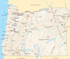
Oregon Cities And Towns
2448 x 2076
- 123,578k -
PNG
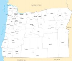
Oregon County Map
2448 x 2067
- 94,616k -
PNG
Oregon Reference Map
2454 x 2067
- 1,310,614k -
PNG
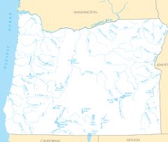
Oregon Rivers And Lakes
2457 x 2064
- 185,295k -
PNG
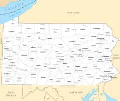
Pennsylvania Cities And Towns
2460 x 2073
- 182,861k -
PNG
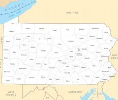
Pennsylvania County Map
2457 x 2064
- 144,530k -
PNG
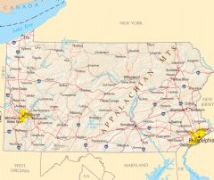
Pennsylvania Reference Map
2463 x 2070
- 1,121,366k -
PNG
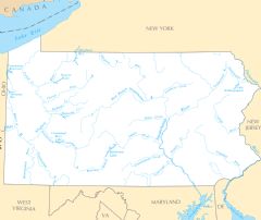
Pennsylvania Rivers And Lakes
2460 x 2073
- 165,227k -
PNG
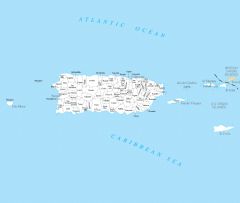
Puerto Rico Cities And Towns
2466 x 2070
- 98,840k -
PNG
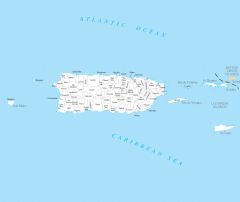
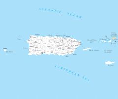
Puerto Rico County Map
2463 x 2070
- 94,207k -
PNG

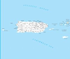
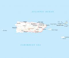
Puerto Rico Reference Map
2457 x 2055
- 84,549k -
PNG
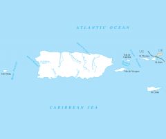
Puerto Rico Rivers And Lakes
2445 x 2058
- 58,458k -
PNG
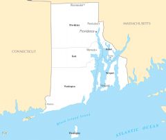
Rhode Island Cities And Towns
2454 x 2067
- 87,512k -
PNG
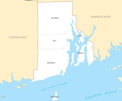
Rhode Island County Map
2460 x 2043
- 76,784k -
PNG
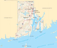
Rhode Island Reference Map
2448 x 2067
- 368,465k -
PNG
Rhode Island Rivers And Lakes
2460 x 2067
- 119,358k -
PNG
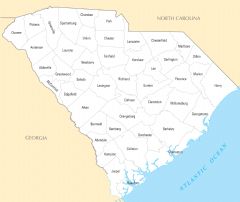
South Carolina Cities And Towns
2457 x 2070
- 162,900k -
PNG
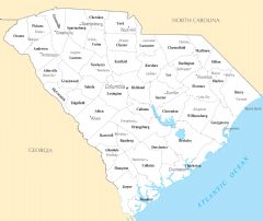
South Carolina County Map
2448 x 2058
- 135,613k -
PNG
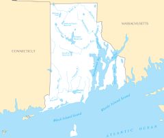
South Carolina Reference Map
2460 x 2064
- 808,441k -
PNG
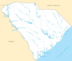
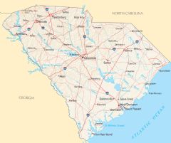
South Carolina Rivers And Lakes
2457 x 2064
- 142,649k -
PNG
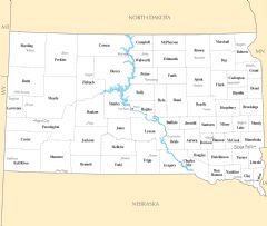
South Dakota Cities And Towns
2454 x 2073
- 144,011k -
PNG
South Dakota County Map
2454 x 2061
- 102,168k -
PNG
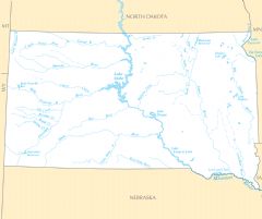
South Dakota Rivers And Lakes
2463 x 2067
- 144,480k -
PNG
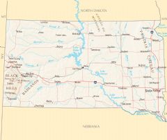
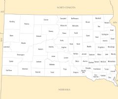
South Dakota Reference Map
2457 x 2064
- 1,125,382k -
PNG
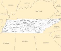
Tennessee Cities And Towns
2454 x 2067
- 170,664k -
PNG
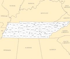
Tennessee County Map
2451 x 2061
- 155,187k -
PNG

Tennessee Reference Map
2463 x 2073
- 505,400k -
PNG
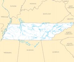
Tennessee Rivers And Lakes
2457 x 2067
- 167,138k -
PNG
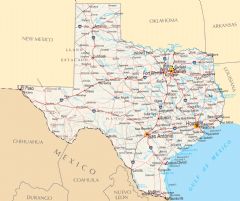
Texas Cities And Towns
2460 x 2076
- 240,490k -
PNG
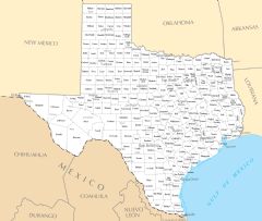
Texas County Map
2451 x 2070
- 202,313k -
PNG
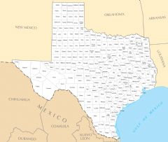
Texas Reference Map
2457 x 2055
- 909,235k -
PNG
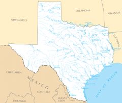
Texas Rivers And Lakes
2454 x 2067
- 206,631k -
PNG
Usa General Reference Map
3060 x 2076
- 1,080,676k -
PNG
Utah Cities And Towns
2448 x 2073
- 105,904k -
PNG
Utah County Map
2451 x 2070
- 78,063k -
PNG
Utah Rivers And Lakes
2463 x 2076
- 135,317k -
PNG

Utah Reference Map
2451 x 2070
- 1,117,473k -
PNG
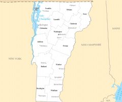
Vermont Cities And Towns
2448 x 2058
- 103,795k -
PNG
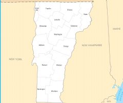
Vermont County Map
2463 x 2064
- 77,900k -
PNG
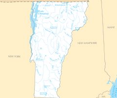
Vermont Rivers And Lakes
2454 x 2058
- 156,186k -
PNG
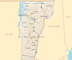
Vermont Reference Map
2460 x 2073
- 577,685k -
PNG
Virgin Islands Cities And Towns
2457 x 2076
- 98,550k -
PNG
Virgin Islands County Map
2466 x 2064
- 94,243k -
PNG
Virgin Islands Reference Map
2457 x 2064
- 84,557k -
PNG
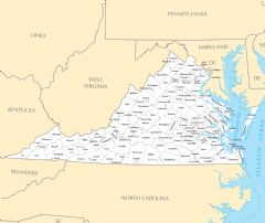
Virginia Cities And Towns
2454 x 2064
- 226,412k -
PNG
Virginia County Map
2448 x 2070
- 226,365k -
PNG
Virginia Rivers And Lakes
2445 x 2058
- 195,689k -
PNG
Virginia Reference Map
2457 x 2067
- 509,755k -
PNG
Washington Cities And Towns
2445 x 2064
- 178,692k -
PNG
Washington County Map
2451 x 2070
- 144,844k -
PNG
Washington Rivers And Lakes
2457 x 2064
- 202,593k -
PNG
Washington Reference Map
2460 x 2067
- 1,043,519k -
PNG
West Virginia Cities And Towns
2460 x 2059
- 136,957k -
PNG
West Virginia County Map
2466 x 2068
- 124,494k -
PNG
West Virginia Rivers And Lakes
2454 x 2068
- 122,751k -
PNG
West Virginia Reference Map
2454 x 2056
- 746,657k -
PNG
Wisconsin Cities And Towns
2461 x 2070
- 175,217k -
PNG
Wisconsin County Map
2460 x 2067
- 57,411k -
PNG
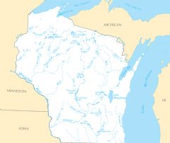
Wisconsin Rivers And Lakes
2449 x 2058
- 168,198k -
PNG
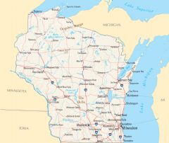
Wisconsin Reference Map
2455 x 2067
- 828,912k -
PNG
Wyoming Cities And Towns
2463 x 2070
- 92,771k -
PNG

Wyoming Rivers And Lakes
2460 x 2073
- 166,019k -
PNG
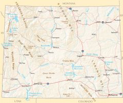
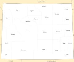
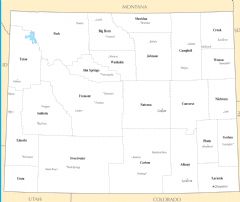
Wyoming Reference Map
2463 x 2076
- 1,558,642k -
PNG
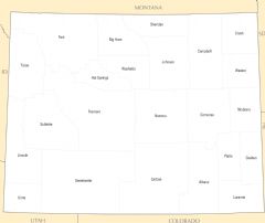
Wyoming County Map
2454 x 2064
- 105,450k -
PNG
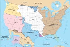
Territorial Acquisitions Of The United States
3075 x 2079
- 346,184k -
PNG
.jpg)
Shaded Relief Map Of Afghanistan (physical)
1904 x 1554
- 1,250,353k -
JPG
.jpg)
Shaded Relief Map Of Afghanistan (political)
1896 x 1528
- 1,395,108k -
JPG
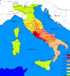
Roman Conquest Of Italy
1100 x 1200
- 112,907k -
PNG
Roman Empire In Ad 125
1200 x 978
- 525,936k -
JPG
Map Of Ottoman Empire In 1900
1000 x 627
- 135,606k -
PNG
Ottoman Empire 16 17th Century
1365 x 998
- 254,587k -
JPG
Ottoman Empire In 1914
640 x 741
- 28,459k -
PNG
Ottoman Empire Largest Borders Map
689 x 696
- 151,426k -
PNG
The Ottoman Empire
1210 x 806
- 270,554k -
JPG
The Ottoman Empire 1299 1699
1799 x 1055
- 186,300k -
PNG
Ottoman Empire Expansion
1200 x 859
- 103,573k -
PNG
The Ottoman Empire In 1481
1000 x 833
- 218,205k -
JPG
The Growth Of The Ottoman Empire
1200 x 1019
- 425,501k -
JPG
German Empire Map In 1914
1000 x 800
- 294,038k -
JPG
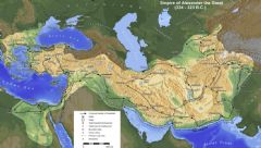
Alexander Empire 323 Bc
1280 x 710
- 459,674k -
JPG
Empire Of Alexander The Great
1092 x 617
- 241,596k -
JPG
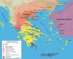
Map Macedonia 336 Bc
1000 x 800
- 188,008k -
JPG
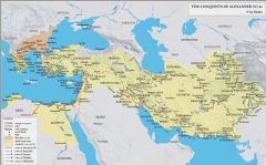
The Conquests Of Alexander 323
2000 x 1244
- 679,205k -
JPG
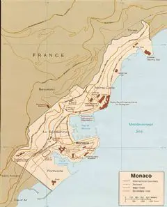
Monaco
2500 x 1276
- 594,700k -
JPG
Monaco Blank Map
758 x 910
- 20,007k -
PNG
Monaco City Map
2336 x 1090
- 547,366k -
PNG
Monaco France Map
1151 x 1405
- 100,391k -
PNG
Monaco Location
965 x 966
- 35,468k -
PNG
Monaco Map
971 x 1203
- 310,698k -
JPG
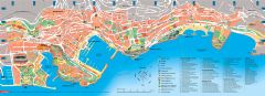
Tourist Map Monaco
4000 x 1443
- 1,578,353k -
JPG
Carte D Taill E Des Villles
1455 x 1494
- 296,918k -
PNG
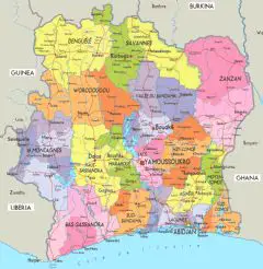
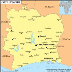
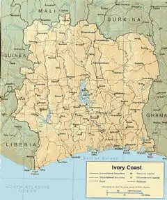
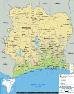
Cote Divoire Map
970 x 1254
- 585,244k -
JPG
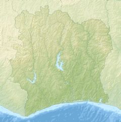
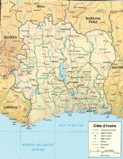
Cote D'ivoire Relief Map
1400 x 1414
- 468,643k -
PNG
Cote D Ivoire
888 x 888
- 131,151k -
PNG
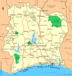
Cote D'ivoire Country Map
965 x 1160
- 314,320k -
PNG
Cotedivoire Main Roads
952 x 1005
- 129,150k -
PNG
Cote Divoire Political Map
755 x 1082
- 556,010k -
JPG
Cote Divoire Political Map
1200 x 1353
- 240,021k -
PNG
Cote D'ivoire Regions
1001 x 1200
- 105,260k -
PNG
Ivory Coast Flag Map
514 x 534
- 4,866k -
PNG
Ivory Coast Physical Map
1400 x 1784
- 302,050k -
PNG
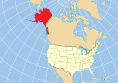
Alaska Location Map
983 x 687
- 49,412k -
PNG
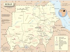
Sudan Map 2012
2986 x 2212
- 354,951k -
PNG
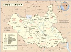
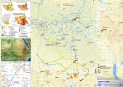
South Sudan Map 2012
2491 x 1845
- 296,036k -
PNG
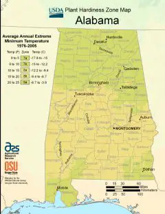
Alabama Plant Hardiness Zone Map
2220 x 2888
- 298,884k -
PNG
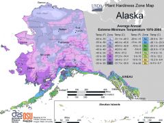
Alaska Plant Hardiness Zone Map
2994 x 2247
- 223,630k -
PNG
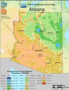
Arizona Plant Hardiness Zone Map
2232 x 2892
- 311,266k -
PNG
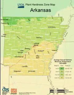
Arkansas Plant Hardiness Zone Map
2224 x 2876
- 296,233k -
PNG
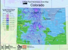
Colorado Plant Hardiness Zone Map
2895 x 2118
- 355,187k -
PNG
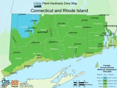
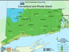
Connecticut Plant Hardiness Zone Map
2985 x 2238
- 221,078k -
PNG
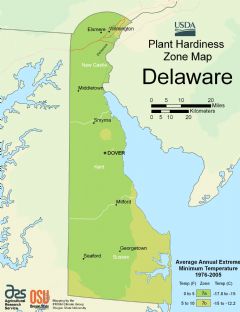
Delaware Plant Hardiness Zone Map
2216 x 2880
- 153,778k -
PNG

District Of Columbia Plant Hardiness Zone Map
2901 x 2124
- 362,960k -
PNG
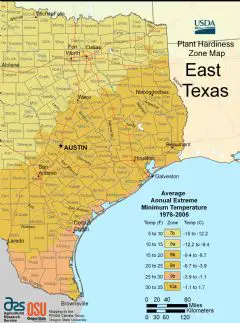
East Texas Plant Hardiness Zone Map
2232 x 3000
- 343,042k -
PNG
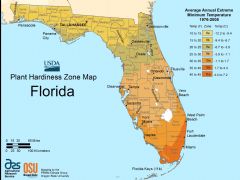
Florida Plant Hardiness Zone Map
2988 x 2238
- 215,439k -
PNG
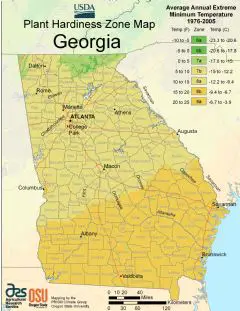
Georgia Plant Hardiness Zone Map
2228 x 2888
- 425,393k -
PNG
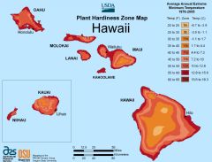
Hawaii Plant Hardiness Zone Map
3135 x 2388
- 148,659k -
PNG
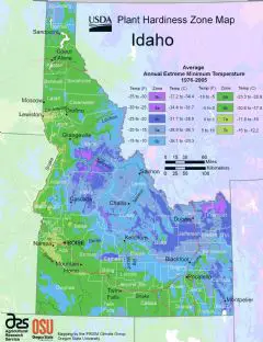
Idaho Plant Hardiness Zone Map
2204 x 2864
- 368,853k -
PNG
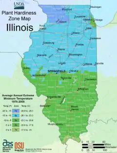
Illinois Plant Hardiness Zone Map
2212 x 2884
- 292,342k -
PNG
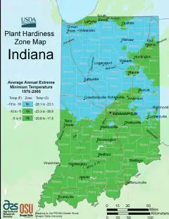
Indiana Plant Hardiness Zone Map
2224 x 2880
- 282,291k -
PNG
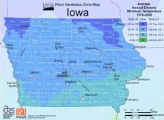
Iowa Plant Hardiness Zone Map
2889 x 2121
- 272,868k -
PNG
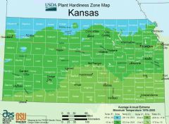
Kansas Plant Hardiness Zone Map
2889 x 2118
- 244,740k -
PNG
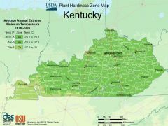
Kentucky Plant Hardiness Zone Map
2988 x 2235
- 377,682k -
PNG

Louisiana Plant Hardiness Zone Map
2220 x 2892
- 301,924k -
PNG
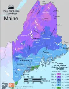
Maine Plant Hardiness Zone Map
2224 x 2884
- 248,205k -
PNG
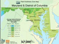
Maryland Plant Hardiness Zone Map
2898 x 2133
- 364,057k -
PNG
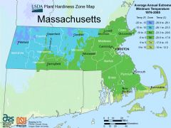
Massachusetts Plant Hardiness Zone Map
2991 x 2238
- 233,539k -
PNG
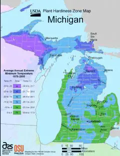
Michigan Plant Hardiness Zone Map
2224 x 2888
- 252,887k -
PNG
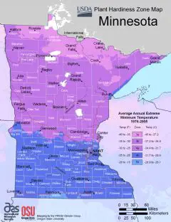
Minnesota Plant Hardiness Zone Map
2220 x 2888
- 261,783k -
PNG
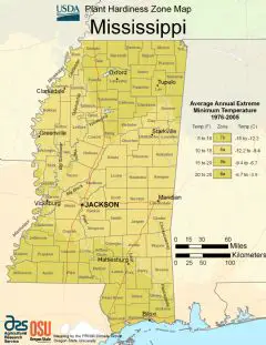
Mississippi Plant Hardiness Zone Map
2220 x 2876
- 331,293k -
PNG

Missouri Plant Hardiness Zone Map
2216 x 2892
- 324,885k -
PNG
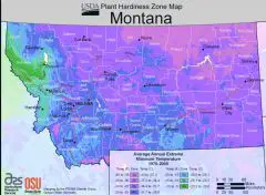
Montana Plant Hardiness Zone Map
2895 x 2118
- 364,927k -
PNG
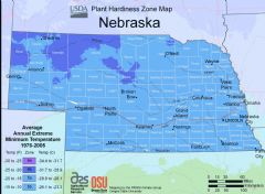
Nebraska Plant Hardiness Zone Map
2898 x 2121
- 260,434k -
PNG
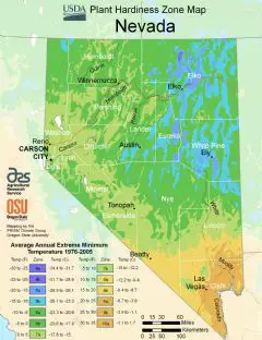
Nevada Plant Hardiness Zone Map
2220 x 2888
- 308,313k -
PNG
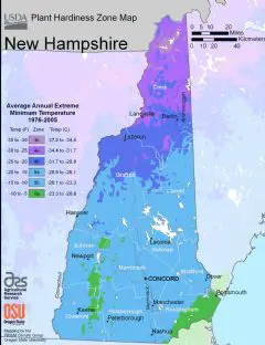
New Hampshire Plant Hardiness Zone Map
2224 x 2892
- 223,497k -
PNG
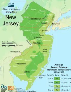
New Jersey Plant Hardiness Zone Map
2224 x 2884
- 246,717k -
PNG
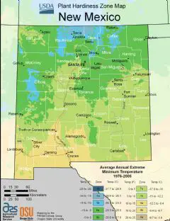
New Mexico Plant Hardiness Zone Map
2224 x 2888
- 290,028k -
PNG
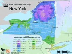
New York Plant Hardiness Zone Map
2988 x 2250
- 327,896k -
PNG
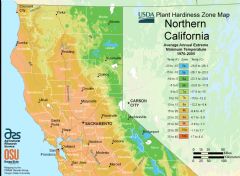
North California Plant Hardiness Zone Map
2895 x 2124
- 399,857k -
PNG
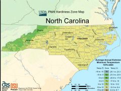
North Carolina Plant Hardiness Zone Map
2991 x 2241
- 410,729k -
PNG
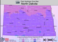
North Dakota Plant Hardiness Zone Map
2892 x 2124
- 197,294k -
PNG
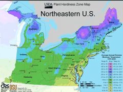
North East Us Plant Hardiness Zone Map
2988 x 2244
- 317,076k -
PNG
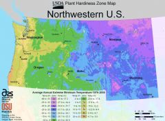
North West Us Plant Hardiness Zone Map
2889 x 2115
- 362,058k -
PNG
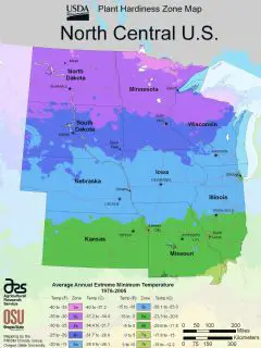
Noth Central Us Plant Hardiness Zone Map
2232 x 2980
- 244,284k -
PNG
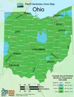
Ohio Plant Hardiness Zone Map
2212 x 2888
- 274,725k -
PNG
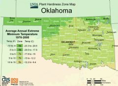
Oklahoma Plant Hardiness Zone Map
2889 x 2121
- 259,986k -
PNG
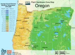
Oregon Alabama Plant Hardiness Zone Map
2886 x 2118
- 322,824k -
PNG
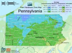
Pennsylvania Plant Hardiness Zone Map
2988 x 2232
- 387,320k -
PNG
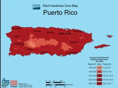
Puerto Rico Plant Hardiness Zone Map
2994 x 2241
- 119,588k -
PNG
Rhode Island Plant Hardiness Zone Map
2988 x 2241
- 220,783k -
PNG

South California Plant Hardiness Zone Map
2883 x 2121
- 302,817k -
PNG
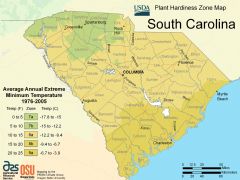
South Carolina Plant Hardiness Zone Map
2988 x 2238
- 335,499k -
PNG
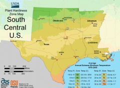
South Central Us Plant Hardiness Zone Map
2883 x 2115
- 210,195k -
PNG

South Dakota Plant Hardiness Zone Map
2886 x 2118
- 228,005k -
PNG
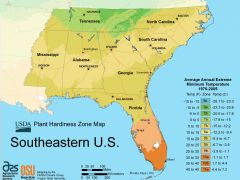
South East Us Plant Hardiness Zone Map
2985 x 2238
- 231,567k -
PNG
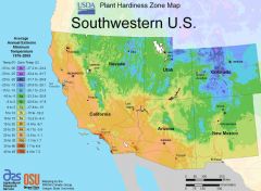
South West Us Plant Hardiness Zone Map
2886 x 2115
- 338,243k -
PNG
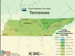
Tennessee Plant Hardiness Zone Map
2994 x 2241
- 377,339k -
PNG
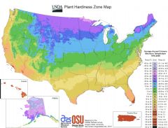
Us Plant Hardiness Zone Map
3168 x 2412
- 319,981k -
PNG
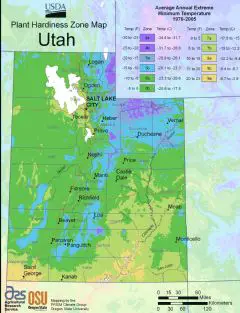
Utah Plant Hardiness Zone Map
2220 x 2896
- 362,379k -
PNG
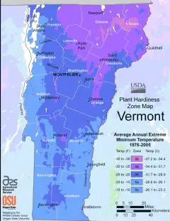
Vermont Plant Hardiness Zone Map
2224 x 2880
- 232,577k -
PNG
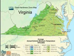
Virginia Plant Hardiness Zone Map
2988 x 2238
- 481,162k -
PNG
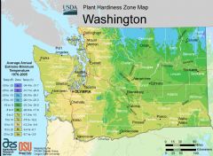
Washington Plant Hardiness Zone Map
2898 x 2124
- 357,028k -
PNG
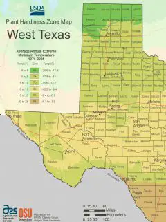
West Texas Plant Hardiness Zone Map
2232 x 2984
- 255,901k -
PNG
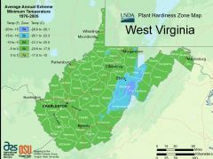
West Virginia Plant Hardiness Zone Map
2991 x 2235
- 332,111k -
PNG
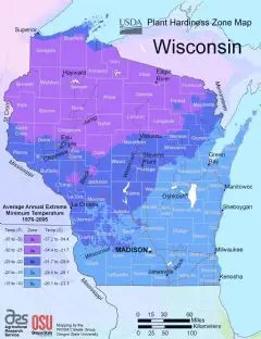
Wisconsin Plant Hardiness Zone Map
2216 x 2884
- 258,697k -
PNG
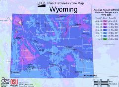
Wyoming Plant Hardiness Zone Map
2889 x 2121
- 349,744k -
PNG
Europe Countries Map Blank
2500 x 1957
- 155,627k -
PNG
Globe Map
2595 x 1422
- 135,040k -
PNG
World Physical Map With Cities
2586 x 1879
- 1,763,830k -
JPG
Color Map Barrel Shaped America
2595 x 1346
- 479,396k -
PNG
Color Map Barrel Shaped East Asia
2595 x 1346
- 524,947k -
PNG
Oval Shaped America Map
2595 x 1346
- 488,944k -
PNG
Oval Shaped East Asia Map
2595 x 1346
- 504,290k -
PNG
Oval Shaped World Map
2595 x 1346
- 502,225k -
PNG
World Color Map Barrel Shaped
2595 x 1346
- 507,838k -
PNG
Africa Simple Map Globe
2000 x 2000
- 123,977k -
PNG
Africa Political Map Globe
2000 x 2000
- 188,024k -
PNG
Africa Physical Map Globe
2000 x 2000
- 333,152k -
PNG
World Map Dotted
1800 x 900
- 55,824k -
PNG

World Map Dotted Black
3364 x 1912
- 756,028k -
PNG

Earth Bump Jpe
4000 x 2000
- 941,924k -
JPG
Earth Clouds
4096 x 2048
- 1,662,990k -
JPG
Earth Spec
4000 x 2000
- 759,994k -
JPG
Usa Colorful Map
3000 x 2031
- 406,561k -
PNG
World Vintage Map
3000 x 2229
- 194,065k -
PNG
South Asia Map
2000 x 2438
- 566,917k -
PNG
Us Map With Major Cities
2654 x 1292
- 181,309k -
PNG
World Oceans And Continents
1300 x 658
- 127,722k -
PNG
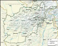
Afghanistan Topographical Map
2000 x 1589
- 651,263k -
PNG
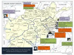
Afghanistan Major Enemy Groups
1800 x 1352
- 447,266k -
PNG
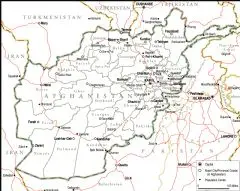
Afghanistan Political Map Full
2000 x 1592
- 281,961k -
PNG
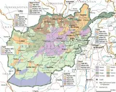
Afghanistan Ethno Linguistic Groups
2000 x 1586
- 415,897k -
PNG
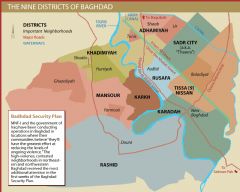
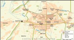
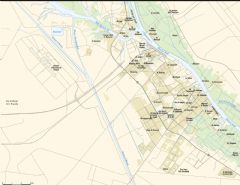
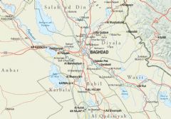
Baghdad City Districts
1600 x 1283
- 98,523k -
PNG
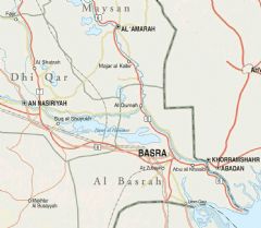
Basra Province Iraq
1092 x 952
- 171,179k -
PNG
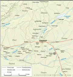
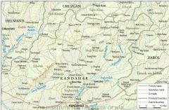
Central Kandahar
1200 x 1253
- 359,085k -
PNG
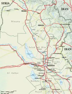
Central And Northern Iraq
1800 x 2337
- 523,454k -
PNG
Central Helmand Province
1600 x 1126
- 231,509k -
PNG

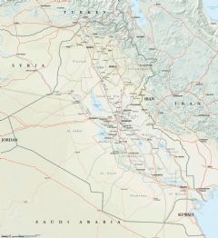
Full Map Of Iraq
2000 x 2174
- 808,094k -
PNG
Helmand South Map
1400 x 1903
- 562,115k -
PNG
Helmand Province Afghanistan
1400 x 1897
- 647,379k -
PNG
Iraq Country Map
1520 x 1456
- 126,869k -
PNG
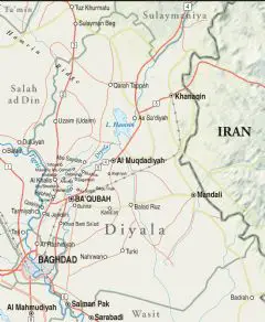
Iraq Diyala Province
1750 x 2131
- 460,383k -
PNG
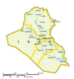
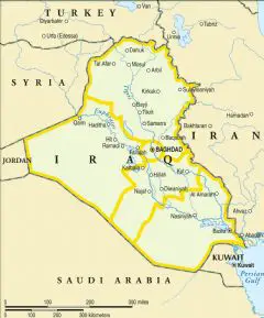
Iraq Only Map
1329 x 1416
- 118,007k -
PNG
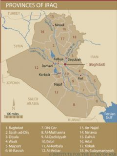
Iraqs Provinces
511 x 682
- 36,460k -
PNG
Kandahar City
1600 x 865
- 208,890k -
PNG
Kandahar North
1750 x 1143
- 690,962k -
PNG
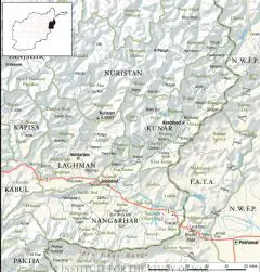
Kunar And Nuristan Map
2000 x 2094
- 815,894k -
PNG
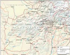
Map Of Afghanistan And Its Neighbors
1800 x 1431
- 618,829k -
PNG
Map Of Baghdad Neighborhoods
2000 x 1967
- 620,917k -
PNG
Map Of Basra
2000 x 1540
- 366,820k -
PNG
Map Of Central Iraq
2000 x 1395
- 434,716k -
PNG
Map Of Iraq And Its Neighbors
2000 x 2184
- 880,514k -
PNG

Map Of Northern Iraq
2000 x 2000
- 690,380k -
PNG

Map Of Southern Iraq
2000 x 1310
- 348,706k -
PNG
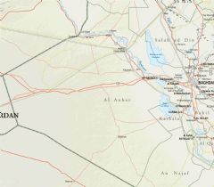
Map Of Western Iraq
2000 x 1748
- 425,090k -
PNG
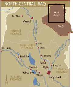
North Central Iraq
1100 x 1300
- 105,614k -
PNG
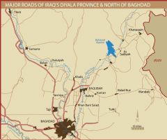
Northern Baghdad And Diyala Province Roads
2000 x 1679
- 198,281k -
PNG
Northern Helmand Province
1600 x 1416
- 503,075k -
PNG
Simple Map Of Iraq And Its Neighbors
1336 x 1606
- 222,284k -
PNG
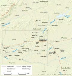
Zhari Panjwai
2000 x 2116
- 684,023k -
PNG
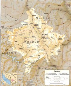
Kosovo Physical Map
1517 x 1825
- 958,830k -
JPG
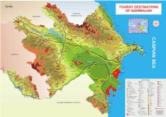
Tourist Destinations Of Azerbaijan
2500 x 1768
- 985,139k -
JPG
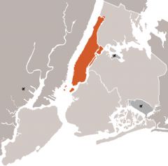
New York City And Manhattan
1000 x 988
- 129,496k -
PNG
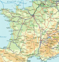
France Rail Map
650 x 682
- 173,469k -
JPG
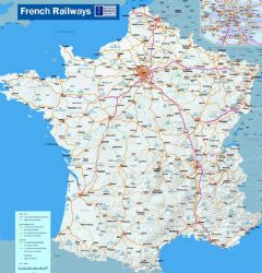
Fench Railways
1100 x 1146
- 460,458k -
JPG
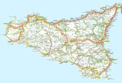
Sicily Road Map
1200 x 817
- 330,135k -
JPG
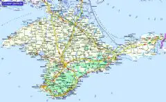
Crimean Peninsula
1800 x 1110
- 738,471k -
JPG
Australia With Roads And Cities
1640 x 1416
- 441,488k -
JPG

Map of Middle East religious composition
2000 x 1832
- 549,888k -
png

Egypt Map Arabic
2555 x 2000
- 1,173,532k -
jpg

Caribbean Sea
1920 x 1200
- 365,350k -
jpg

Puerto Rico Island
1920 x 1200
- 313,912k -
jpg

Caicos Passage
1920 x 1200
- 122,165k -
jpg

Merritt Island
1920 x 1200
- 178,709k -
jpg

Biscayne Bay
1920 x 1200
- 118,868k -
jpg

Florida Bay
1920 x 1200
- 123,294k -
jpg

Grand Bahama Island
1920 x 1200
- 121,985k -
jpg

Grand Abaco Island
1920 x 1200
- 133,002k -
jpg

New Providence Island
1920 x 1200
- 136,279k -
jpg

Kashmir Region
1500 x 1489
- 1,003,894k -
jpg

Kashmir Region Map
975 x 1116
- 427,772k -
jpg

Map Of Kashmir
1000 x 785
- 205,458k -
jpg

3 Kashmir
810 x 806
- 86,904k -
jpg

Eu Map 2016
1200 x 906
- 89,769k -
png

Eu Members And Canditates 2016
1173 x 1129
- 368,043k -
jpg
Ottoman Empire Map: Imperial Height & Decline (1683)
1088 x 960
- 1,314,029k -
png
US State Name Origins: An Etymological Map
896 x 1152
- 1,084,019k -
png