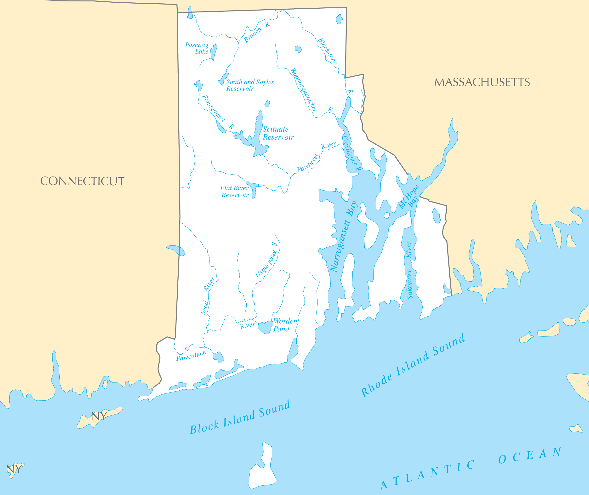
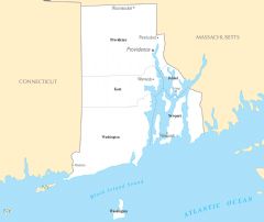
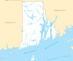
Rhode Island Rivers And Lakes
Rhode Island's small size means it has short coastal rivers versus long inland waterways. Still, these rivers were important for early industry.
The Blackstone River
The Blackstone River provided the water power to spur industrialization in Providence and the establishment of textile mills in the 18th and 19th centuries.
The Pawtuxet River
The Pawtuxet River flows through the heart of Rhode Island, from central ponds to Providence. Its mills helped propel the industrial revolution.
The Wood-Pawcatuck River
The Wood-Pawcatuck River forms the southwestern border between Rhode Island and Connecticut. Its tidal nature supported trade and shipbuilding.
Bodies of Water
Narragansett Bay
Narragansett Bay off the Atlantic Ocean has served as a central shipping hub. Newport and Providence drew trade as major colonial ports on the bay.
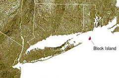
Block Island
Block Island is located 12 miles off Rhode Island's southern coast in the Atlantic. It is renowned for its lighthouses, bluffs, and beaches.
Rhode Island's coastal setting shaped its history and economy. Careful stewardship of its water resources will be needed to preserve its natural beauty.
More Rhode Island Static Maps
Map of Rhode Island Na 1
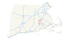
I 195 (ma Ri) Map
I 295 (ma Ri) Map

Map of Rhode Island Na 2
Map of Usa Ri
Map of Usa Highlighting Rhode Island
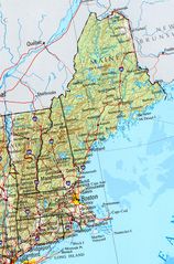
New England Ref 2001
Providence Metro Area
Rhode Island Ned500
Rhode Island Locator Map With Us
Us East Coast Map With Block Island Highligting
Yawgoog Ri
Map of Rhode Island Regions
Usa Rhode Island Location Map
Rhode Island Flag Map
Where Is Rhode Island Located
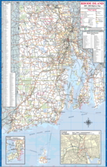
Rhode Island Highway Map
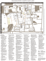
Uri Kingston Campus Map
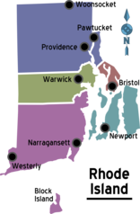
Rhode Island Cities And Towns
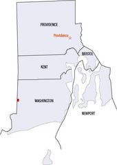
Rhode Island County Map
Rhode Island Reference Map
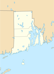
Rhode Island Rivers And Lakes