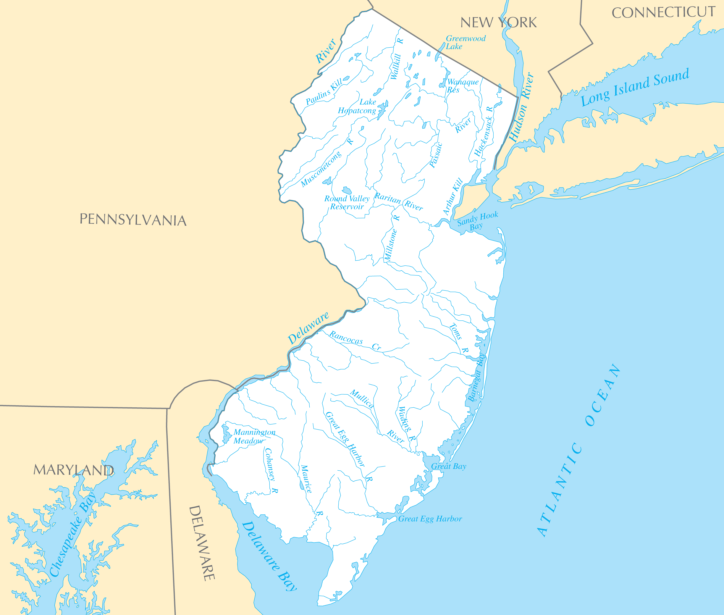
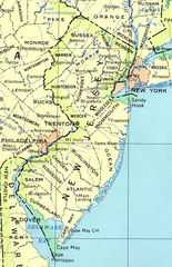
New Jersey Rivers And Lakes
New Jersey's location along major rivers and coastal waters catalyzed trade and industry.
The Delaware River
Forming the western border, the Delaware River allowed major ports like Camden and Trenton to thrive. It remains an important shipping channel.
The Hudson River
The Hudson River lies along New Jersey's eastern edge across from New York City. The Hudson waterfront was integral to New Jersey's industrialization.
The Raritan River
The Raritan River powered colonial mills and manufacturing growth in New Brunswick and other central New Jersey towns.
The Jersey Shore
New Jersey's Atlantic coastline has drawn tourism for generations.
The Atlantic Ocean
The Atlantic Ocean coast fostered seaside resorts like Atlantic City and Cape May drawing East Coast visitors.
Barnegat Bay
Barnegat Bay and other bays created a boating and fishing culture along the Jersey Shore.
New Jersey's geography allowed it to become a hub of commerce. Maintaining water quality remains crucial.
More New Jersey Static Maps
Map of New Jersey Na 1
New Jersey Regions Map
Usa New Jersey Location Map
New Jersey Reference Map 90

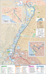
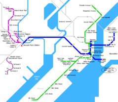
Hudson Bergen Light Rail Map
New Jersey Airports Map
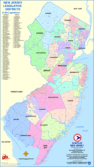
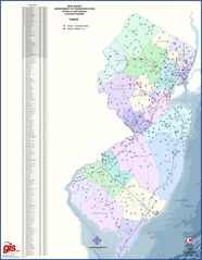
New Jersey Districts Map
New Jersey Heliports Map
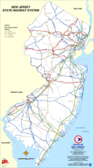
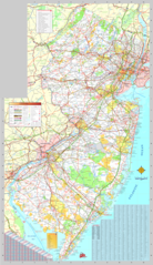
New Jersey Highway Map
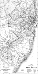
New Jersey Highway Old Map
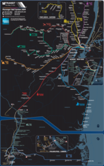
New Jersey Light Rail Map (subway)
New Jersey Metro System Map (subway)

New Jersey Parking Map
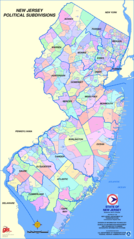
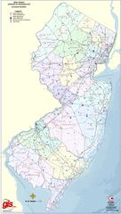
New Jersey Political Subdivisions Map
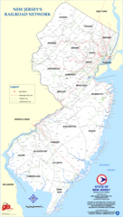
New Jersey Rail Road Map
New Jersey Rail System Map
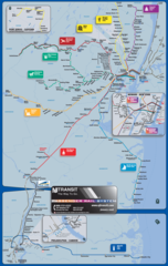
New Jersey Transport Map
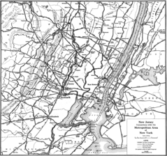
New Jersey Transport Old Map (1925)
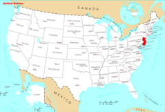
Where Is New Jersey Located
New Jersey Metro Map
New Jersey Cities And Towns
New Jersey County Map
New Jersey Reference Map
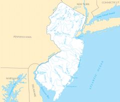
New Jersey Rivers And Lakes