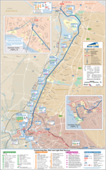
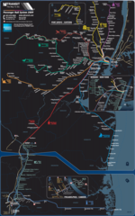
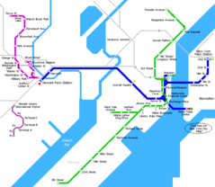
Hudson Bergen Light Rail Map
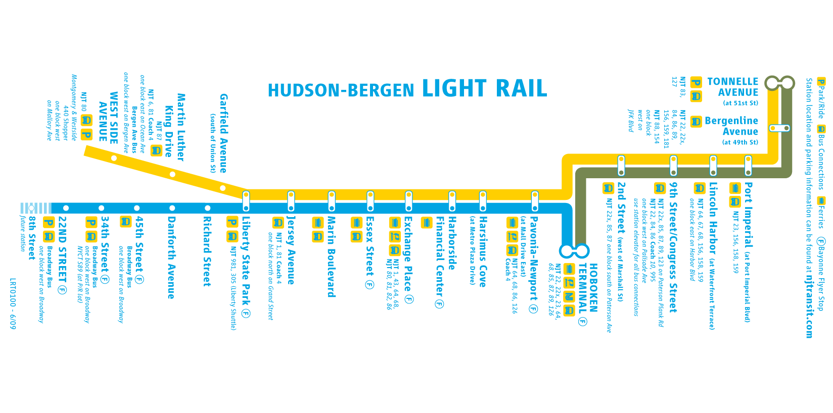
Click on the Hudson Bergen Light Rail Map to view it full screen. File Type: png, File size: 66636 bytes (65.07 KB), Map Dimensions: 1648px x 818px (256 colors)
More New Jersey Static Maps
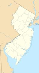
Map of New Jersey Na 1
1200 x 927 - 125,474k - png
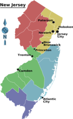
New Jersey Regions Map
1837 x 3009 - 159,021k - png
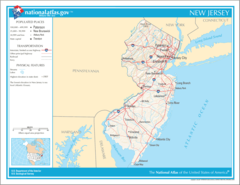
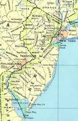
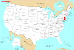
Usa New Jersey Location Map
1000 x 1859 - 91,336k - png
New Jersey Reference Map 90
480 x 741 - 162,534k - jpg

Hudson Bergen Light Rail Map
1648 x 818 - 66,636k - png
New Jersey Airports Map
1596 x 2822 - 712,603k - jpg
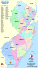
New Jersey Districts Map
1400 x 2490 - 613,769k - png
New Jersey Heliports Map
2600 x 3345 - 1,137,925k - jpg
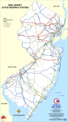
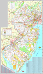
New Jersey Highway Map
1208 x 2151 - 312,260k - png
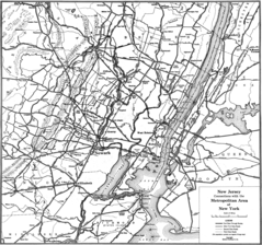
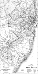
New Jersey Highway Old Map
1549 x 1450 - 513,479k - png
New Jersey Light Rail Map (subway)
1200 x 1917 - 535,541k - png
New Jersey Metro System Map (subway)
1100 x 1737 - 287,343k - png

New Jersey Parking Map
1800 x 3204 - 784,439k - png
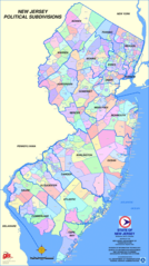
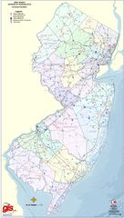
New Jersey Political Subdivisions Map
1800 x 3212 - 1,085,569k - png
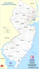
New Jersey Rail Road Map
1405 x 2486 - 430,970k - png
New Jersey Rail System Map
1330 x 2124 - 366,944k - png
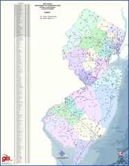
New Jersey Transport Map
1722 x 2984 - 1,739,739k - png
New Jersey Transport Old Map (1925)
848 x 1634 - 374,971k - png
Where Is New Jersey Located
1476 x 1002 - 136,047k - png
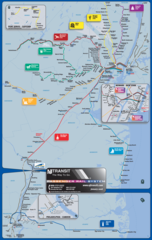
New Jersey Metro Map
738 x 642 - 14,318k - png
New Jersey Cities And Towns
2454 x 2073 - 140,635k - PNG
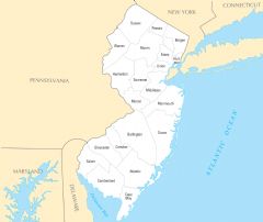
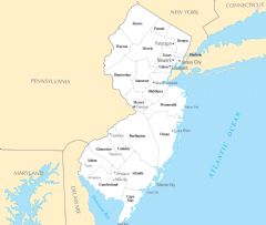
New Jersey County Map
2451 x 2067 - 127,983k - PNG
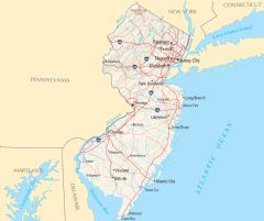
New Jersey Reference Map
2460 x 2064 - 456,419k - PNG
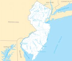
New Jersey Rivers And Lakes
2448 x 2079 - 179,900k - PNG
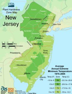
New Jersey Plant Hardiness Zone Map
2224 x 2884 - 246,717k - PNG