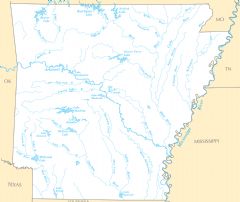
Arkansas Rivers And Lakes
Several important rivers flow through the state of Arkansas.
Arkansas River
The Arkansas River is one of the most significant rivers in the state. Facts about the Arkansas River:
- It flows southeast over 1,460 miles from Colorado to Arkansas.
- Within Arkansas, it passes through the cities of Little Rock, Fort Smith, and Pine Bluff.
- The McClellan-Kerr Navigation System along the river allows extensive barge transportation.
- It provides irrigation, hydroelectric power, and recreational sites like the Arkansas River Trail.
White River
The White River is another vital Arkansas river. Details:
- It flows 720 miles through the eastern half of Arkansas.
- The river goes through the Ozark and Ouachita Mountains in northwest and central Arkansas.
- It has stunning bluffs, forests, springs, and caverns along its course.
- The White River supports boating, fishing, and other recreation.
Red River
The Red River forms part of Arkansas's southern border with Texas and Louisiana. Facts about the Red River:
- It joins the Mississippi River near Louisiana after flowing southeast over 1,000 miles.
- The river historically marked a divide between Native American territories.
- It later became important for steamboat trade and cotton plantations.
Major Lakes in Arkansas
Notable lakes in the state include:
- Lake Ouachita: Arkansas's largest lake, located in the Ouachita Mountains.
- Bull Shoals Lake: Created by a dam on the White River near the Missouri border.
- Lake Greeson: In the Ouachita National Forest, popular for fishing and boating.
- DeGray Lake: A reservoir on the Caddo River, used for recreation.
Arkansas' rivers and lakes shape its topography while supporting wildlife, commerce, and recreation across the state.
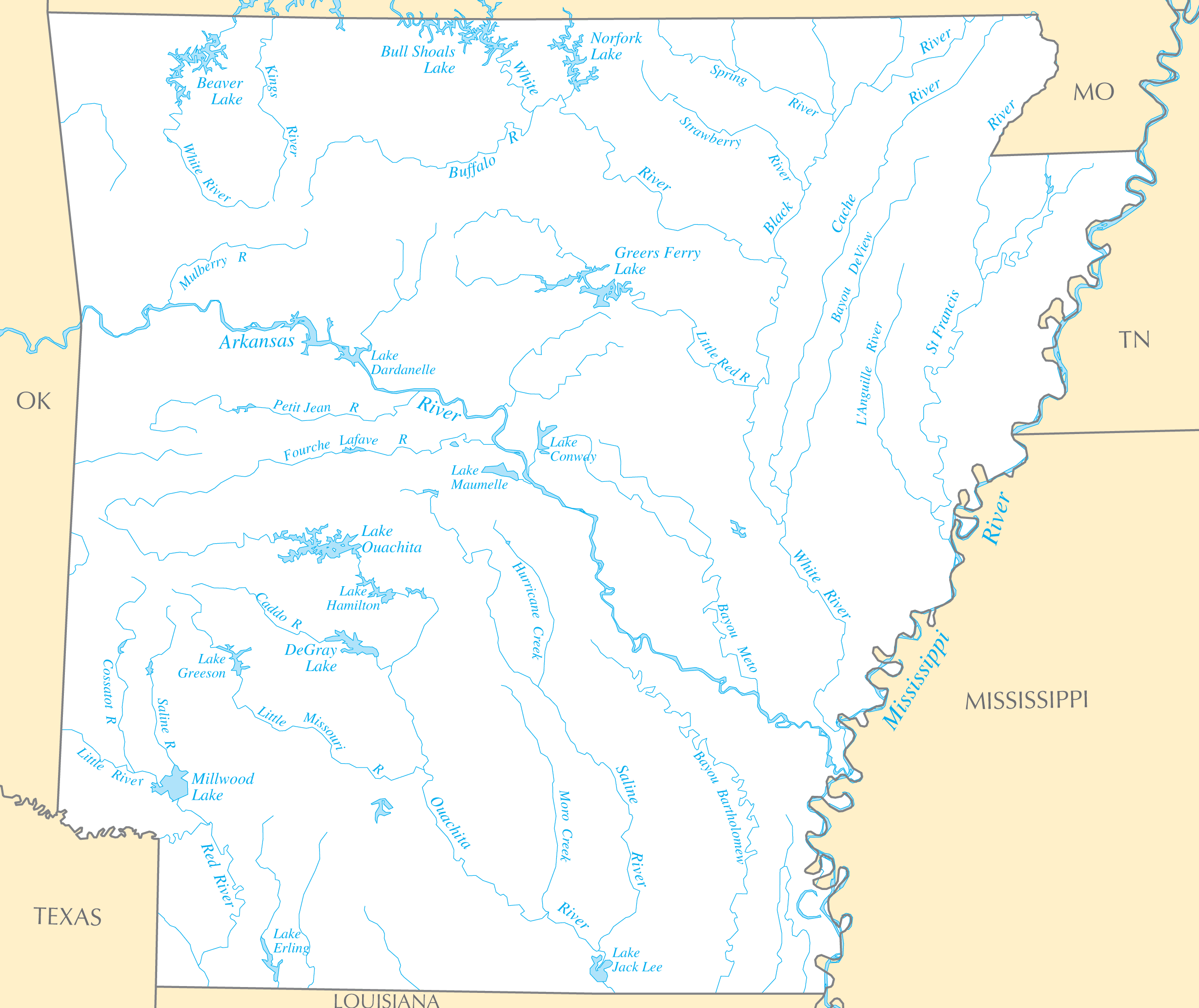
Click on the Arkansas Rivers And Lakes to view it full screen. File Type: PNG, File size: 207886 bytes (203.01 KB), Map Dimensions: 2457px x 2067px ( colors)
More Arkansas Static Maps

Arkansas Flag Map
1045 x 1218 - 42,698k - png
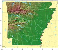
Arkansas Relief Map
1139 x 955 - 178,262k - jpg
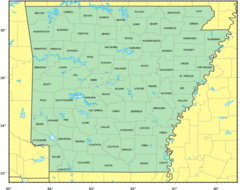
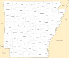
Counties Location Map of Arkansas
1358 x 1077 - 106,645k - png
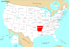
Where Is Arkansas Located
1476 x 1002 - 135,404k - png
Arkansas Cities And Towns
2456 x 2067 - 169,466k - PNG
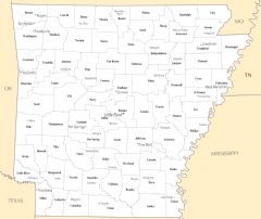
Arkansas County Map
2457 x 2064 - 132,587k - PNG
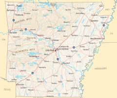
Arkansas Reference Map
2454 x 2070 - 1,383,803k - PNG
Arkansas Rivers And Lakes
2457 x 2067 - 207,886k - PNG
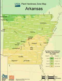
Arkansas Plant Hardiness Zone Map
2224 x 2876 - 296,233k - PNG