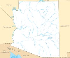
Arizona Rivers And Lakes
Arizona's rivers have allowed settlement and agriculture in the arid landscape. Major rivers include:
Colorado River
The Colorado River is one of the most important rivers in the Southwest. Facts about the Colorado River in Arizona:
- It forms the western border of Arizona with California and Nevada.
- Major reservoirs along the river include Lake Mead and Lake Havasu.
- The river flows through the Grand Canyon in northern Arizona, carving spectacular canyons.
- Cities that depend on the Colorado's water include Phoenix, Tucson, and Yuma.
Gila River
The Gila River flows from New Mexico across central and southern Arizona. Notable facts:
- The Gila supports extensive irrigation for agriculture in the desert climate.
- It flows west from Phoenix and meets the Colorado River near Yuma.
- The river is dammed in several locations, including Coolidge Dam, forming large reservoirs.
Little Colorado River
The Little Colorado River is a tributary of the Colorado River, flowing across eastern Arizona. Details:
- It carves the Grand Falls canyon before meeting the Colorado in the Grand Canyon.
- The river is an important source for the Navajo Nation and Hopi tribes.
- It flows through the Painted Desert and Navajo towns like Cameron.
Major Lakes in Arizona
Prominent lakes in Arizona include:
- Lake Mead: Formed by Hoover Dam along the Colorado River.
- Lake Powell: A huge Colorado River reservoir in northern Arizona.
- Lake Havasu: Created by a dam on the Colorado River and a popular recreation destination.
- Lake Pleasant: A reservoir north of Phoenix, important for water supply.
Arizona's rivers and lakes allow agriculture, commerce, and cities to thrive in an arid climate. They also create beautiful riparian habitats and recreation opportunities.
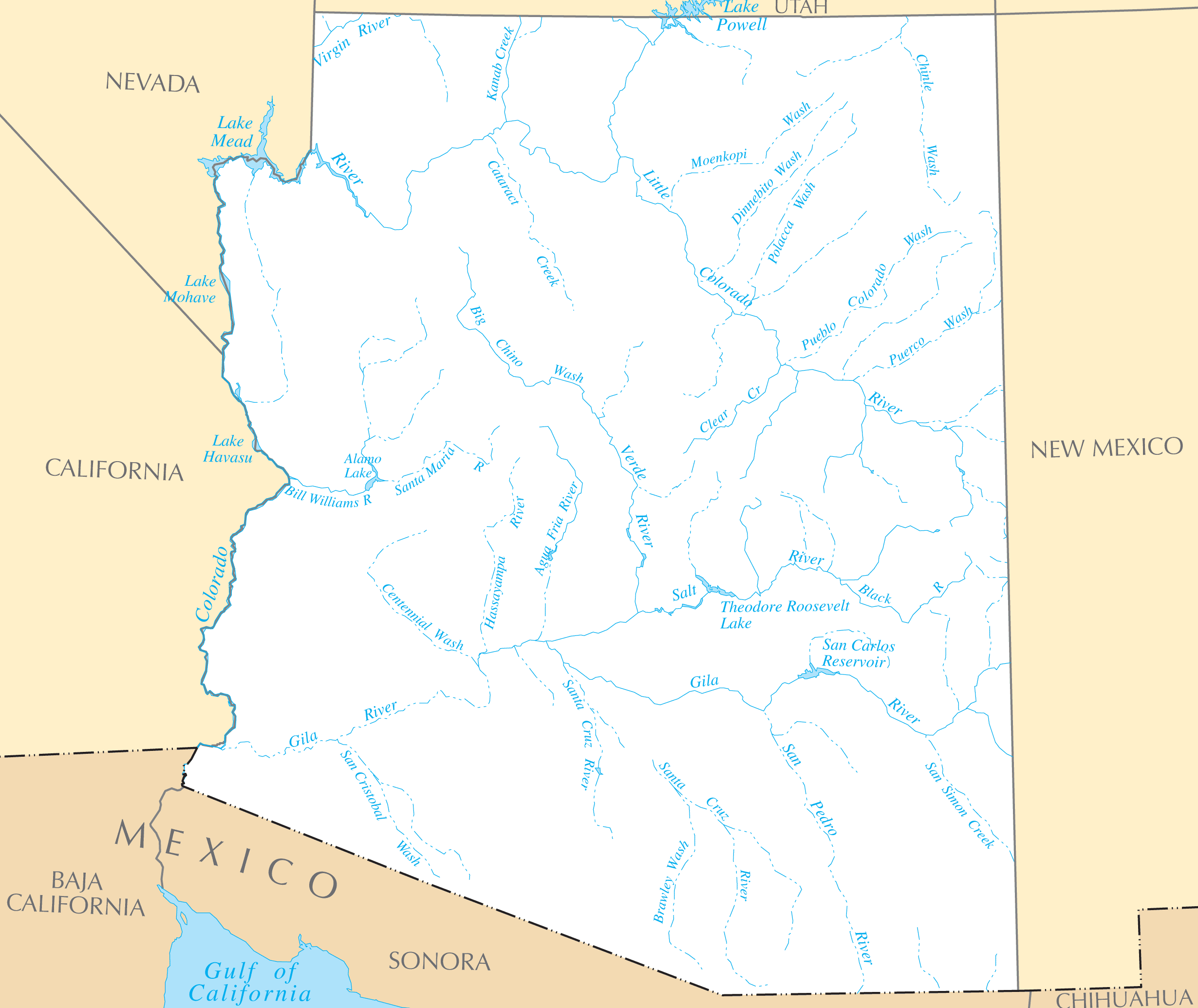
Click on the Arizona Rivers And Lakes to view it full screen. File Type: PNG, File size: 156675 bytes (153 KB), Map Dimensions: 2460px x 2070px ( colors)
More Arizona Static Maps

Arizona Flag Map
1494 x 1325 - 29,809k - png
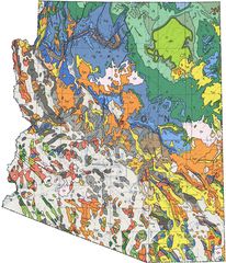
Arizona Geologic Map
1250 x 1454 - 390,855k - jpg
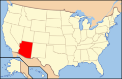
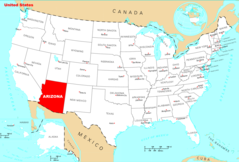
Arizona Location
800 x 520 - 26,204k - png
Arizona Physical Map
1200 x 1411 - 492,888k - png
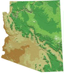
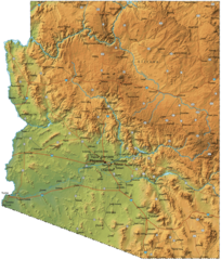
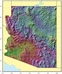
Arizona Relief Map
940 x 1069 - 217,060k - png
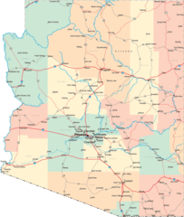
Arizona Road Map
1600 x 1887 - 238,819k - png
Arizona State Map
1800 x 2440 - 461,121k - png
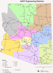
Engineering Districts Arizona
1024 x 1404 - 124,145k - png
Arizona Relief Map 1
961 x 1146 - 242,026k - jpg
Where Is Arizona Located
1476 x 1002 - 135,391k - png
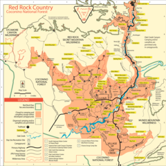
Coconino National Forest Map
2500 x 2500 - 771,048k - png
Arizona Cities And Towns
2454 x 2061 - 107,796k - PNG
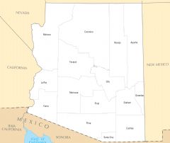
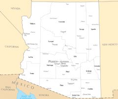
Arizona County Map
2463 x 2073 - 76,919k - PNG
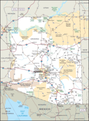
Arizona Reference Map
2460 x 2076 - 1,105,213k - PNG
Arizona Rivers And Lakes
2460 x 2070 - 156,675k - PNG
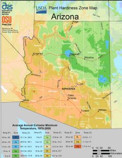
Arizona Plant Hardiness Zone Map
2232 x 2892 - 311,266k - PNG