Connecticut Rivers And Lakes
Several notable rivers flow through the state of Connecticut.
Connecticut River
The Connecticut River is the longest river in New England. Facts about the Connecticut River:
- It flows 410 miles from northern New Hampshire south through Vermont, Massachusetts, and Connecticut.
- It forms most of the border between Connecticut and Vermont/New Hampshire.
- The river flows through historic cities like Hartford, Middleton, and Essex.
- It empties into the Long Island Sound and was an important trade route in colonial America.
Housatonic River
The Housatonic River flows southwestern Connecticut into the Long Island Sound. Details about the Housatonic River:
- It rises in western Massachusetts and flows 149 miles to Long Island Sound.
- The river passes through the cities of Danbury and Shelton.
- It powered early industry but was later polluted by manufacturing waste.
Thames River
The Thames River flows through eastern Connecticut into the Long Island Sound at New London. Facts about the Thames River:
- It is only 15 miles long within Connecticut.
- The U.S. Navy base at Groton and submarines are located at the Thames river mouth.
- It was named after the River Thames in England by early English settlers.
Major Lakes in Connecticut
Some of the most notable lakes in Connecticut include:
- Candlewood Lake: Located in western Connecticut, it is the state's largest lake.
- Lake Lillinonah: The state's second largest lake, popular for recreation.
- Lake Champlain: A large natural freshwater lake that extends into New York and Vermont.
- Mashapaug Lake: Located in Union, CT, used for boating and fishing.
Connecticut's rivers and lakes were vital for early trade and industry. Today they continue to provide ecosystem, economic, and recreational benefits.
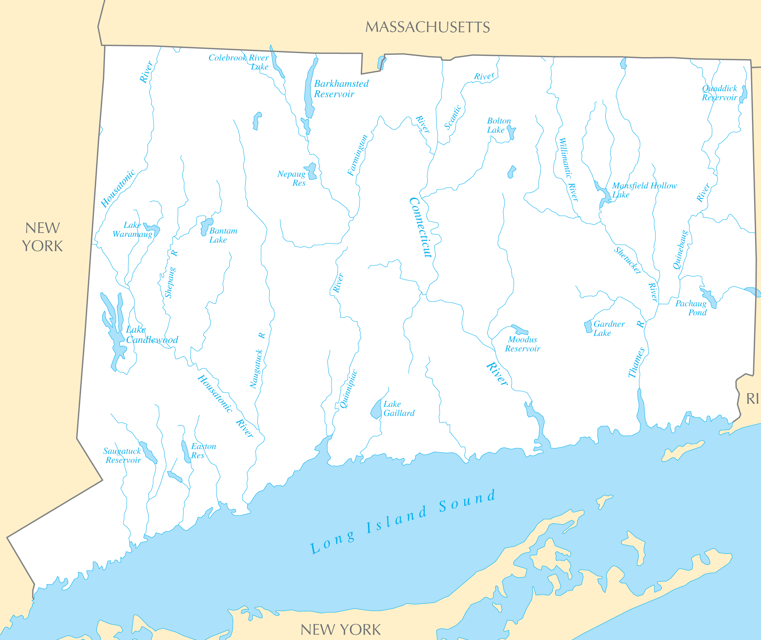
Click on the Connecticut Rivers And Lakes to view it full screen. File Type: PNG, File size: 157588 bytes (153.89 KB), Map Dimensions: 2451px x 2061px ( colors)
More Connecticut Static Maps
Map of Connecticut Na 1
1200 x 927 - 312,699k - png
Map of Connecticut Na Cropp 1
1200 x 973 - 281,530k - png

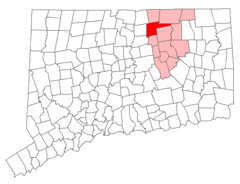
Andover Ct Highlight
574 x 439 - 16,237k - png
Ansoniactlocatormap
936 x 695 - 117,592k - png
Area Codes Ct
400 x 465 - 12,148k - png
Beconfallsctlocatormap
936 x 695 - 52,173k - png
Bethanyctlocatormap
936 x 695 - 52,202k - png
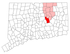
Bolton Ct Highlight
574 x 439 - 16,213k - png
Branfordctlocatormap
936 x 695 - 51,479k - png
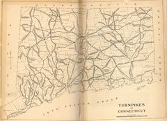
Ct Pikes
1800 x 1314 - 282,589k - jpg
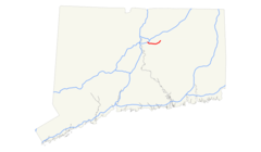
Ct 15 Map
335 x 238 - 6,882k - png
Ctmap County Boundaries
920 x 671 - 20,461k - png
Chechirectlocatormap
936 x 695 - 52,161k - png
Columbia Ct Highlight
574 x 439 - 16,224k - png
Connecticut 90
435 x 389 - 76,424k - jpg
Connecticut Blank
920 x 706 - 12,741k - png
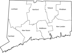
Connecticut Counties
800 x 583 - 20,301k - png

Connecticut Population Map 1
700 x 450 - 20,415k - png
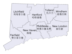
Connecticut Counties En Zh
721 x 543 - 17,899k - gif
Connecticut Counties Map
721 x 543 - 16,888k - gif
Coventry Ct Highlight
574 x 439 - 16,238k - png
Ctorangetownlocatormap
936 x 695 - 58,882k - png
Ctuscensusmap
1200 x 947 - 308,946k - png
Ctwesthavenlocatormap
936 x 695 - 51,479k - png
Derbyctlocatormap
936 x 695 - 52,141k - png
Ellington Ct Highlight
574 x 439 - 16,206k - png
Hamdenctlocatormap
936 x 695 - 51,545k - png
Hebron Ct Highlight
574 x 439 - 16,223k - png
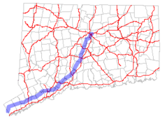
I 291 (ct) Map
920 x 536 - 15,382k - png
I 384 (ct) Map
920 x 536 - 15,211k - png