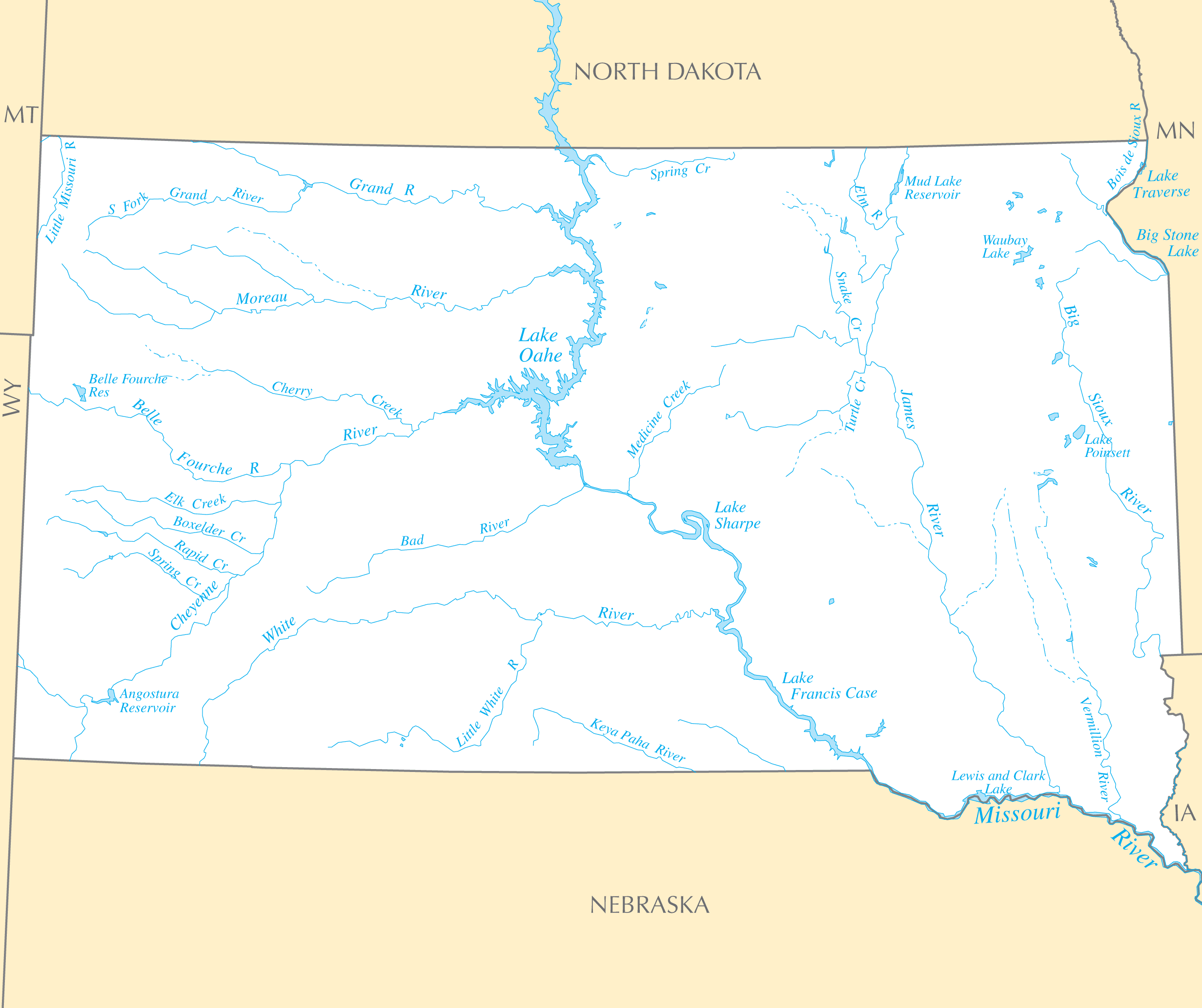
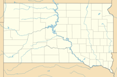
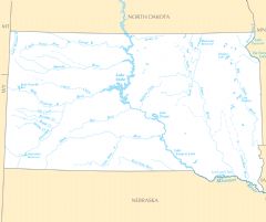
South Dakota Rivers And Lakes
Rivers in South Dakota have been essential for trade, transport, and irrigation.
The Missouri River
The Missouri River forms Lake Oahe as it traverses South Dakota north to south. Dams and diversions provide water for agriculture and cities.
The James River
The James River flows east through the southeastern part of the state, supporting the transportation of agricultural products.
The Big Sioux River
The Big Sioux River defines the border with Iowa and provides irrigation and drinking water. Sioux Falls takes its name from the falls on this river.
Significant Lakes
In addition to rivers, South Dakota has large lakes and reservoirs.
Lake Oahe
Lake Oahe is one of the largest man-made lakes in the U.S., formed by the Missouri River. It provides power and recreation opportunities.
Lake Sharpe
Lake Sharpe was created by the Big Bend Dam on the Missouri River. It supports fishing and tourism in central South Dakota.
Lake Francis Case
Lake Francis Case is another large Missouri River reservoir known for walleye and salmon fishing.
Water resources sustain South Dakota's agriculture, tourism, and energy needs. Conservation efforts continue.
More South Dakota Static Maps
Map of South Dakota Na 1
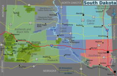
South Dakota Regions Map
Usa South Dakota Location Map
South Dakota Flag Map
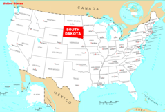
Where Is South Dakota Located
South Dakota Cities And Towns
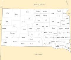
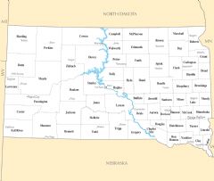
South Dakota County Map
South Dakota Rivers And Lakes
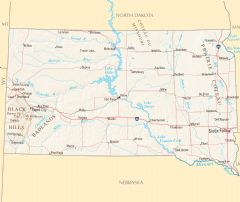
South Dakota Reference Map