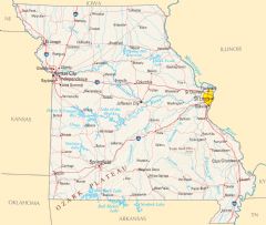
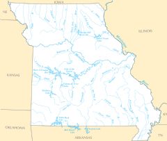
Missouri Rivers And Lakes
Missouri has many rivers that have played an important role in the state's history and development. The three largest rivers are:
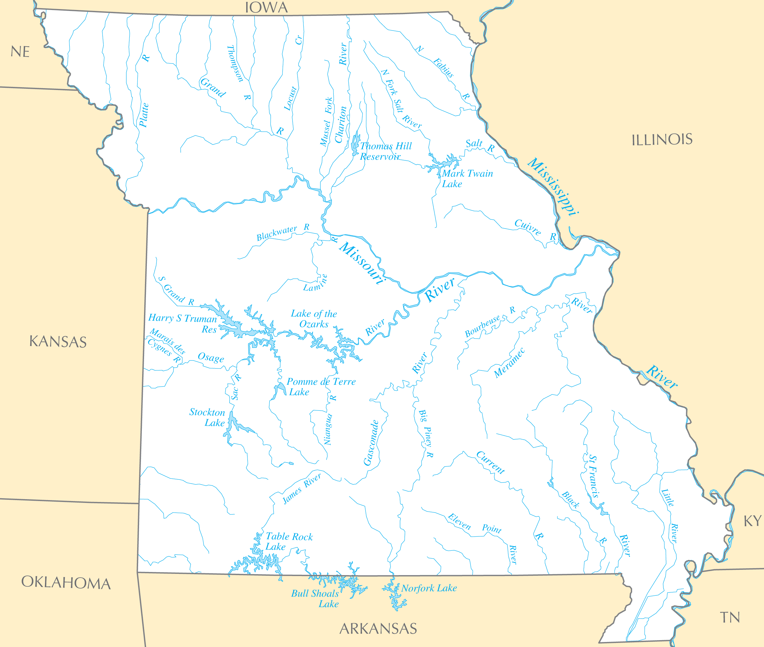
The Missouri River
The Missouri River is the longest river in North America, flowing over 2,500 miles from Montana to Missouri. The river forms the northern border of Missouri and was essential to exploration and trade in the early 19th century. St. Louis became an important port and trade hub due to its strategic location near the confluence of the Missouri and Mississippi rivers.
The Mississippi River
The Mississippi River forms the eastern border of Missouri and was vital for commerce and travel. St. Louis and other river towns processed and traded goods that were shipped up and down the Mississippi.
The Osage River
The Osage River flows through central Missouri and was used heavily in the 19th century to transport goods and cargo within the state. The Harry S. Truman Reservoir is a large lake along the Osage created by damming the river.
Major Lakes and Reservoirs
In addition to its rivers, Missouri has many large man-made lakes and reservoirs that provide recreation, hydroelectric power, and flood control.
Lake of the Ozarks
Lake of the Ozarks is a large, popular recreational lake in central Missouri, created by damming the Osage River. It has over 1,100 miles of shoreline, making it one of the longest man-made lakes in the United States.
Table Rock Lake
Table Rock Lake in southern Missouri is another large recreational lake used for fishing, boating and swimming. It was created by damming the White River and provides hydroelectric power.
Truman Reservoir
The Harry S. Truman Reservoir, created by damming the Osage River, is one of the largest reservoirs in Missouri at over 55,000 acres. In addition to recreation, it provides flood control and hydroelectric power.
Missouri's rivers and lakes have shaped the state's growth and continue to provide economic benefits through shipping, energy, and tourism. Protecting these important water resources will be key going forward.
More Missouri Static Maps
Map of Missouri Na 1
Alphamap
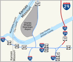
I 29 Kansas City 1
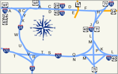
Kc Alphabet
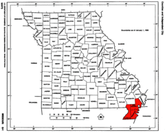
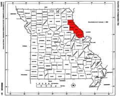
Map of Missouri Highlighting Bootheel
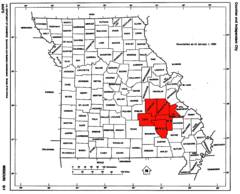
Map of Missouri Highlighting the Lead Belt
Map of Missouri Highlighting the Lincoln Hills
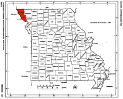
Map of Missouri Highlighting the Loess Hills
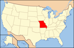
Map of Usa Mo
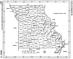
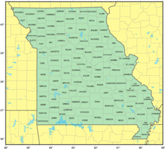
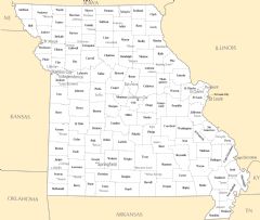
Missouri Counties
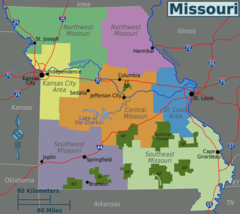
Missouri Regions Map
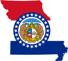
Missouri Flag Map
Counties Map of Missouri
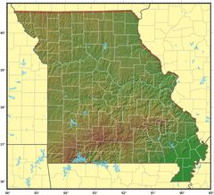
Missouri Relief Map
Missouri Transport Map
Missouri Cities And Towns
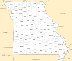
Missouri County Map
Missouri Reference Map
Missouri Rivers And Lakes