Kc Alphabet
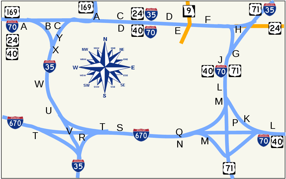
Click on the Kc Alphabet to view it full screen. File Type: png, File size: 27198 bytes (26.56 KB), Map Dimensions: 920px x 578px (256 colors)
More Missouri Static Maps
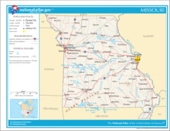
Map of Missouri Na 1
1200 x 927 - 337,720k - png
Alphamap
400 x 305 - 26,879k - gif
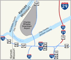
I 29 Kansas City 1
920 x 780 - 40,362k - png

Kc Alphabet
920 x 578 - 27,198k - png
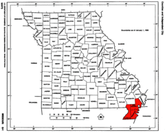
Map of Missouri Highlighting Bootheel
1429 x 1153 - 105,684k - gif
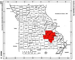
Map of Missouri Highlighting the Lead Belt
1429 x 1153 - 107,292k - gif
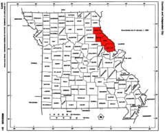
Map of Missouri Highlighting the Lincoln Hills
1429 x 1153 - 107,384k - gif
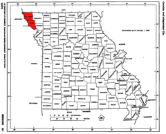
Map of Missouri Highlighting the Loess Hills
1429 x 1153 - 107,257k - gif
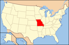
Map of Usa Mo
920 x 598 - 29,532k - png
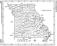
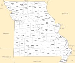
Missouri Counties
1429 x 1153 - 107,050k - gif
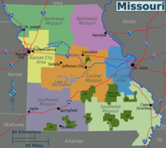
Missouri Regions Map
2300 x 2047 - 212,006k - png

Missouri Flag Map
1195 x 1076 - 54,488k - png
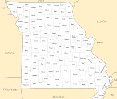
Counties Map of Missouri
1324 x 1196 - 113,482k - png
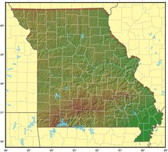
Missouri Relief Map
1223 x 1111 - 237,125k - jpg
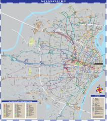
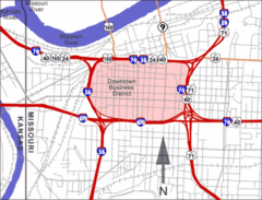
Missouri Transport Map
2200 x 2491 - 1,697,253k - png
Missouri Cities And Towns
2445 x 2067 - 190,586k - PNG
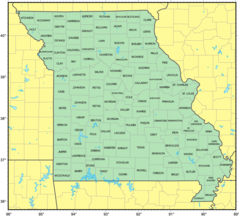
Missouri County Map
2445 x 2070 - 145,828k - PNG
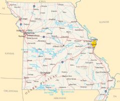
Missouri Reference Map
2451 x 2076 - 905,249k - PNG
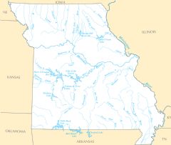
Missouri Rivers And Lakes
2445 x 2070 - 190,883k - PNG
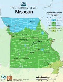
Missouri Plant Hardiness Zone Map
2216 x 2892 - 324,885k - PNG