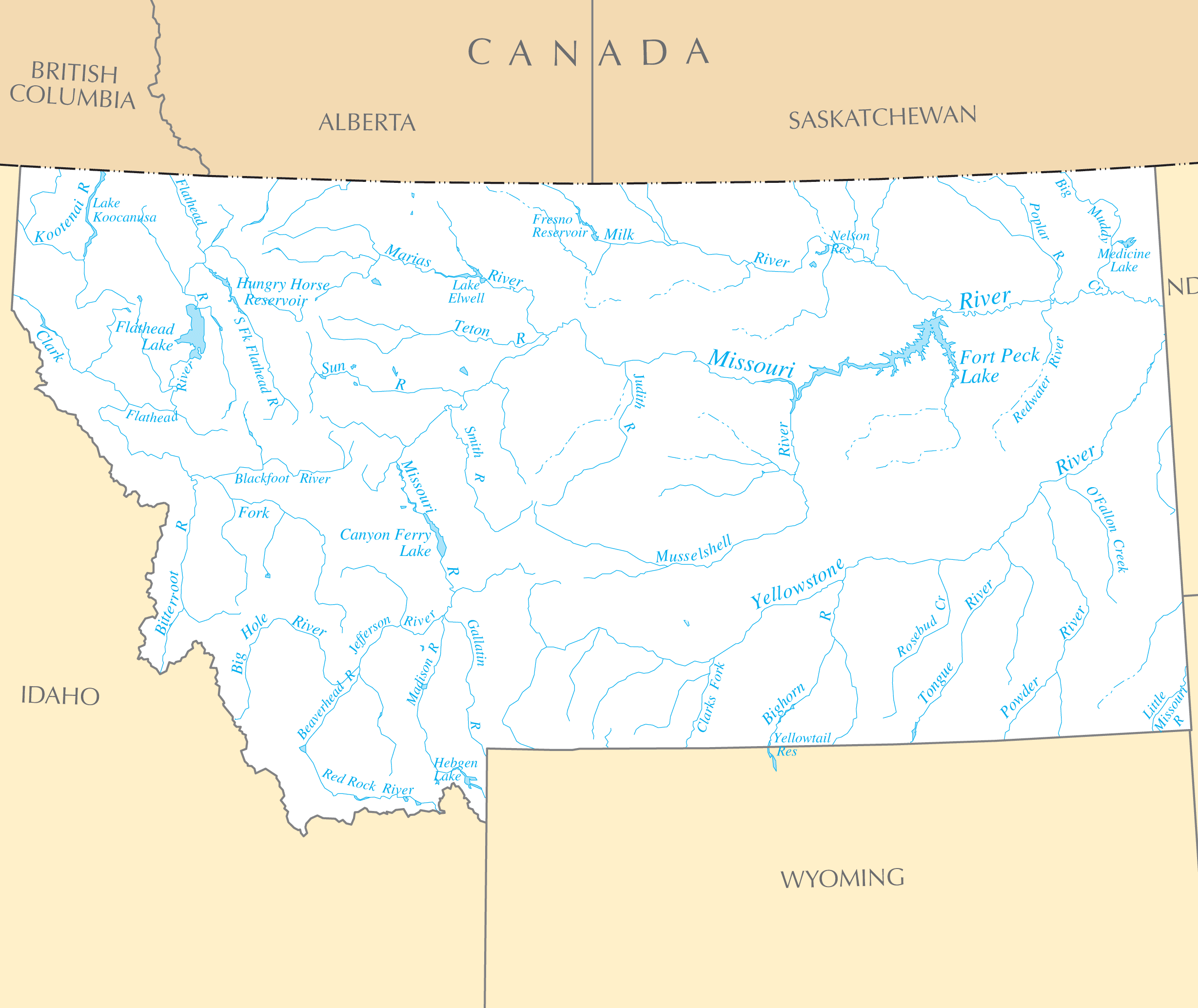
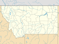
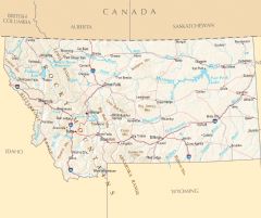
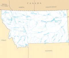
Montana Rivers And Lakes
Montana is home to several prominent rivers that have impacted the state's development and environment. The three most significant rivers are:
The Missouri River
The Missouri River is the longest river in Montana, flowing over 2,300 miles through the state. It was essential for Native Americans and the Lewis and Clark expedition. The river valley provided fertile farmland that led to settlement in areas like Great Falls.
The Yellowstone River
The Yellowstone River is the longest free-flowing river in the lower 48 states, flowing over 670 miles through Montana and Yellowstone National Park. It provides world-class trout fishing and impacts tourism in cities like Livingston.
The Clark Fork River
The Clark Fork River flows through western Montana for over 260 miles. The river valley and tributaries contained rich mineral deposits that drew settlers during the mining boom. It continues to provide irrigation for agriculture.
Prominent Lakes
In addition to mighty rivers, Montana has diverse lakes that are central to its rugged landscape.
Flathead Lake
Flathead Lake is the largest natural freshwater lake west of the Mississippi at over 190 square miles. It offers recreational activities like fishing, boating, and kayaking.
Whitefish Lake
Whitefish Lake is a popular tourist destination located in northwest Montana near Glacier National Park. It draws visitors for its scenic views and summer resorts.
Bitterroot Lake
Bitterroot Lake is an irrigation reservoir located along the Bitterroot River. It serves as an important source of water for agriculture in the valley and provides fishing access.
The rivers and lakes of Montana provide vital ecological, economic, and recreational resources for the state. Conservation efforts focused on protecting water quality and wildlife habitat associated with these waters will be crucial going forward.
More Montana Static Maps
Map of Montana Na 1
Absaroka Outline
Anishinaabewaki 2
Charles M Russell National Wildlife Refuge Map
Crowirmap
Fortpeckirmap
Mtmap Doton Fortbenton
Map of Usa Mt
Montana 1990
Montana Locator Map With Us
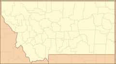
Montana Locator Map
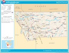
Montana Map
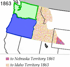
Wpdms Washington Territory 1863 Legend 3
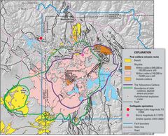
Yellowstone Caldera Map2
Usa Montana Location Map
Montana Flag Map
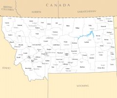
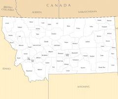
Counties Map of Montana
Montana Relief Map
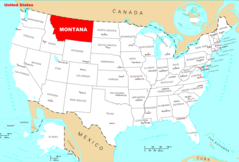
Where Is Montana Located
Montana Cities And Towns
Montana County Map
Montana Reference Map
Montana Rivers And Lakes