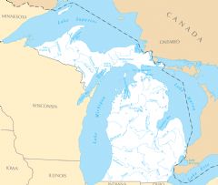
Michigan Rivers And Lakes
Michigan is defined by its abundant inland lakes and waterways. Some of its most notable rivers include:
Detroit River
The Detroit River connects Lake St. Clair to Lake Erie along Michigan's border with Canada. Facts about the Detroit River:
- It flows 32 miles and forms part of the waterway linking the Great Lakes.
- The river passes by the major city of Detroit, Michigan.
- Early French settlers established farms and vineyards along the Detroit River.
- Today it supports important international commerce and trade.
Grand River
The Grand River flows through western Michigan into Lake Michigan. Details about the Grand River:
- It spans over 260 miles through rural west Michigan.
- The river passes through the cities of Jackson, Lansing, and Grand Rapids.
- It provides recreation through a designated water trail system.
Muskegon River
The Muskegon River flows over 200 miles across central Michigan to Lake Michigan. Facts about the Muskegon River:
- It is noted for excellent fishing for trout, salmon and steelhead.
- The river flows through Big Rapids, Michigan and nearby Houghton Lake.
- It features whitewater segments popular for kayaking and rafting.
Notable Lakes in Michigan
Michigan borders four of the five Great Lakes:
- Lake Michigan - Borders Michigan's western shores and Lower Peninsula.
- Lake Huron - Forms much of northeastern Michigan's coastline.
- Lake Superior - Located in Michigan's remote Upper Peninsula.
- Lake Erie - Forms part of Michigan's southeastern border with Ontario.
Michigan's wealth of rivers and lakes provide vital resources for commerce, recreation, and the natural environment across the state.
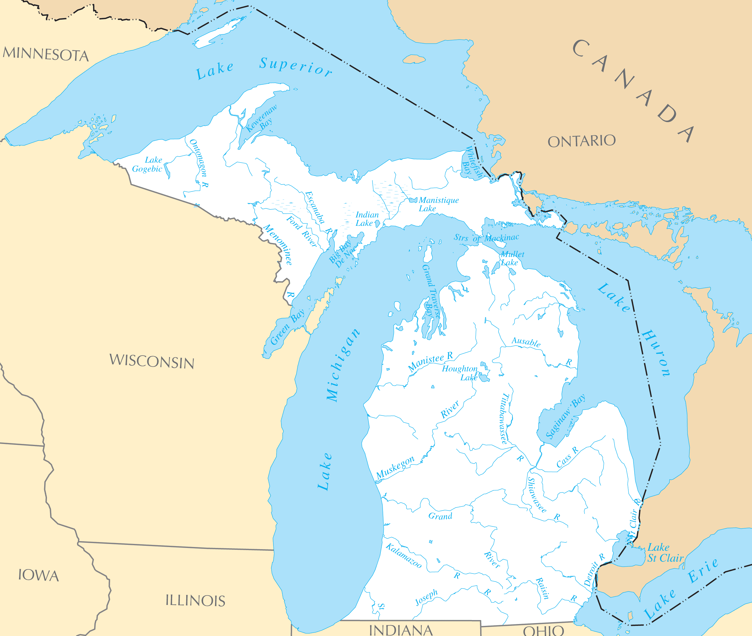
Click on the Michigan Rivers And Lakes to view it full screen. File Type: PNG, File size: 169569 bytes (165.59 KB), Map Dimensions: 2451px x 2073px ( colors)
More Michigan Static Maps
Map of Michigan Na 1
1200 x 927 - 124,940k - png
Michigan Regions Map
1736 x 2000 - 262,318k - png
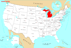
Usa Michigan Location Map
1000 x 1126 - 95,621k - png
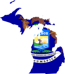
Michigan Flag Map
1282 x 1452 - 47,964k - png
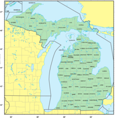
Counties Map of Michigan
1260 x 1299 - 131,987k - png
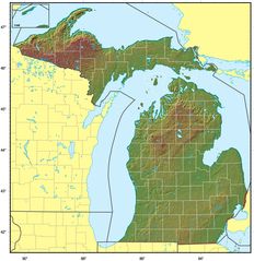
Michigan Relief Map
1610 x 1662 - 310,923k - jpg
Where Is Michigan Located
1476 x 1002 - 135,829k - png
Michigan Cities And Towns
2448 x 2070 - 200,482k - PNG

Michigan County Map
2454 x 2073 - 174,058k - PNG
Michigan Reference Map
2454 x 2079 - 511,290k - PNG
Michigan Rivers And Lakes
2451 x 2073 - 169,569k - PNG
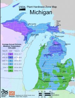
Michigan Plant Hardiness Zone Map
2224 x 2888 - 252,887k - PNG