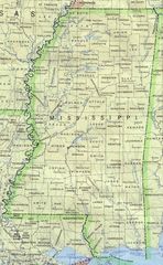
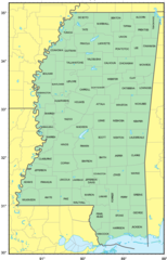
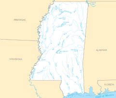
Mississippi Rivers And Lakes
Several important rivers flow through the state of Mississippi.
Mississippi River
The Mississippi River forms the western border of Mississippi. Facts about the Mississippi River in Mississippi:
- It flows over 2,300 miles from Minnesota to the Gulf of Mexico.
- The river passes through cities like Vicksburg, Natchez, and Greenville, Mississippi.
- Its delta provides vital ecosystem habitats in southern Mississippi.
- The river supported cotton trade and steamboat transport in early Mississippi.
Pearl River
The Pearl River is located in central Mississippi, flowing southwest from the state. Details about the Pearl River:
- It forms part of the boundary between Mississippi and Louisiana.
- The river passes through Jackson, Mississippi, the state capital.
- Its mouth merges with Lake Borgne near the Gulf of Mexico.
- The Pearl River supports aquatic species like alligator gar, paddlefish and blue catfish.
Tombigbee River
The Tombigbee River flows south through northeastern Mississippi from Tennessee. Facts about the Tombigbee River:
- It joins with the Alabama River near Demopolis, Alabama to form the Mobile River.
- The river flows through Columbus and Aberdeen, Mississippi.
- It was an important trade and transportation route for Native American tribes.
Notable Lakes in Mississippi
Some of Mississippi's largest lakes include:
- Ross Barnett Reservoir - Provides water supply and recreation near Jackson.
- Lake Ferguson - Located in the Mississippi Delta region.
- Grenada Lake - A flood control reservoir in northern Mississippi.
- Sardis Lake - Built and managed by the Army Corps of Engineers in north Mississippi.
Mississippi's rivers and lakes have shaped its history and culture while supporting vital ecosystems, agriculture, and transportation.
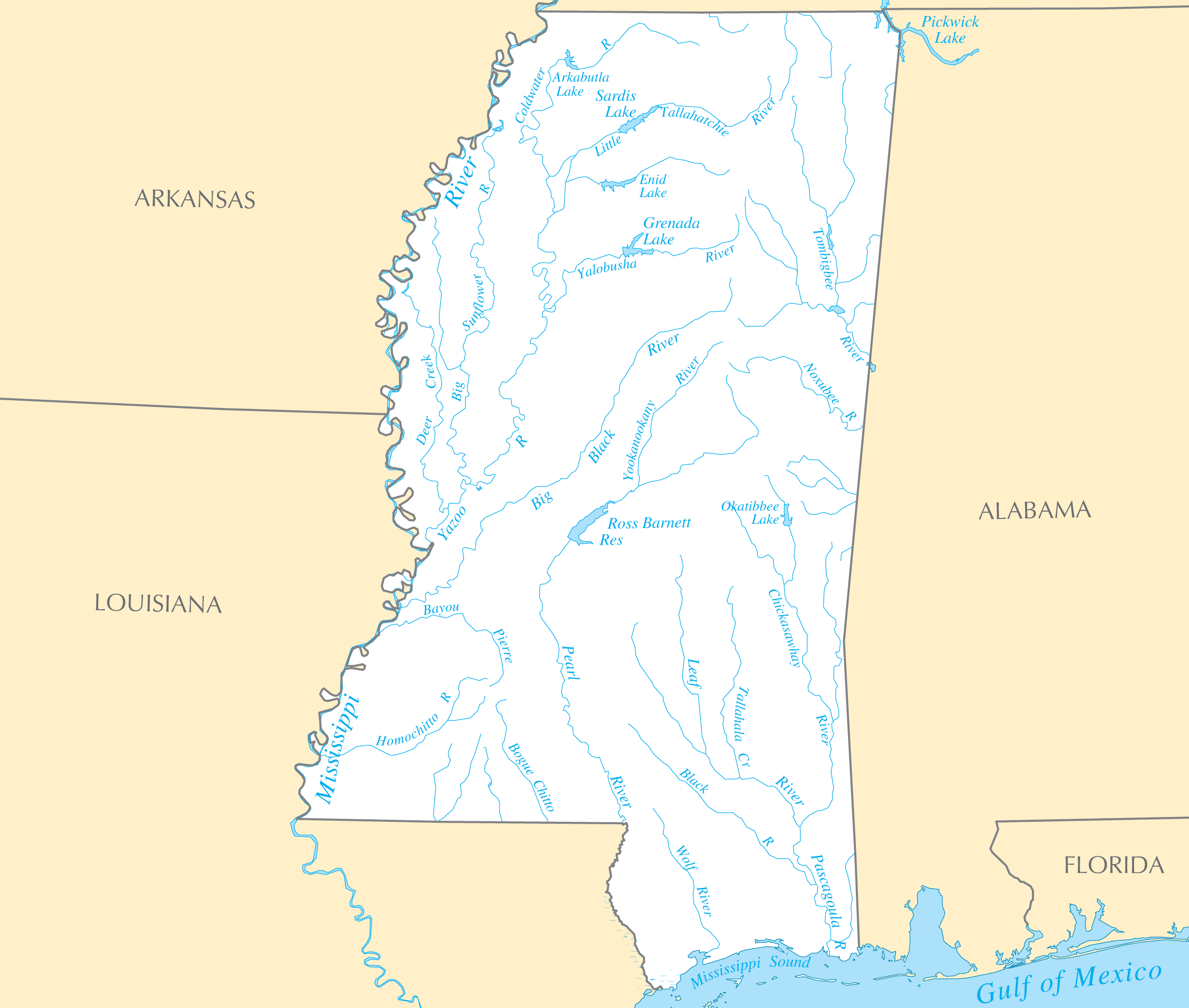
Click on the Mississippi Rivers And Lakes to view it full screen. File Type: PNG, File size: 147623 bytes (144.16 KB), Map Dimensions: 2445px x 2073px ( colors)
More Mississippi Static Maps
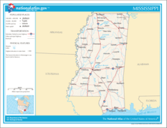
Map of Mississippi Na 1
1200 x 927 - 125,101k - png
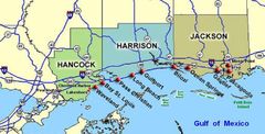
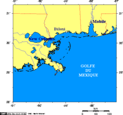
Ms Coasttowns Noaa
750 x 382 - 56,947k - jpg
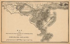
Map Pontchratrain Basin Isle of Orleans 1880
1585 x 1008 - 442,886k - jpg
Map of Mississippi Coast
514 x 482 - 8,287k - png
Map of Usa Ms Named
286 x 186 - 7,255k - gif
Map of Usa Ms
920 x 598 - 29,242k - png
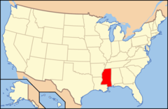
Map of Usa Highlighting Mississippi
280 x 183 - 9,762k - png
Mississippi 90
807 x 1310 - 238,159k - jpg
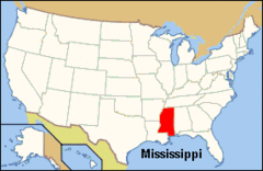
Mississippi Locator Map With Us
228 x 353 - 5,735k - png
Mississippi Territory Dark
480 x 431 - 16,194k - gif
Mississippi Counties Map Katrina Disaster Areas
500 x 805 - 49,018k - gif
Mississippi Counties Map Katrina Disaster Areas 1
500 x 805 - 95,807k - jpg
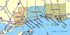
Mississippi Coast Towns Noaa
750 x 382 - 58,081k - jpg
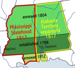
Mississippiterritory
480 x 431 - 16,746k - png
Usa Mississippi Location Map
1000 x 1592 - 120,881k - png

Mississippi Flag Map
928 x 1490 - 20,818k - png
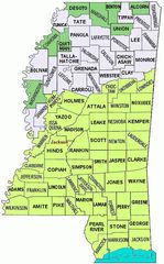
Counties Map of Mississippi
850 x 1326 - 87,316k - png
Mississippi Relief Map
1078 x 1682 - 208,613k - jpg
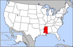
Where Is Mississippi Located
1476 x 1002 - 135,550k - png
Mississippi Cities And Towns
2457 x 2076 - 152,073k - PNG
Mississippi County Map
2457 x 2070 - 117,716k - PNG
Mississippi Reference Map
2445 x 2064 - 702,696k - PNG
Mississippi Rivers And Lakes
2445 x 2073 - 147,623k - PNG
Mississippi Plant Hardiness Zone Map
2220 x 2876 - 331,293k - PNG