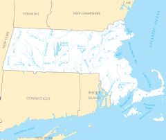
Massachusetts Rivers And Lakes
Massachusetts has many rivers that supported early American settlement and industry.
Connecticut River
The Connecticut River forms the western border between Massachusetts and Vermont/New Hampshire. Facts about the Connecticut River in Massachusetts:
- It flows 410 miles from northern New Hampshire to Long Island Sound.
- The river passes through cities like Springfield, Holyoke, and Northampton, Massachusetts.
- It provided power for early industrialization and textile mills in Massachusetts.
- Today it offers recreation like fishing, boating, and hiking along its watershed.
Merrimack River
The Merrimack River starts in central New Hampshire and flows through northeastern Massachusetts. Details about the Merrimack River:
- It runs 110 miles through Massachusetts, passing the cities of Lowell and Lawrence.
- Early textile mills utilized the Merrimack for hydropower starting in the 1820s.
- The river valley was the site of important early American Indian settlements.
Charles River
The Charles River flows 80 miles through eastern Massachusetts into Boston Harbor. Facts about the Charles River:
- It passes through the cities of Boston, Cambridge, Watertown, and Waltham.
- The Charles River Basin between Boston and Cambridge is a popular recreation destination.
- It is heavily used for sailing, rowing, and college crew races.
Notable Lakes in Massachusetts
Major lakes in Massachusetts include:
- Quabbin Reservoir - One of the largest manmade public water supplies in the U.S.
- Indian Lake - A reservoir in central Massachusetts, used for recreation.
- Lake Chaubunagungamaug - Located in southern Massachusetts, it has one of the longest lake names in the world.
- Lake Cochituate - Provides water to Boston and surrounding communities.
Massachusetts' rivers and lakes were vital to the state's early industrialization and continue to provide ecological, recreational and economic benefits.
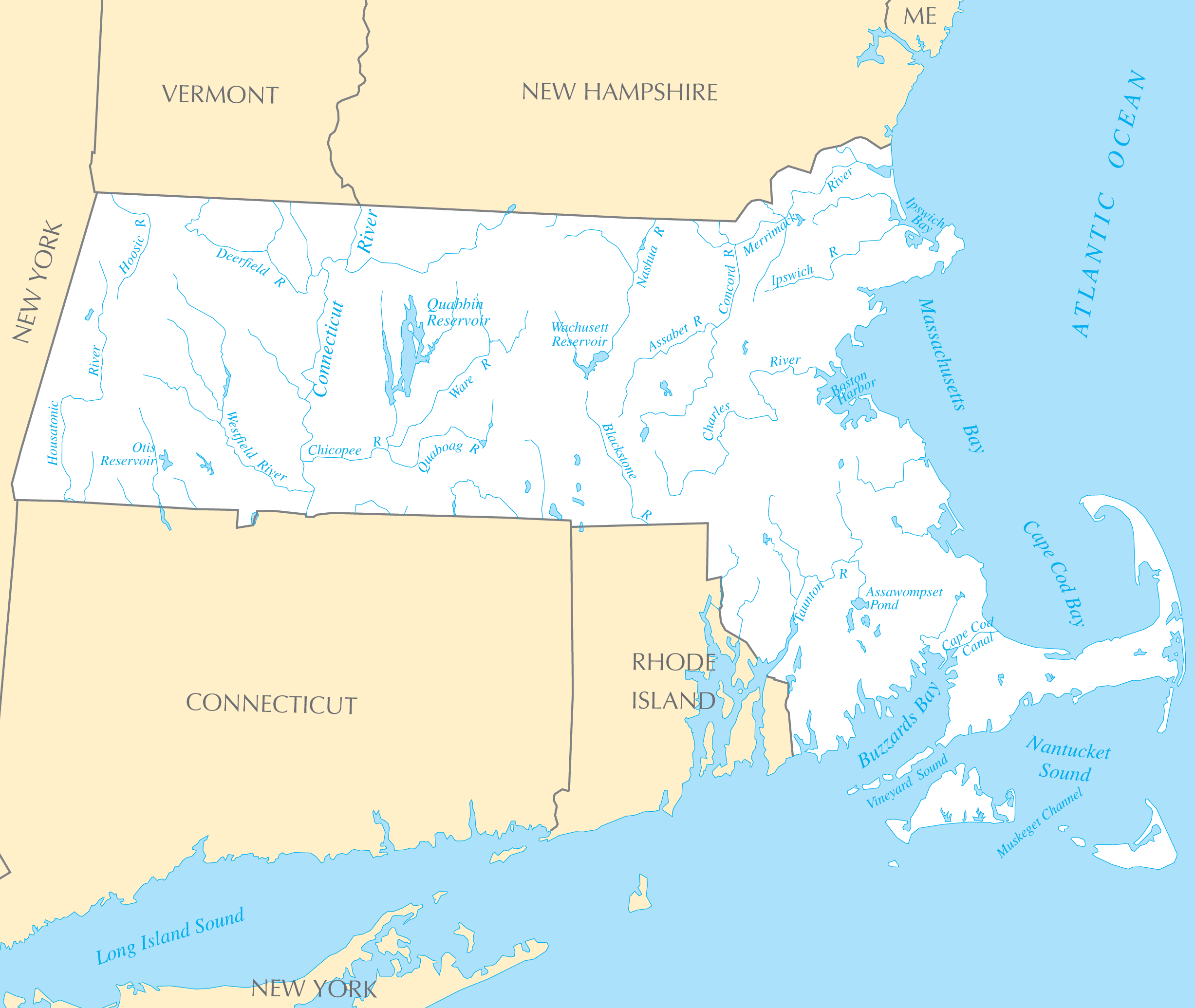
Click on the Massachusetts Rivers And Lakes to view it full screen. File Type: PNG, File size: 163835 bytes (160 KB), Map Dimensions: 2454px x 2070px ( colors)
More Massachusetts Static Maps
Map of Massachusetts Na 1
1200 x 927 - 146,141k - png
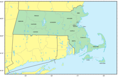
Map of Massachusetts Regions
3040 x 1874 - 150,397k - png
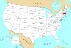
Usa Massachusetts Location Map
2000 x 1366 - 114,588k - png
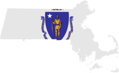
Massachusetts Flag Map
1460 x 905 - 33,839k - png
Counties Map of Massachusetts
1264 x 833 - 64,899k - png
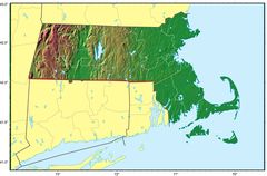
Massachusetts Relief Map
1778 x 1169 - 190,270k - jpg
Where Is Massachusetts Located
1476 x 1002 - 135,171k - png
Massachusetts Cities And Towns
2448 x 2055 - 144,252k - PNG
Massachusetts County Map
2436 x 2058 - 120,941k - PNG
Massachusetts Reference Map
2457 x 2064 - 641,219k - PNG
Massachusetts Rivers And Lakes
2454 x 2070 - 163,835k - PNG
Massachusetts Plant Hardiness Zone Map
2991 x 2238 - 233,539k - PNG