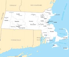
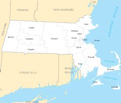
Massachusetts Reference Map
Massachusetts is a historic U.S. state located in the New England region of the northeast. A Massachusetts reference map outlines important features of the Bay State.
Regions
Massachusetts can be divided into distinct regions:
- Greater Boston - Densely populated metropolitan region surrounding Boston.
- Western Massachusetts - Rural area west of Greater Boston containing the Berkshires.
- Central Massachusetts - Includes Worcester County and rural towns.
- Northeastern Massachusetts - Coastal region north of Greater Boston known for beaches.
- Southeastern Massachusetts - Area south of Greater Boston including Cape Cod.
Major Cities
The most populated Massachusetts cities are:
- Boston - State capital and largest city. Center of the Greater Boston metro area.
- Worcester - Second largest city, located in Central Massachusetts.
- Springfield - Third largest city, in the western part of the state.
Bodies of Water
-
Atlantic Ocean - Forms the eastern coastline of Massachusetts.
- Cape Cod Bay - Indent in the coastline south of Cape Cod.
- Buzzards Bay - Large bay bordering southeastern Massachusetts.
In summary, a Massachusetts reference map outlines the U.S. state's varied regions, major cities, and surrounding bodies of water that shape its geography and settlement patterns.
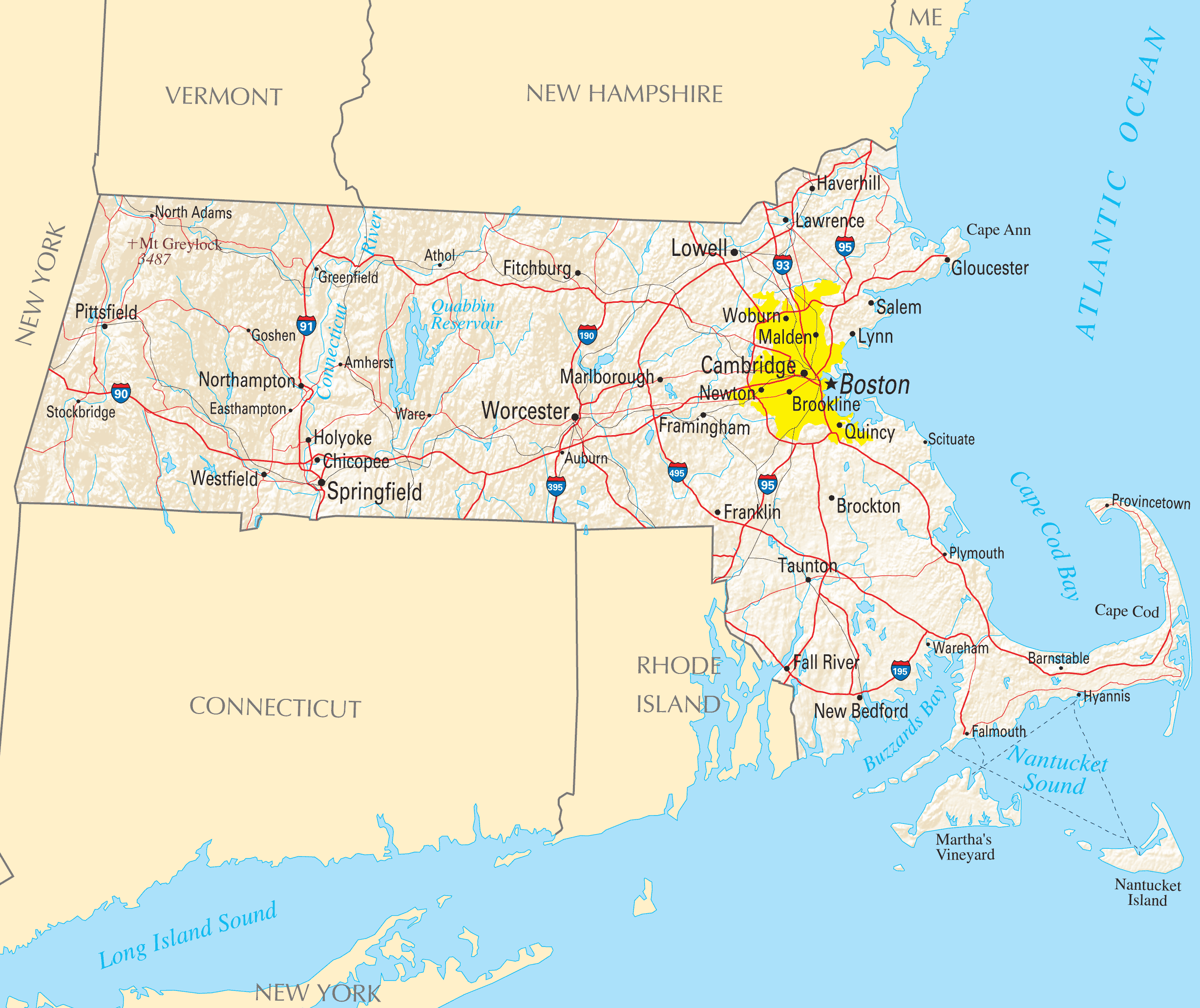
Click on the Massachusetts Reference Map to view it full screen. File Type: PNG, File size: 641219 bytes (626.19 KB), Map Dimensions: 2457px x 2064px ( colors)
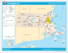
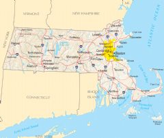
More Massachusetts Static Maps
Map of Massachusetts Na 1
1200 x 927 - 146,141k - png
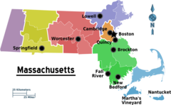
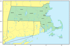
Map of Massachusetts Regions
3040 x 1874 - 150,397k - png
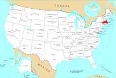
Usa Massachusetts Location Map
2000 x 1366 - 114,588k - png

Massachusetts Flag Map
1460 x 905 - 33,839k - png
Counties Map of Massachusetts
1264 x 833 - 64,899k - png
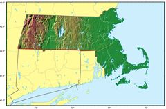
Massachusetts Relief Map
1778 x 1169 - 190,270k - jpg
Where Is Massachusetts Located
1476 x 1002 - 135,171k - png
Massachusetts Cities And Towns
2448 x 2055 - 144,252k - PNG
Massachusetts County Map
2436 x 2058 - 120,941k - PNG
Massachusetts Reference Map
2457 x 2064 - 641,219k - PNG
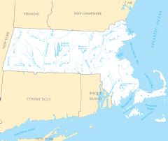
Massachusetts Rivers And Lakes
2454 x 2070 - 163,835k - PNG
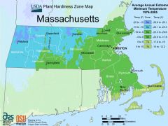
Massachusetts Plant Hardiness Zone Map
2991 x 2238 - 233,539k - PNG