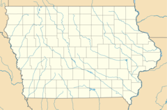
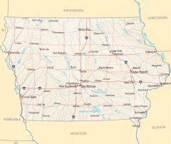
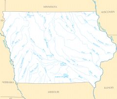
Iowa Rivers And Lakes
Iowa is drained by several important river systems.
Mississippi River
The Mississippi River forms Iowa's eastern border with Illinois and Wisconsin. Facts about the Mississippi River in Iowa:
- It flows over 2,300 miles from Minnesota to the Gulf of Mexico.
- The river passes along cities like Davenport, Dubuque, and Burlington, Iowa.
- Locks and dams make the Mississippi navigable for commercial river traffic.
- It provides recreation, water supply, and scenic views.
Missouri River
The Missouri River flows through western Iowa and forms part of its border with Nebraska and South Dakota. Details about the Missouri River in Iowa:
- It runs over 2,300 miles from Montana through the Great Plains.
- The river passes along Council Bluffs, Iowa and Sioux City, Iowa.
- It was a vital route for Native Americans and early explorers and settlers.
Cedar River
The Cedar River flows southeast through central Iowa. Facts about the Cedar River:
- It is a tributary of the Iowa River, spanning nearly 300 miles.
- The river flows through Cedar Falls, Waterloo, and Cedar Rapids, Iowa.
- It is prone to major flooding, like the devastating Cedar River flood of 2008.
Notable Lakes in Iowa
Some of Iowa's biggest lakes include:
- West Okoboji Lake - Considered Iowa's top vacation lake in the north.
- East Okoboji Lake - Joined with West Okoboji to form Iowa's Great Lakes.
- Clear Lake - The state's third largest natural lake, popular for recreation.
- Rathbun Lake - A major reservoir in southern Iowa, created by damming the Chariton River.
Iowa's rivers and lakes have been vital for transportation, agriculture, and commerce throughout its history as a state.
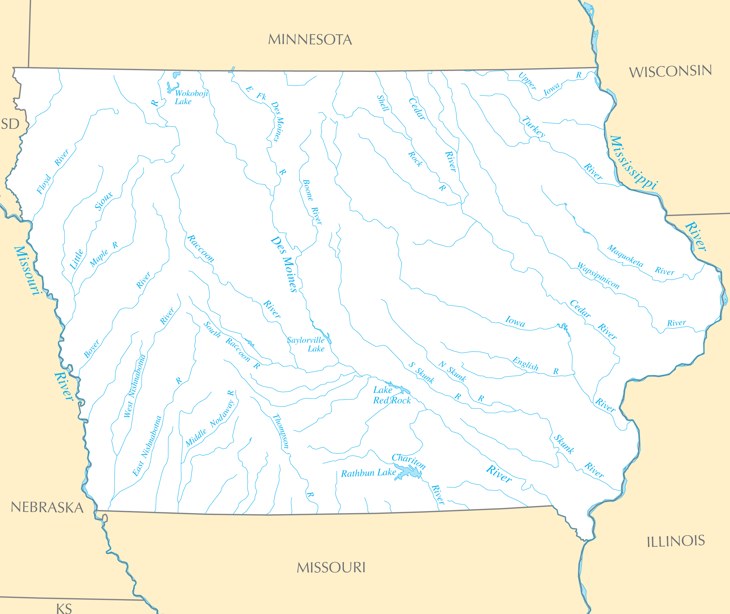
Click on the Iowa Rivers And Lakes to view it full screen. File Type: PNG, File size: 173623 bytes (169.55 KB), Map Dimensions: 2448px x 2058px ( colors)
More Iowa Static Maps
Area Code 319
920 x 599 - 28,703k - png
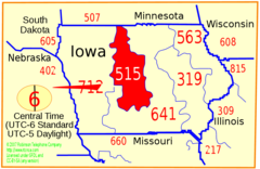
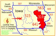
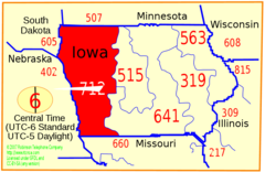
Area Code 515
920 x 599 - 28,796k - png
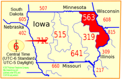
Area Code 563
920 x 599 - 28,325k - png
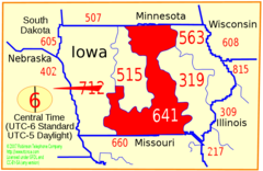
Area Code 641
920 x 599 - 28,484k - png
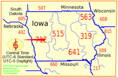
Area Code 712
920 x 599 - 28,261k - png
Area Code Ia
920 x 599 - 28,764k - png
I 129 (ia Ne) Map
920 x 536 - 11,864k - png
I 235 (ia) Map
920 x 536 - 8,785k - png
I 29 (ia) Map
920 x 536 - 8,831k - png
I 35 (ia) Map
920 x 536 - 8,888k - png
I 380 (ia) Map
920 x 536 - 8,778k - png
I 480 (ia Ne) Map
920 x 536 - 17,214k - png
I 680 (ia Ne) Map
920 x 536 - 16,207k - png
I 80 (ia) Map
920 x 536 - 8,708k - png
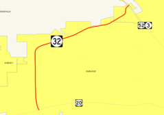
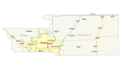
Iowa 32 Map
920 x 647 - 10,855k - png
Map of Usa Ia
920 x 598 - 29,495k - png
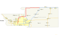
Omaha Council Bluffs Msa
920 x 322 - 19,611k - png
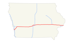
Us 20 Map (iowa)
920 x 536 - 20,892k - png
Iowa Regions Map
2500 x 1730 - 188,843k - png
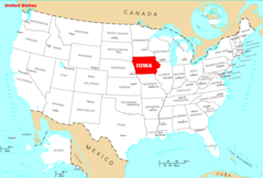
Usa Iowa Location Map
2000 x 1317 - 135,256k - png

Iowa Flag Map
1527 x 1003 - 51,573k - png
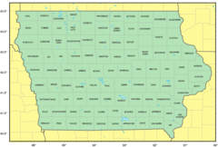
Counties Map of Iowa
1378 x 929 - 63,252k - png
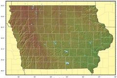
Iowa Relief Map
1293 x 861 - 170,494k - jpg
Where Is Iowa Located
1476 x 1002 - 135,559k - png
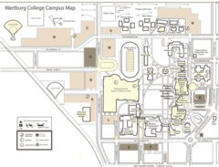
Wartburg College Campus Map
2000 x 1525 - 282,742k - png
Iowa Cities And Towns
2451 x 2055 - 173,303k - PNG
Iowa County Map
2454 x 2064 - 113,821k - PNG
Iowa Reference Map
2457 x 2073 - 1,101,831k - PNG
Iowa Rivers And Lakes
2448 x 2058 - 173,623k - PNG
Iowa Plant Hardiness Zone Map
2889 x 2121 - 272,868k - PNG