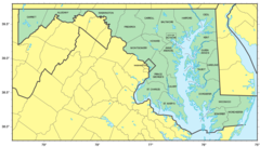
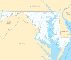
Maryland Rivers And Lakes
Maryland has several important river systems flowing through its landscape.
Potomac River
The Potomac River forms much of Maryland's southern border with Virginia and West Virginia. Facts about the Potomac River in Maryland:
- It flows over 380 miles from West Virginia to the Chesapeake Bay.
- The river passes through Maryland's capital city of Annapolis and near Cumberland, Maryland.
- The Potomac was an important transportation route in early American history.
- Today it provides drinking water and recreation like fishing, boating, and swimming.
Susquehanna River
The Susquehanna River flows from Pennsylvania south through central Maryland. Details about the Susquehanna River:
- It is over 440 miles long, forming from two main branches.
- The river flows through the cities of Havre de Grace and Port Deposit, Maryland.
- Its watershed covers over 27,000 square miles.
- It was a source of hydropower for early industry in Maryland.
Patuxent River
The Patuxent River begins in central Maryland and flows over 100 miles southeast to the Chesapeake Bay. Facts about the Patuxent River:
- It forms the eastern border of Howard County and western border of Prince George's County.
- Part of the river valley is protected by the Patuxent Research Refuge.
- The river flows through the planned community of Columbia, Maryland.
Notable Lakes in Maryland
Major lakes in Maryland include:
- Deep Creek Lake - The largest inland freshwater lake in Maryland.
- Conowingo Reservoir - Formed by damming the lower Susquehanna River.
- Loch Raven Reservoir - Provides drinking water supply for Baltimore.
- Liberty Reservoir - Helps provide water to Baltimore City.
Maryland's rivers and lakes are important ecological, cultural, and economic resources for the state.
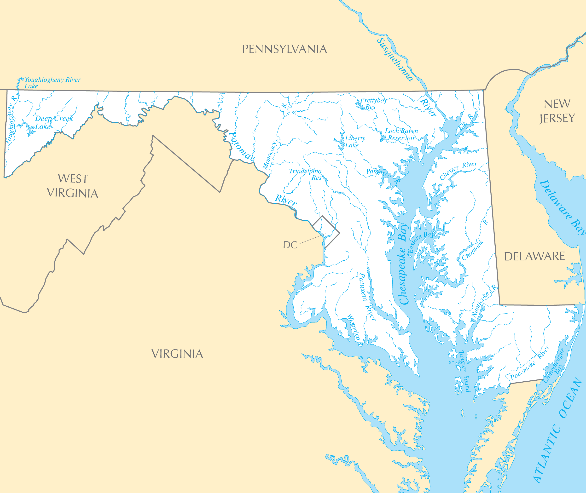
Click on the Maryland Rivers And Lakes to view it full screen. File Type: PNG, File size: 202391 bytes (197.65 KB), Map Dimensions: 2445px x 2058px ( colors)
More Maryland Static Maps
Map of Maryland Na 1
1200 x 927 - 128,453k - png
Maryland Regions Map
3008 x 1728 - 378,083k - png
Usa Maryland Location Map
2000 x 1273 - 148,163k - png

Maryland Flag Map
1492 x 796 - 24,019k - png
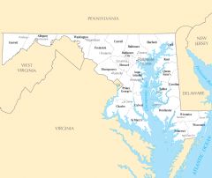
Counties Map of Maryland
1279 x 723 - 96,638k - png
Maryland Relief Map
1560 x 863 - 233,330k - jpg
Maryland Metrobus Map
2200 x 3569 - 1,762,064k - jpg
Where Is Maryland Located
1476 x 1002 - 136,056k - png
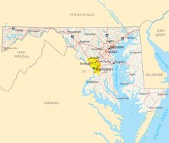
Maryland Cities And Towns
2451 x 2061 - 178,681k - PNG
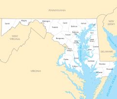
Maryland County Map
2454 x 2076 - 166,652k - PNG
Maryland Reference Map
2454 x 2064 - 449,806k - PNG
Maryland Rivers And Lakes
2445 x 2058 - 202,391k - PNG
District Of Columbia Plant Hardiness Zone Map
2901 x 2124 - 362,960k - PNG

Maryland Plant Hardiness Zone Map
2898 x 2133 - 364,057k - PNG