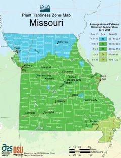
Missouri, US
Missouri: Located in the Midwestern United States, Missouri is known as the "Show Me State.
Missouri is a midwestern state bordered by Iowa, Illinois, Kentucky, Tennessee, Arkansas, Oklahoma, Kansas and Nebraska. It was part of the Louisiana Purchase and became a state in 1821.
Some key facts about Missouri:
- Capital: Jefferson City
- Population: Around 6.1 million
- Area: 69,715 square miles (21st largest state)
- Nickname: The Show Me State
Missouri has a diverse landscape encompassing the Ozark Mountains, forests, farmland, and major rivers. The Missouri River and Mississippi River border the state which sits at the convergence of the Midwest, South and Great Plains. Missouri has a humid continental climate.
Major metropolitan areas include Kansas City, St. Louis, Springfield and Columbia. The economy relies on manufacturing, biotech, finance and transportation. Prominent companies like Hallmark and Anheuser-Busch started in Missouri.
Culturally, Missouri combines southern hospitality with midwestern pragmatism. It has rich Black American heritage in Kansas City and St. Louis, which serves as the ”Gateway to the West." Missouri also has over 6,000 caves attracting spelunkers.
The state enjoys outdoor recreation at Lake of the Ozarks, Table Rock Lake and Mark Twain National Forest. Sports culture is huge with avid baseball, football and basketball fans.
In summary, Missouri’s blend of northern and southern roots and abundance of caves, lakes and forests make it a diverse Midwestern state with a vibrant cultural character.

State Snapshot
Missouri at a glance
Missouri currently has 330 quality-checked populated place pages and 115 county pages linked on MapSof.
Mapped cities & towns
330
These counts use a stricter populated-place filter so the main lists stay focused on real city and town pages.
County pages
115
Open related pagesLargest city
Kansas CityPopulation 495,327
Top linked places
Quick Facts about Missouri
| Population | 6,151,548 |
| Country | United States of America |
| Area | 181533 km2 |
| Water as percent of area | 1.39% |
| Land as percent of area | 98.61% |
| Continent | North America |
| Latitude & Longitude | 38.2503,-92.5005 |
| Legislative body | Missouri General Assembly |
| Named for | Missouri River |
| Altitude | 787 feet / 240 meters |
| Capital | Jefferson City |
| Establishment | August 10, 1821 (205 years ago) |
| Time Zone | America/Chicago, UTC−06:00, Central Time Zone |
| Local time | 04:57:19 (23rd September 2026) |
| Weather | 76℉ Mostly Sunny 7-days weather |

Geography
Missouri is located at 38°15'1"N 92°30'2"W (38.2503100, -92.5004600). It has 8 neighbors: Arkansas, Kansas, Oklahoma, Tennessee, Iowa, Illinois, Nebraska and Kentucky.
Missouri map
 icon to open full mode. View satellite images
The largest city of Missouri is Kansas City with a population of 495,327. Other cities include, St. Louis population 315,685, Columbia population 124,769, Independence population 116,774 and East Independence population 110,675. See all Missouri cities & populated places.
Largest Cities in Missouri (more)
Cities, Towns, Villages, Neighborhoods & Other Populated Places in Missouri.
| City Name | County | Population |
|---|---|---|
| Kansas City | Jackson | 495,327 |
| St. Louis | City of Saint Louis | 315,685 |
| Columbia | Boone | 124,769 |
| Independence | Jackson | 116,774 |
| East Independence | Jackson | 110,675 |
| Lee's Summit | Jackson | 101,467 |
| Castle Point | Saint Louis | 90,070 |
| O'Fallon | Saint Charles | 89,769 |
| Saint Joseph | Buchanan | 74,074 |
| Saint Charles | Saint Charles | 71,761 |
| Saint Peters | Saint Charles | 58,043 |
| Blue Springs | Jackson | 56,547 |
| Joplin | Jasper | 50,956 |
| Florissant | Saint Louis | 50,795 |
| Chesterfield | Saint Louis | 47,570 |
| Wentzville | Saint Charles | 43,109 |
Show more Missouri cities and populated places
Official website of Missouri
Official Website- Cedar County
- Cass County
- Lewis County
- Linn County
- Putnam County
- Clinton County
- Ray County
- Boone County
- Cooper County
- Livingston County
- Ralls County
- Benton County
- Carter County
- Osage County
- Warren County
- Holt County
- Shannon County
- Audrain County
- Adair County
- Howard County
- St. Francois County
- Bollinger County
- Platte County
- Mercer County
- Greene County
- Pettis County
- St. Louis County
- Moniteau County
- DeKalb County
- Gasconade County
- Morgan County
- Cape Girardeau County
- Gentry County
- Ste. Genevieve County
- Monroe County
- Cole County
- Madison County
- Barton County
- Randolph County
- Shelby County
- Stoddard County
- Bates County
- Montgomery County
- Pemiscot County
- Jefferson County
- Macon County
- Dunklin County
- Polk County
- Pike County
- Johnson County
- Washington County
- Ripley County
- Clay County
- Miller County
- Mississippi County
- Saline County
- Maries County
- Hickory County
- Taney County
- Laclede County
- Scotland County
- Iron County
- McDonald County
- Jackson County
- Webster County
- Butler County
- Perry County
- Howell County
- Wright County
- Stone County
- Carroll County
- Chariton County
- Caldwell County
- Christian County
- Douglas County
- Crawford County
- Dallas County
- Pulaski County
- Reynolds County
- Andrew County
- Lafayette County
- Scott County
- Nodaway County
- Callaway County
- Dent County
- Newton County
- Daviess County
- Ozark County
- Franklin County
- Texas County
- Atchison County
- Worth County
- Phelps County
- St. Clair County
- Wayne County
- Schuyler County
- Marion County
- Harrison County
- St. Louis
- Oregon County
- New Madrid County
- Buchanan County
- Lawrence County
- Knox County
- St. Charles County
- Barry County
- Sullivan County
- Clark County
- Lincoln County
- Grundy County
- Jasper County
- Dade County
- Camden County
- Vernon County
- Henry County
Demographics
| Year | Population | % Change | Method |
|---|---|---|---|
| 1910 | 3,293,335 | - | census |
| 1920 | 3,404,055 | 3.36% | census |
| 1930 | 3,629,367 | 6.62% | census |
| 1940 | 3,784,664 | 4.28% | census |
| 1950 | 3,954,653 | 4.49% | census |
| 1960 | 4,319,813 | 9.23% | census |
| 1970 | 4,676,501 | 8.26% | census |
| 1980 | 4,916,686 | 5.14% | census |
| 1990 | 5,117,073 | 4.08% | census |
| 2000 | 5,595,211 | 9.34% | census |
| 2010 | 5,988,927 | 7.04% | census |
| 2011 | 6,010,275 | 0.36% | estimation process |
| 2012 | 6,024,367 | 0.23% | estimation process |
| 2013 | 6,040,715 | 0.27% | estimation process |
| 2014 | 6,056,202 | 0.26% | estimation process |
| 2015 | 6,071,732 | 0.26% | estimation process |
| 2016 | 6,087,135 | 0.25% | estimation process |
| 2017 | 6,106,670 | 0.32% | estimation process |
| 2018 | 6,121,623 | 0.24% | estimation process |
| 2019 | 6,137,428 | 0.26% | estimation process |
| 2020 | 6,151,548 | 0.23% | estimation process |
People born in Missouri (199)
People born in Missouri, including Confederate States Army brigadier general William Hugh Young, computer scientist Guy L. Steele, businessman Howard R. Hughes, Sr., .
More notable people
- Elmer Keith (American rancher) he was born in 08/03/1899
- Marlin Perkins (American zoologist) he was born in 28/03/1905
- Cal Hubbard (American football player and coach, baseball umpire (1900-1977)) he was born in 31/10/1900
- Charlie Creath (American musician) he was born in 30/12/1890
- Leroy Van Dyke (American singer) he was born in 04/10/1929
- Casey Jones (American railroad engineer) he was born in 14/03/1863
- Leith Stevens (American music composer and conductor of radio and film scores (1909-1970)) he was born in 13/09/1909
- Iris Yamashita (American screenwriter) she was born in 01/04/1965
- Ferlin Husky (American country music singer) he was born in 03/12/1927
- James O. McKinsey (founder of McKinsey & Company) he was born in 04/06/1889
- William C. Mellor (American cinematographer) he was born in 29/06/1903
- William Walden Rubey (American geologist) he was born in 19/12/1898
- Kenneth Lay (former chairman and CEO of Enron Corporation) he was born in 15/04/1942
- Kasey Rogers (American actress (1925-2006)) she was born in 15/12/1925
- Ruth Osburn (American discus thrower) she was born in 24/04/1912
- Arthur E. Arling (Hollywood cameraman/cinematographer) he was born in 19/09/1906
- Hallie Champlin (US tennis player) she was born in 01/10/1872
- William Gillock (American composer) he was born in 01/07/1917
Missouri Counties (more)
Saint Louis County

county in Minnesota, United States.
Jackson County

county in Oregon, United States.
Saint Charles County

county in Missouri, United States.
| County Name | Population |
|---|---|
| Saint Louis County | 994,020 |
| Jackson County | 705,925 |
| Saint Charles County | 406,204 |
| Greene County | 294,997 |
| Clay County | 253,463 |
| Jefferson County | 226,543 |
| Boone County | 182,991 |
| Jasper County | 121,648 |
| Cass County | 106,806 |
| Platte County | 106,532 |
| Franklin County | 104,469 |
| Christian County | 90,655 |
| Buchanan County | 86,530 |
| Cape Girardeau County | 79,512 |
| Cole County | 76,191 |
| Saint Francois County | 66,485 |
Show more Missouri counties
Map & Images (more maps)
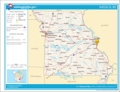
Map of Missouri Na 1
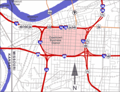
Alphamap
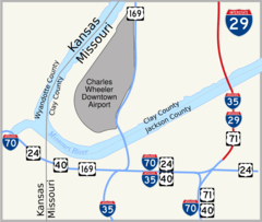
I 29 Kansas City 1
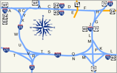
Kc Alphabet
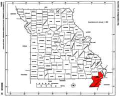
Map of Missouri Highlighting Bootheel
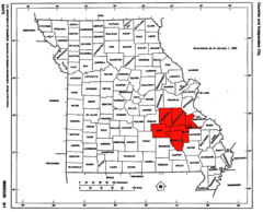
Map of Missouri Highlighting the Lead Belt
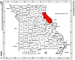
Map of Missouri Highlighting the Lincoln Hills
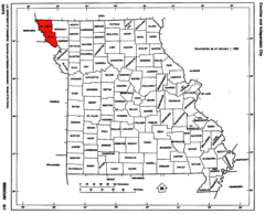
Map of Missouri Highlighting the Loess Hills
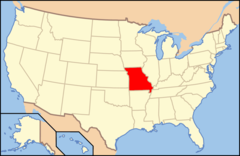
Map of Usa Mo
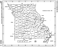
Missouri Counties
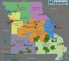
Missouri Regions Map
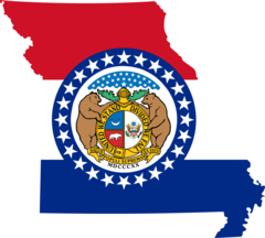
Missouri Flag Map
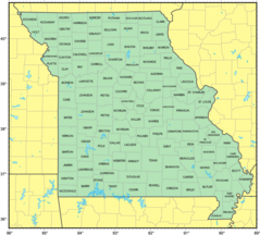
Counties Map of Missouri
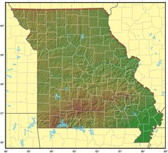
Missouri Relief Map
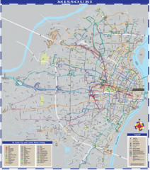
Missouri Transport Map
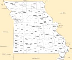
Missouri Cities And Towns
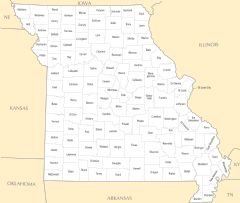
Missouri County Map
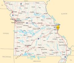
Missouri Reference Map
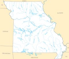
Missouri Rivers And Lakes