
Map & Images
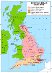
Britain 802
1241 x 1755 - 383,411k -
png
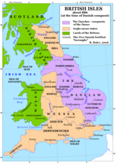
Britain 886
1241 x 1755 - 397,563k -
png
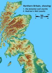
Britain Northern Walls
1484 x 2093 - 371,581k -
jpg
Britania 10dc
463 x 578 - 28,761k -
png
British Isles Isle of Man Svg
343 x 600 - 13,975k -
png
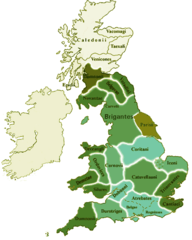
British Kingdoms C 800
718 x 1164 - 306,926k -
gif
British Seventh Century Kingdoms
526 x 880 - 169,492k -
gif
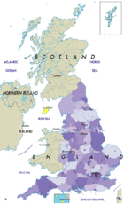
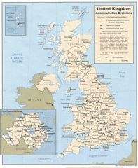
Counties In Uk
1042 x 1670 - 111,306k -
gif
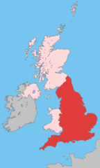
England
2769 x 3553 - 936,365k -
jpg
England Large Map
1200 x 1540 - 620,120k -
png
England Map
760 x 1185 - 118,397k -
jpg
England Map 2
465 x 650 - 34,449k -
jpg
Europe Location England
1600 x 1200 - 121,832k -
png
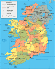
Ireland
684 x 788 - 44,987k -
gif
Ireland 1
1844 x 2450 - 256,211k -
jpg
Ireland 2
813 x 998 - 112,557k -
gif
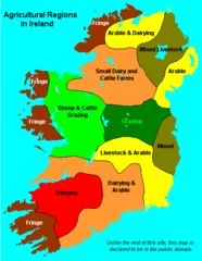
Ireland Maps Island Agriculture
429 x 553 - 14,313k -
gif
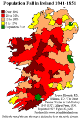
Ireland Population Change 1841 1851
358 x 531 - 11,234k -
png
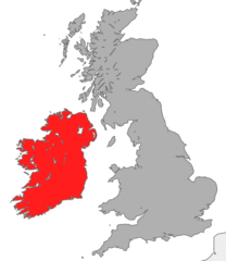
Ireland Uk
1266 x 1167 - 641,699k -
gif
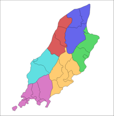
Isle of Man
1091 x 996 - 61,189k -
gif
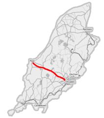
Isle of Man A1 Road
436 x 491 - 22,353k -
png
Isle of Man Cities Villages
690 x 815 - 7,661k -
png
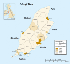
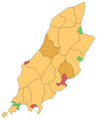
Isle of Man Parishes By Sheading
834 x 856 - 8,732k -
png
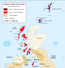
Kingdom of Mann And the Isl
914 x 966 - 93,000k -
gif
Map England
322 x 550 - 62,394k -
gif
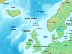
Map of Faroe Islands In Europe
1433 x 1068 - 343,228k -
png
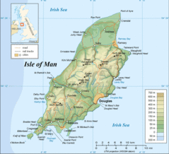
Map of Isle of Man
1564 x 1424 - 353,558k -
gif
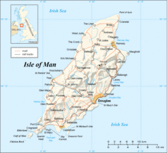
Map of Isle of Man 2
1564 x 1436 - 310,005k -
gif
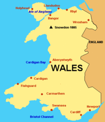
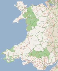
Map of Wales Gif
379 x 441 - 6,794k -
GIF
Map of Wales
760 x 1185 - 122,344k -
jpg
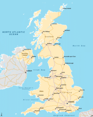
Map Uk
850 x 1013 - 95,745k -
gif
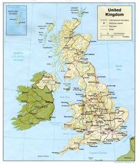
Map United Kingdom
1379 x 1956 - 234,736k -
jpg
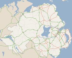
Nireland
2012 x 1630 - 238,092k -
jpg
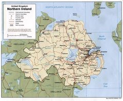
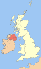
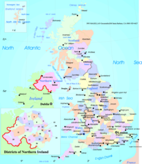
Northern Ireland
1252 x 1032 - 224,219k -
jpg
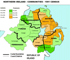
Northern Irland Religions 1991
685 x 585 - 43,542k -
png
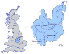
River Trent
559 x 437 - 17,473k -
png
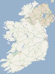
Routes Irlandaises
594 x 750 - 86,884k -
gif
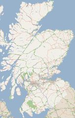
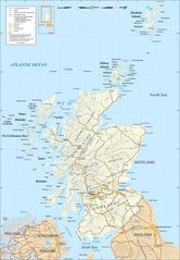
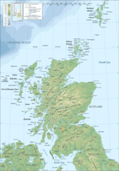
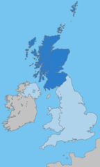
Scotland
1701 x 2684 - 416,599k -
jpg
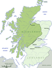
Scotland Highlands Lowlands
584 x 768 - 50,238k -
png
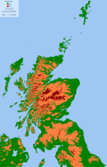
Scotland Land Use By Height
1597 x 2488 - 103,529k -
png
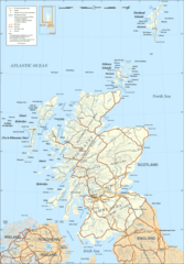
Scotland Map
1800 x 2588 - 506,693k -
jpg
Scotland Map 1
417 x 599 - 54,525k -
png
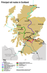
Scotland Rail Map
1024 x 1563 - 96,389k -
png
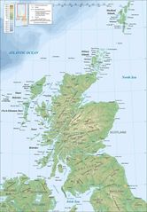
Scotland Topographic Map
1800 x 2588 - 378,570k -
jpg
Scotland Topographic Map 1
417 x 599 - 54,199k -
png
Topographic Map of the Uk
1750 x 2545 - 421,418k -
jpg
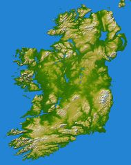
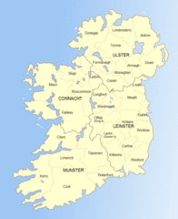
Topography Ireland
1800 x 2278 - 456,774k -
jpg
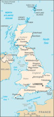
Uk
312 x 676 - 22,502k -
gif
Uk Ad
1000 x 1216 - 316,958k -
gif
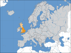
Uk Europe Location
1600 x 1200 - 168,818k -
png
Uk Map
1200 x 1505 - 374,193k -
png
Uk Map England
643 x 1075 - 24,499k -
png
Uk Map Home Nation England
643 x 1075 - 24,506k -
png
Uk Map Home Nation Scotland
643 x 1075 - 24,407k -
png
Uk Map Northern Ireland
643 x 1075 - 24,436k -
png
Uk Outline Map
600 x 800 - 11,237k -
png
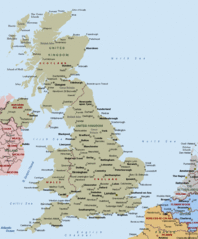
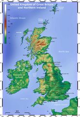
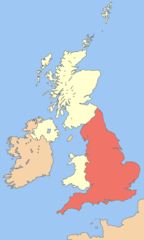
United Kingdom
910 x 1100 - 48,702k -
gif
United Kingdom 1
1032 x 1216 - 209,026k -
jpg
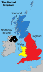
United Kingdom Labelled Map
643 x 1075 - 28,933k -
png
Wales
2052 x 2500 - 435,102k -
jpg
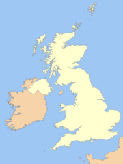
British Irish Isles
1134 x 1982 - 117,287k -
png
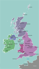
Uk Get In Map
1113 x 2040 - 130,145k -
png
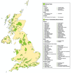
Uk Parks
1218 x 1256 - 136,090k -
png
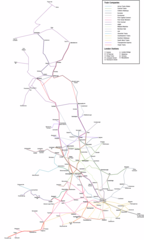
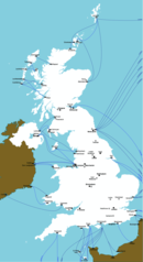
Uk Rail Map
900 x 1500 - 76,485k -
png
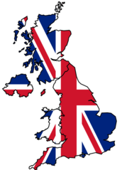
United Kingdom Flag Map
432 x 600 - 22,389k -
png
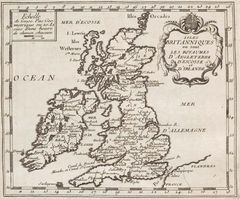
United Kingdom Historical Map
875 x 726 - 133,468k -
jpg
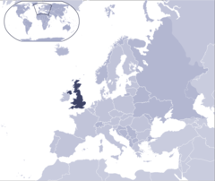
Where Is United Kingdom Located
1000 x 841 - 67,550k -
png
The British Empire
2753 x 1400 - 177,480k -
png
United Kingdom Counties
1188 x 1368 - 161,065k -
png
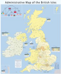
Administrative Geography Of The British Isles With Postcode Areas
2500 x 3004 - 1,137,019k -
JPG
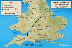
Roman Conquest of Britain Map: Coin-Minting Tribes and Campaigns (43–47 AD)
1536 x 1024 - 2,783,502k -
png
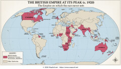
The British Empire at its Peak 1920 Map
1408 x 808 - 847,534k -
jpg
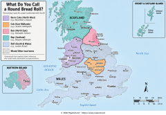
Bap, Cob, Barm or Bun? The UK Bread Roll Dialect Map
1536 x 1064 - 2,262,635k -
png
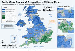
Greggs Line vs Waitrose Zone: Mapping the UK North–South Retail Divide
1536 x 1064 - 2,309,214k -
png
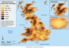
Walking Distance to the Nearest Pub Across Great Britain
1536 x 1064 - 2,601,731k -
png