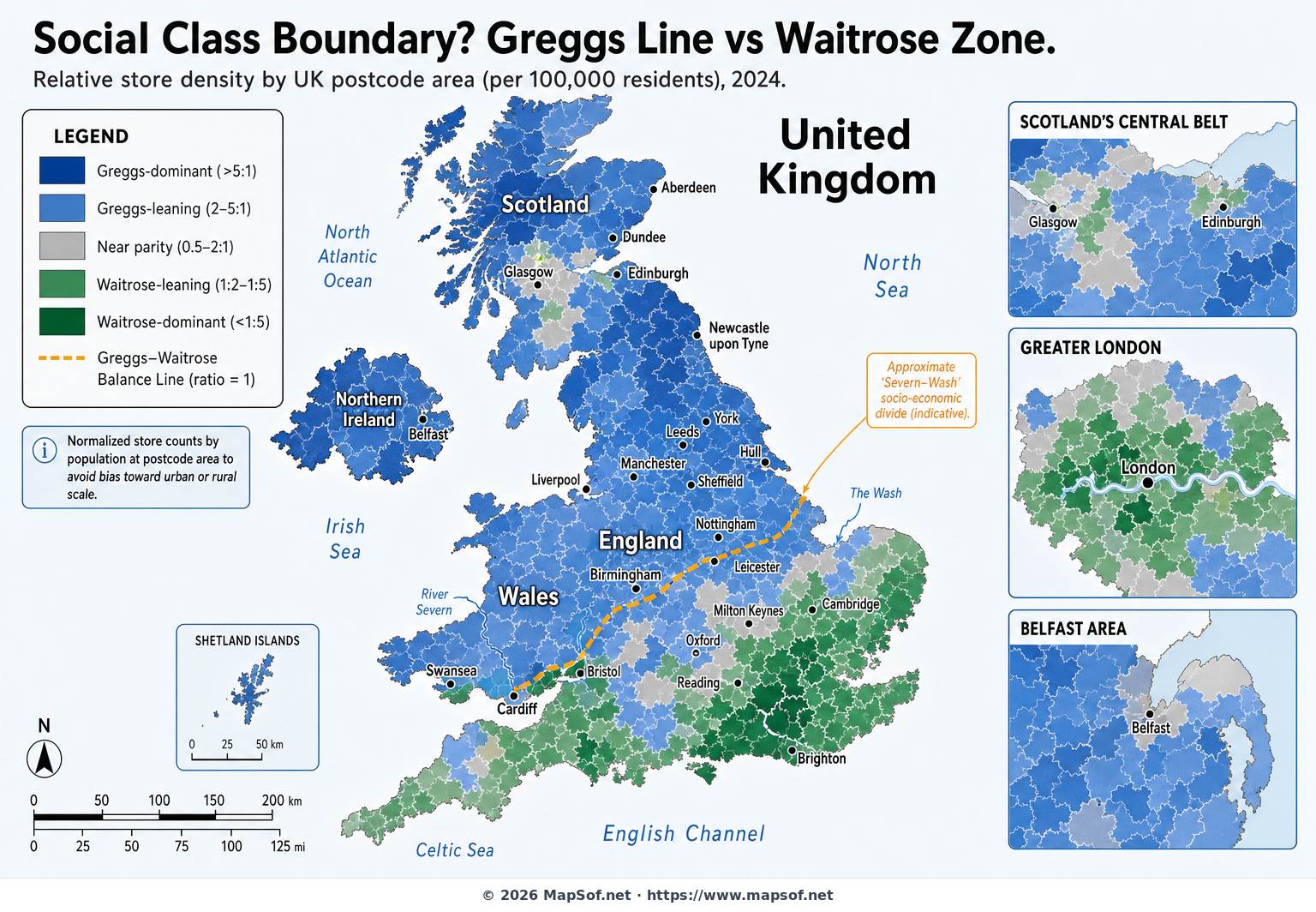
Greggs Line vs Waitrose Zone: Mapping the UK North–South Retail Divide
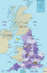
This map explores a playful but telling facet of the United Kingdom’s enduring North–South divide by comparing the relative density of two emblematic retail chains: Greggs and Waitrose. Aggregated by postcode area and normalized per 100,000 residents, the visualization contrasts Greggs’ deep blue presence—most intense across the North East, North West, Yorkshire and the Humber, the urban Midlands, Wales, and much of Scotland—with the rich green of Waitrose concentrations that stand out in London, the South East, and select commuter belts and affluent towns.
To underscore the cultural narrative, a gold dashed “Greggs–Waitrose Balance Line” (ratio = 1) is drawn, broadly echoing the classic Severn–Wash concept often cited in socio-economic discussions. Insets for Greater London, Scotland’s Central Belt, and Belfast provide additional clarity where patterns are dense or distinctive. While the map offers a vivid snapshot of consumer geography and class-coded retail identities, it also notes important nuances: Northern Ireland currently lacks Waitrose stores, and both chains operate within London, albeit with different spatial intensities. The result is a clear, engaging visual that turns a lighthearted rivalry into a geographic lens on regional differences.
More United Kingdom of Great Britain and Northern Ireland Static Maps
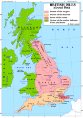
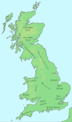
Britain 802
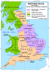
Britain 886
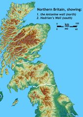
Britain Northern Walls
Britania 10dc
British Isles Isle of Man Svg
British Kingdoms C 800
British Seventh Century Kingdoms
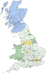
Counties In Uk
England
England Large Map
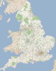
England Map
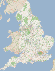
England Map 2
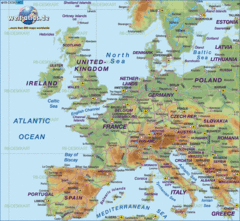
Europe Location England
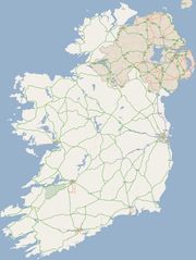
Ireland
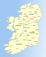
Ireland 1
Ireland 2
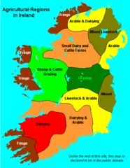
Ireland Maps Island Agriculture
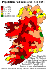
Ireland Population Change 1841 1851
Ireland Uk
Isle of Man
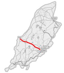
Isle of Man A1 Road
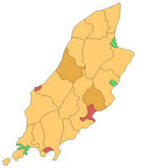
Isle of Man Cities Villages
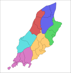
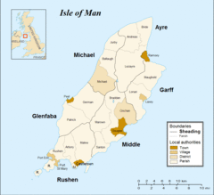
Isle of Man Parishes By Sheading
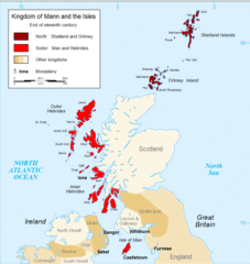
Kingdom of Mann And the Isl
Map England
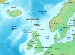
Map of Faroe Islands In Europe
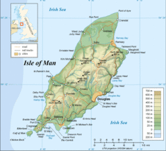
Map of Isle of Man
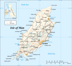
Map of Isle of Man 2
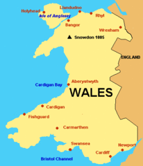
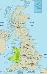
Map of Wales Gif