Roman Conquest of Britain Map: Coin-Minting Tribes and Campaigns (43–47 AD)
Pre-Roman British Tribes and Coin Production
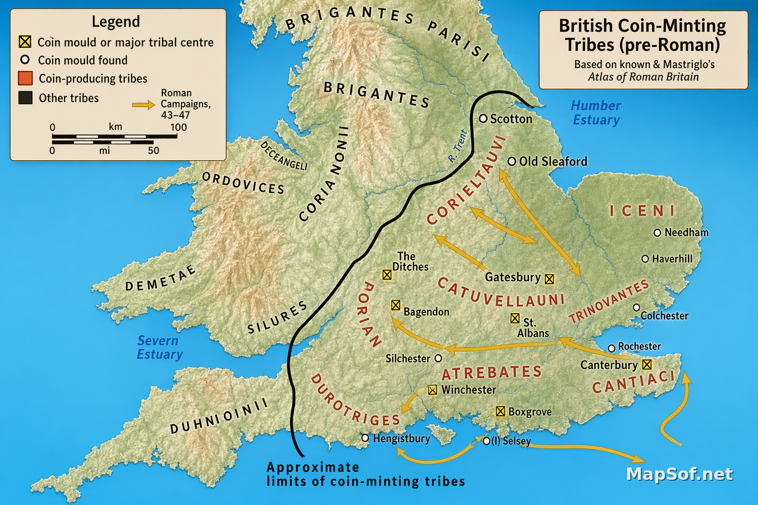
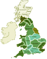
This professional reference map illustrates the distribution of southern and central British tribes on the eve of the Roman conquest, distinguishing Coin-producing tribes in light green with red labels from Other tribes shown in tan/beige. It highlights the Iceni, Catuvellauni, Trinovantes, Atrebates, Dobunni, Corieltauvi, and neighboring groups including BRIGANTES, PARISI, CORNOVII, ORDOVICES, DECEANGLI, DEMETAE, SILURES, DUMNONII, DUROTRIGES, REGNI, and CANTIACI. A thick black line marks the Approximate limits of coin-minting tribes, while water bodies such as the River Trent, Humber Estuary, and Severn Estuary are shown in blue. The legend explains yellow arrows for Roman campaigns, 43-47, yellow squares with an X for Coin mould at major tribal centre, and smaller yellow squares for Coin mould found, with dual scales (0, 100, 200 km; 0, 50, 100 mi). Based on Jones & Mattingly's Atlas of Roman Britain, the map employs clear boundaries, precise labels, and a clean, modern cartographic style.
Routes of Conquest and Archaeological Findspots
Yellow arrows trace the early Roman operations of 43–47 AD advancing from the southeast through key tribal territories, linking coastal entry points to centres such as Colchester (Camulodunum), St. Albans (Verulamium), Silchester (Calleva), Canterbury, Winchester, and Rochester, before pushing west toward the Silures and north toward the Trent and Humber. The distribution of coin moulds—at major centres and other findspots—includes Bagendon, Old Sleaford, Scotton, Haverhill, Needham, Gatesbury, Boxgrove, Hengistbury, the uncertain (?) Selsey, and The Ditches. By juxtaposing tribal geographies—BRIGANTES to REGNI—with the extent of monetized polities and the Roman advance, this map offers a clear visual framework for understanding economic networks, political influence, and the strategic path of conquest across southern and central Britain.
More United Kingdom of Great Britain and Northern Ireland Static Maps
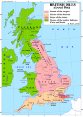
Britain 802
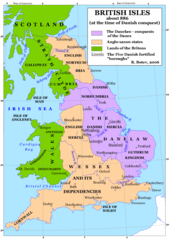
Britain 886
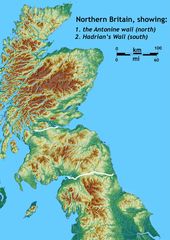
Britain Northern Walls
Britania 10dc
British Isles Isle of Man Svg
British Kingdoms C 800
British Seventh Century Kingdoms
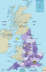
Counties In Uk
England
England Large Map
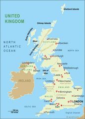
England Map
England Map 2
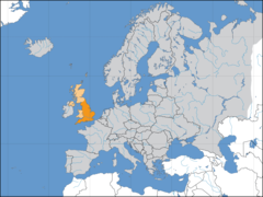
Europe Location England
Ireland
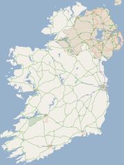
Ireland 1
Ireland 2
Ireland Maps Island Agriculture
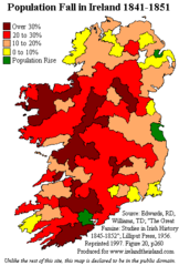
Ireland Population Change 1841 1851
Ireland Uk
Isle of Man
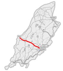
Isle of Man A1 Road
Isle of Man Cities Villages
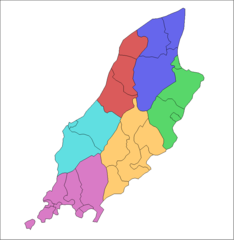
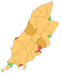
Isle of Man Parishes By Sheading
Kingdom of Mann And the Isl
Map England
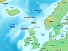
Map of Faroe Islands In Europe
Map of Isle of Man
Map of Isle of Man 2
Map of Wales Gif