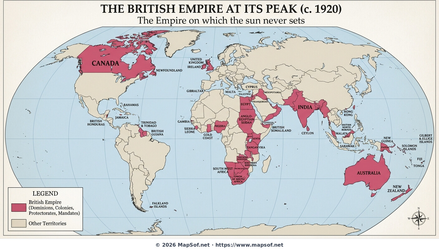
The British Empire at its Peak 1920 Map
The Zenith of Global Power
This map illustrates the British Empire around 1920, representing its maximum historical extent. Following World War I and the acquisition of League of Nations mandates, the empire controlled approximately 25% of the Earth's land surface. This immense geographical spread gave rise to the famous phrase depicted on the map: 'The Empire on which the sun never sets'.
Territories and Dominions
Following traditional cartography, all British territories are marked in red or pink. The map differentiates between various political statuses, showing self-governing Dominions like Canada, Australia, and South Africa, alongside vast colonies and protectorates. Major territories like India, Egypt, Nigeria, and Malaya are clearly labeled, visualizing the scale of Britain's imperial reach during the interwar period.
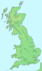
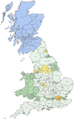
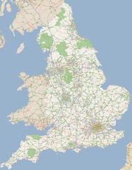
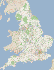
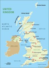
More United Kingdom of Great Britain and Northern Ireland Static Maps
Britain 802
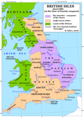
Britain 886
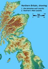
Britain Northern Walls
Britania 10dc
British Isles Isle of Man Svg
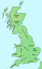
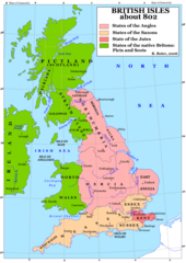
British Kingdoms C 800
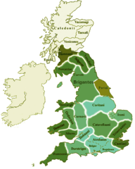
British Seventh Century Kingdoms
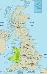
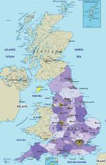
Counties In Uk
England
England Large Map
England Map
England Map 2
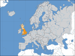
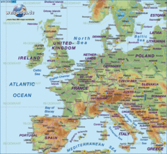
Europe Location England
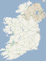
Ireland
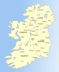
Ireland 1
Ireland 2
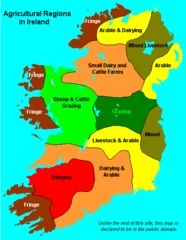
Ireland Maps Island Agriculture
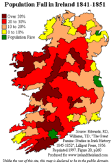
Ireland Population Change 1841 1851
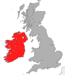
Ireland Uk
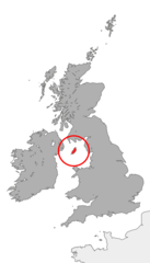
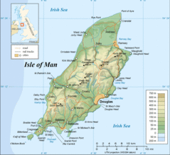
Isle of Man
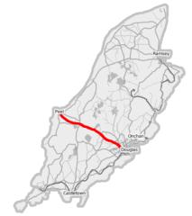
Isle of Man A1 Road
Isle of Man Cities Villages
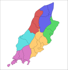
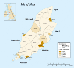
Isle of Man Parishes By Sheading
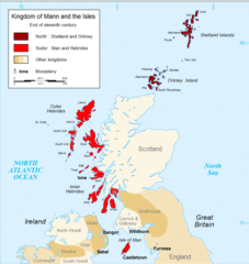
Kingdom of Mann And the Isl
Map England
Map of Faroe Islands In Europe
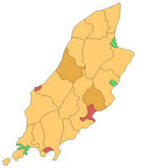
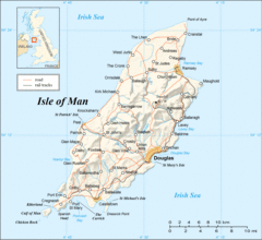
Map of Isle of Man
Map of Isle of Man 2
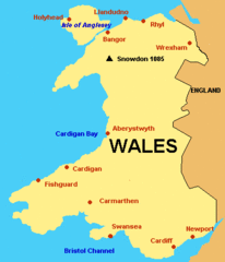
Map of Wales Gif