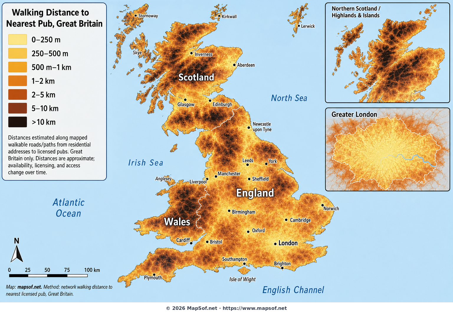
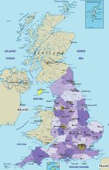
Walking Distance to the Nearest Pub Across Great Britain
This map visualizes how far people in Great Britain typically have to walk to reach the nearest licensed pub. Using a beer-inspired color ramp—from soft pilsner yellow for very short walks to stout-like near-black for long treks—the surface highlights the intense pub accessibility of major cities such as London, Manchester, Glasgow, and Cardiff, while revealing the long-distance gaps across remote uplands and islands. By focusing on walking distance along streets and public rights of way from residential addresses, it captures a practical, everyday sense of access rather than abstract straight-line proximity.
What stands out: dense urban belts glow in light tones, indicating many addresses within a few hundred meters of a pub; meanwhile, parts of the Scottish Highlands, mid-Wales, and moorland regions deepen to darker shades where pubs are few and settlements sparse. Insets zoom into Greater London and the Highlands & Islands to show both extremes clearly. The map covers Great Britain (England, Scotland, and Wales) only, reflecting Ordnance Survey coverage, and excludes Northern Ireland and the Crown Dependencies. A clear legend and understated base map make the pattern legible and engaging—ideal for testing the enduring pub-distance myth and appreciating how settlement patterns shape everyday social life.
More United Kingdom of Great Britain and Northern Ireland Static Maps
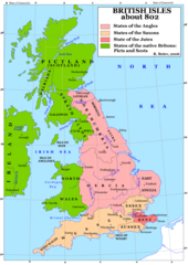
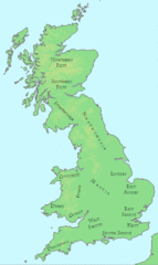
Britain 802
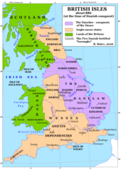
Britain 886
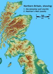
Britain Northern Walls
Britania 10dc
British Isles Isle of Man Svg
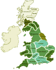
British Kingdoms C 800
British Seventh Century Kingdoms
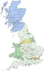
Counties In Uk
England
England Large Map
England Map
England Map 2
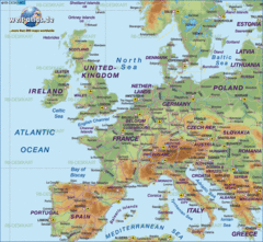
Europe Location England
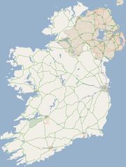
Ireland
Ireland 1
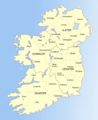
Ireland 2
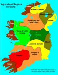
Ireland Maps Island Agriculture
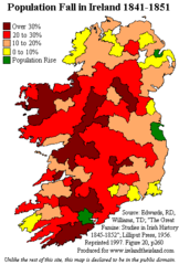
Ireland Population Change 1841 1851
Ireland Uk
Isle of Man
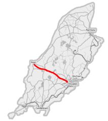
Isle of Man A1 Road
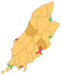
Isle of Man Cities Villages
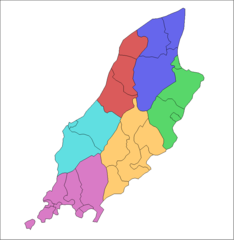
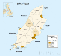
Isle of Man Parishes By Sheading
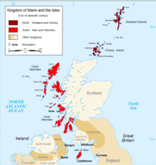
Kingdom of Mann And the Isl
Map England
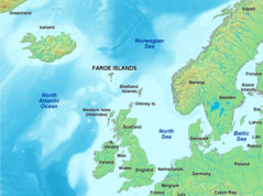
Map of Faroe Islands In Europe
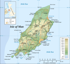
Map of Isle of Man
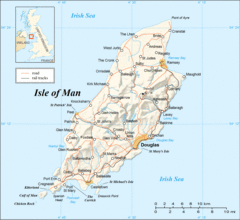
Map of Isle of Man 2
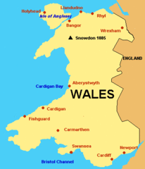
Map of Wales Gif