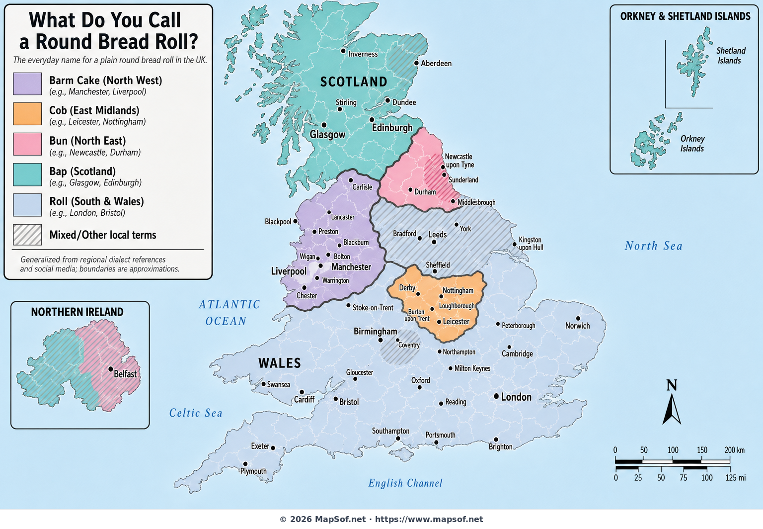
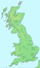
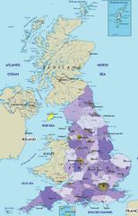
Bap, Cob, Barm or Bun? The UK Bread Roll Dialect Map
The Great British Bread Roll Debate, Mapped
This map visualizes one of the UK’s most passionately defended pieces of everyday language: what people call a plain round bread roll. From “barm cake” in the North West to “cob” in the East Midlands, “bun” in the North East, “bap” across Scotland, and the catch‑all “roll” through much of the South and Wales, the country divides into distinct dialect zones with surprisingly sharp cultural frontiers.
Built from regional dialect references and aggregated social chatter, the visualization highlights broad patterns rather than town‑by‑town precision. A hatched overlay marks places where local specialties or alternate terms are common—think “breadcake” in Yorkshire, “batch” around Coventry, “stottie” on Tyneside, and “rowie” in Aberdeen. The result is a playful yet revealing look at how language, identity, and food culture intertwine across the United Kingdom.
Use this map to explore where your word reigns, start a friendly debate, or plan a culinary dialect road trip. Just remember: for many Britons, this isn’t merely terminology—it’s tradition.
More United Kingdom of Great Britain and Northern Ireland Static Maps
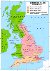
Britain 802
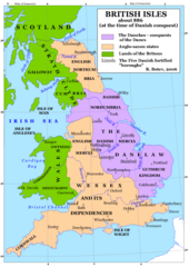
Britain 886
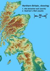
Britain Northern Walls
Britania 10dc
British Isles Isle of Man Svg
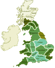
British Kingdoms C 800
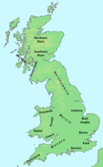
British Seventh Century Kingdoms
Counties In Uk
England
England Large Map
England Map
England Map 2
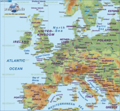
Europe Location England
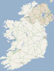
Ireland
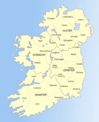
Ireland 1
Ireland 2
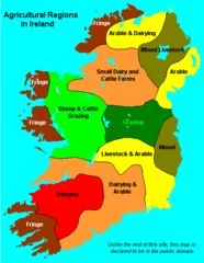
Ireland Maps Island Agriculture
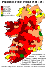
Ireland Population Change 1841 1851
Ireland Uk
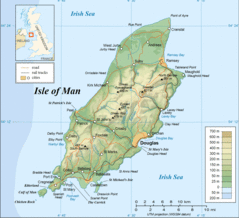
Isle of Man
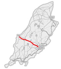
Isle of Man A1 Road
Isle of Man Cities Villages
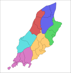
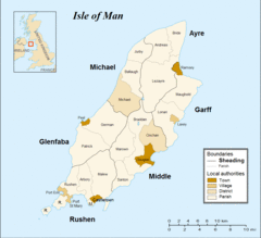
Isle of Man Parishes By Sheading
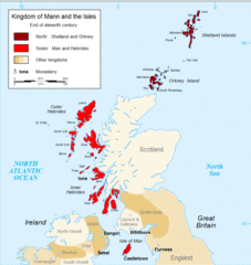
Kingdom of Mann And the Isl
Map England
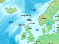
Map of Faroe Islands In Europe
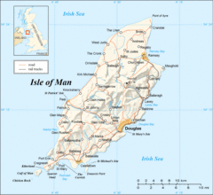
Map of Isle of Man
Map of Isle of Man 2
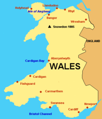
Map of Wales Gif