State of Madhya Pradesh (Madhya Pradesh), Madhya Pradesh
State of Madhya Pradesh:
About
State Snapshot
Madhya Pradesh at a glance
Madhya Pradesh currently has 135 quality-checked populated place pages and 20 county pages linked on MapSof.
Mapped cities & towns
135
These counts use a stricter populated-place filter so the main lists stay focused on real city and town pages.
County pages
20
Open related pagesLargest city
IndorePopulation 1,994,397
Top linked places
Quick Facts about Madhya Pradesh
| State | Madhya Pradesh (India) |
| Latitude & Longitude | 23.5000,78.5000 |
| Time Zone | Asia/Kolkata |
| Local time | 13:15:28 (17th July 2026) |
Geography
Madhya Pradesh is located at 23°30'0"N 78°30'0"E (23.5000000, 78.5000000).
State of Madhya Pradesh map
The largest city of Madhya Pradesh is Indore with a population of 1,994,397. Other cities include, Jabalpur population 1,030,168, Rewa population 208,461, Burhānpur population 202,695 and Guna population 153,689. See all Madhya Pradesh cities & populated places.
Map & Images (more maps)
Blank Map of Madhya Pradesh
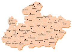
Cities Map of Madhya Pradesh
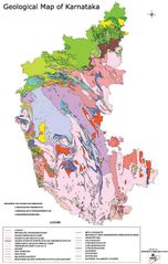
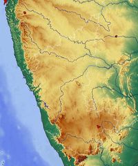
Geological Map of Karnataka
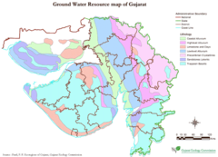
Hydrographic Map of Gujarat
Location Map of Ludhiana
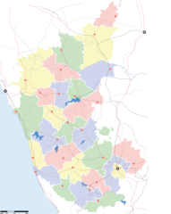
Locator And Cities Map of Karnataka
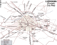
Map of Ludhiana
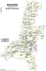
Road Map of Kolkata
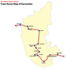
Topographic Map of Karnataka