Road Map of Kolkata
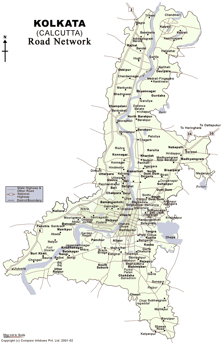
Click on the Road Map of Kolkata to view it full screen. File Type: png, File size: 74593 bytes (72.84 KB), Map Dimensions: 757px x 1169px (256 colors)
More Madhya Pradesh Static Maps

Blank Map of Madhya Pradesh
800 x 578 - 17,618k - png
Cities Map of Madhya Pradesh
800 x 578 - 52,292k - jpg
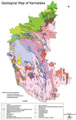
Geological Map of Karnataka
600 x 944 - 78,747k - jpg
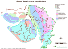
Hydrographic Map of Gujarat
700 x 506 - 46,943k - png
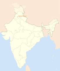
Location Map of Ludhiana
1714 x 2000 - 89,973k - png
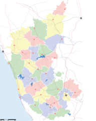
Locator And Cities Map of Karnataka
1133 x 1423 - 86,510k - png
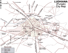
Map of Ludhiana
700 x 550 - 51,320k - png
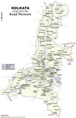
Road Map of Kolkata
757 x 1169 - 74,593k - png
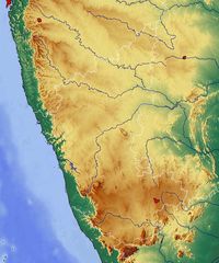
Topographic Map of Karnataka
650 x 781 - 88,388k - jpg
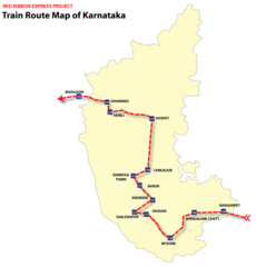
Train Map Karnataka
1100 x 1146 - 44,807k - png