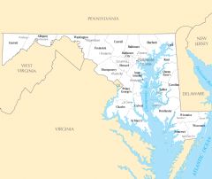
Maryland County Map
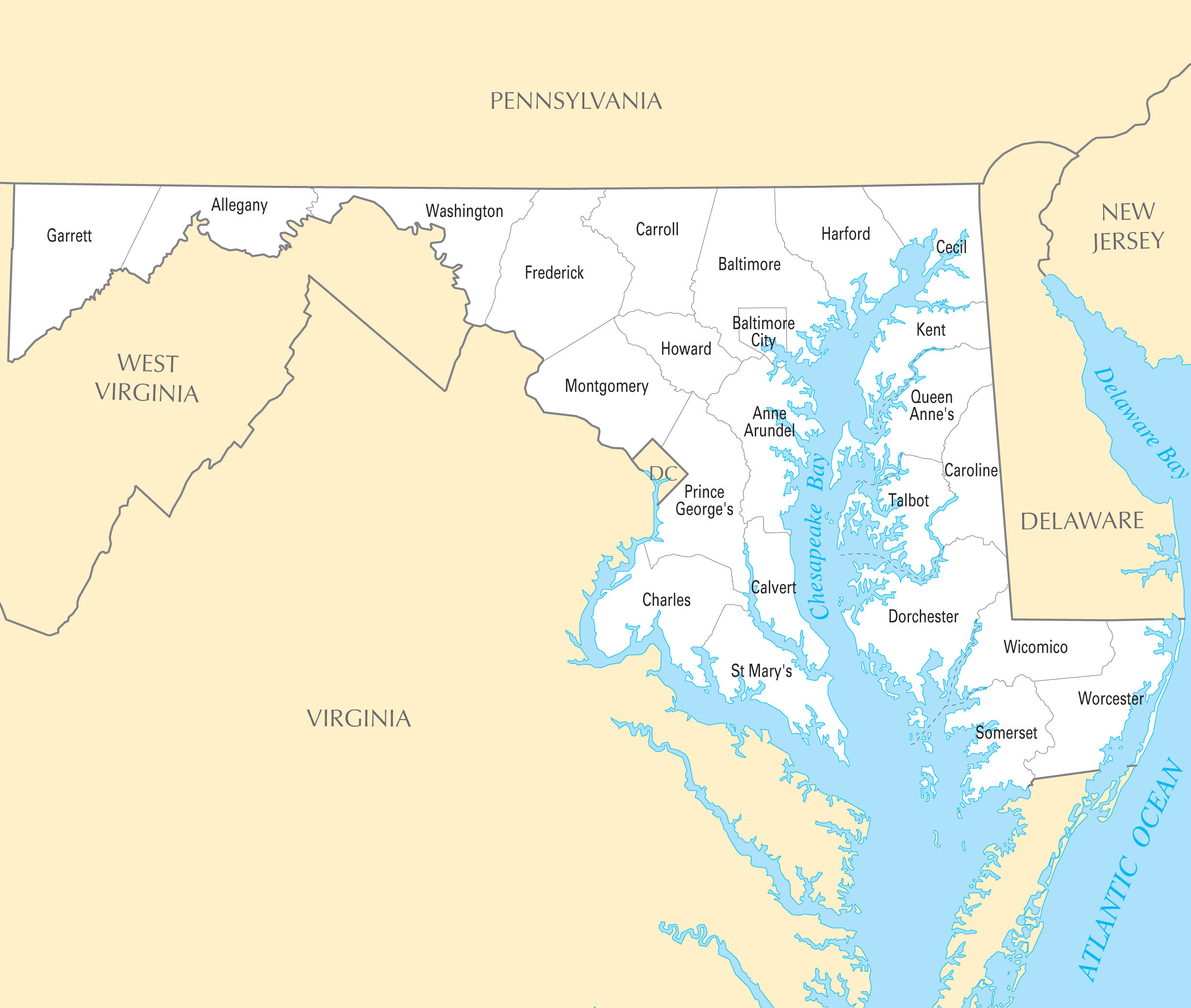
Click on the Maryland County Map to view it full screen. File Type: PNG, File size: 166652 bytes (162.75 KB), Map Dimensions: 2454px x 2076px ( colors)
More Maryland Static Maps
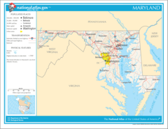
Map of Maryland Na 1
1200 x 927 - 128,453k - png
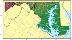
Maryland Regions Map
3008 x 1728 - 378,083k - png
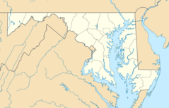
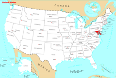
Usa Maryland Location Map
2000 x 1273 - 148,163k - png

Maryland Flag Map
1492 x 796 - 24,019k - png
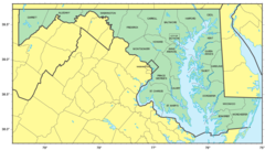
Counties Map of Maryland
1279 x 723 - 96,638k - png
Maryland Relief Map
1560 x 863 - 233,330k - jpg
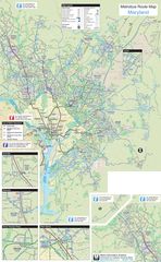
Maryland Metrobus Map
2200 x 3569 - 1,762,064k - jpg
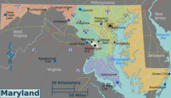
Where Is Maryland Located
1476 x 1002 - 136,056k - png
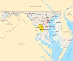
Maryland Cities And Towns
2451 x 2061 - 178,681k - PNG
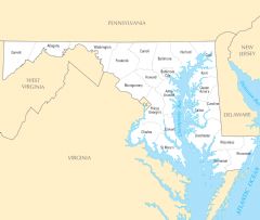
Maryland County Map
2454 x 2076 - 166,652k - PNG
Maryland Reference Map
2454 x 2064 - 449,806k - PNG
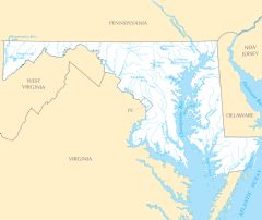
Maryland Rivers And Lakes
2445 x 2058 - 202,391k - PNG
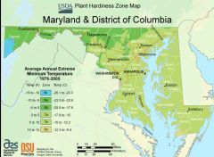
District Of Columbia Plant Hardiness Zone Map
2901 x 2124 - 362,960k - PNG

Maryland Plant Hardiness Zone Map
2898 x 2133 - 364,057k - PNG