State of Kerala, Kerala
State of Kerala: Indian state
About
State Snapshot
State of Kerala at a glance
State of Kerala currently has 73 quality-checked populated place pages and 3 county pages linked on MapSof.
Mapped cities & towns
73
These counts use a stricter populated-place filter so the main lists stay focused on real city and town pages.
County pages
3
Open related pagesLargest city
ChittūrPopulation 4,170,468
Top linked places
Quick Facts about State of Kerala
| Population | 33,406,061 |
| Country | India |
| State | Kerala (India) |
| Different from | Kerala |
| Plate code | KL |
| Area | 38863 km2 |
| Official name | കേരളം, Kerala |
| Continent | Asia |
| Latitude & Longitude | 10.4167,76.5000 |
| Legislative body | Kerala Legislative Assembly |
| Male population | 16027412 |
| Official language | English, Malayalam |
| Female population | 17378649 |
| Capital | Thiruvananthapuram |
| Establishment | November 01, 1956 (69 years ago) |
| Time Zone | UTC+05:30 |
| Local time | 06:34:04 (26th July 2026) |
Geography
State of Kerala is located at 10°25'0"N 76°30'0"E (10.4166700, 76.5000000). It has 2 neighbors: State of Tamil Nadu and Pondicherry.
State of Kerala map
The largest city of State of Kerala is Cochin with a population of 677,381. Other cities include, Kozhikode population 439,922, Kannur population 62,836, Kottayam population 59,437 and Paravūr Tekkumbhāgam population 38,946. See all State of Kerala cities & populated places.
Official website of State of Kerala
Official WebsiteDemographics
| Year | Population | % Change | Method |
|---|---|---|---|
| 2011 | 33,406,061 | - | census |
Map & Images (more maps)
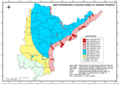
Hazard Map of Andhra Pradesh
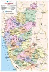
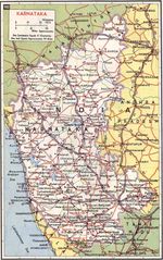
Political Map of Karnataka