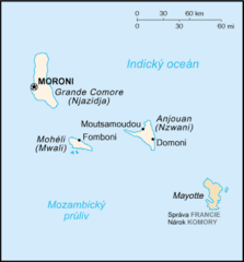
Satellite Image of Comoros In April 2002
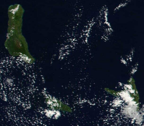
Click on the Satellite Image of Comoros In April 2002 to view it full screen. File Type: jpg, File size: 40226 bytes (39.28 KB), Map Dimensions: 609px x 533px (16777216 colors)
More Union of the Comoros Static Maps
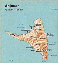
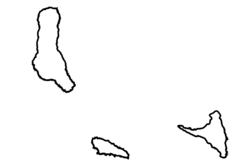
Anjouan (comoros) Map
350 x 382 - 22,349k - jpg

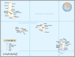
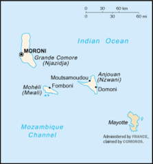
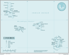
Comoros 506px
506 x 599 - 33,470k - jpg
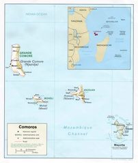
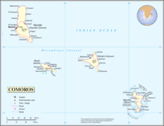
Comoros Mayotte
847 x 648 - 25,658k - png
Comoros Rel91
1046 x 1238 - 103,385k - jpg
Comoros Cia Wfb Map
330 x 355 - 6,016k - png
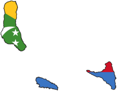
Flag Map of the Comoros
920 x 718 - 11,384k - png
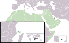
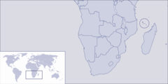
Location Comoros Aw
385 x 238 - 5,781k - png
Mapa Komor
330 x 355 - 5,866k - png
Svg Koort Komoren
920 x 637 - 9,071k - png
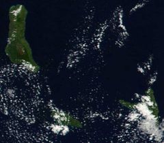
Satellite Image of Comoros In April 2002
609 x 533 - 40,226k - jpg
Un Comoros
2709 x 2073 - 180,729k - png

Comoros Flag Map
2048 x 1599 - 40,901k - png
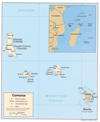
Comoros Map
1012 x 1230 - 201,354k - png
Where Is Comoros Located
1000 x 500 - 30,783k - png
Comoros
2571 x 2019 - 154,677k - png