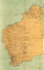
Detailed Map of Western Australia
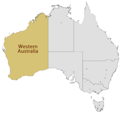
Western Australia is Australia’s largest state, spanning the entire western third of the continent. Exploring a detailed map of Western Australia provides insight into its geography and settlement patterns.
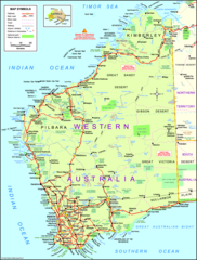
Regions
Western Australia can be divided into several geographical regions:
- The Kimberley - Rugged northern region with a tropical climate.
- The Pilbara - Hot, dry region containing mineral deposits and Aboriginal settlements.
- The Gascoyne - Transition zone from the arid interior to the more temperate south.
- Mid West - Inland region with pastoral farming.
- The Goldfields - Mining region containing deposits of gold, nickel and iron ore.
- The Wheatbelt - Vast agricultural region utilizing Mediterranean climate.
- The South West - Most heavily populated corner of the state. Mild, wet winters.
Major Cities
The two largest metro areas in Western Australia are:
- Perth - Capital and primate city located along the Swan River.
- Bunbury - Port city that serves as gateway to the South West region.
Landmarks
Famous landmarks include:
- Karijini National Park - Rugged gorges and waterfalls.
- Margaret River - Known for wine regions, beaches and caves.
- Wave Rock - Precambrian formation shaped like a breaking wave.
In summary, Western Australia’s detailed map showcases its massive yet diverse territory and settlement patterns based on climate and resources.
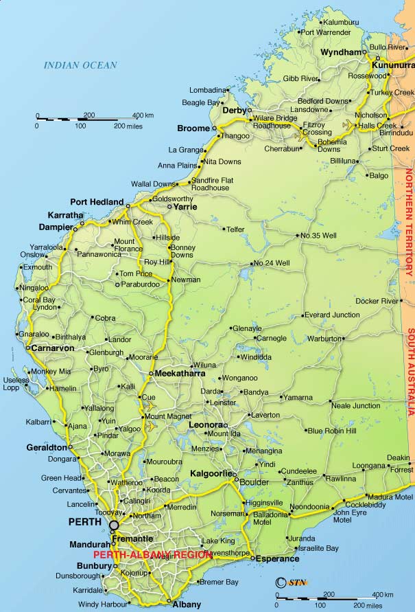
Click on the Detailed Map of Western Australia to view it full screen. File Type: jpg, File size: 101355 bytes (98.98 KB), Map Dimensions: 605px x 891px (16777216 colors)
More State of Western Australia Static Maps
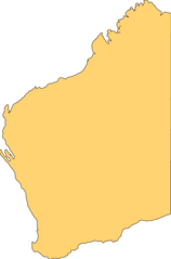
Blank Map of Western Australia
949 x 1438 - 17,837k - png
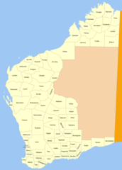
Cities Map of Western Australia
1200 x 1679 - 106,084k - png
Detailed Map of Western Australia
605 x 891 - 101,355k - jpg
Historical Map of Western Australia
1134 x 1800 - 294,430k - jpg
Location Map of Western Australia
1493 x 1380 - 48,936k - png
Map of Western Australia
1966 x 2590 - 609,306k - png
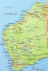
Western Australia Transport Map
2600 x 1839 - 1,270,394k - jpg