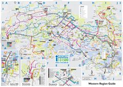
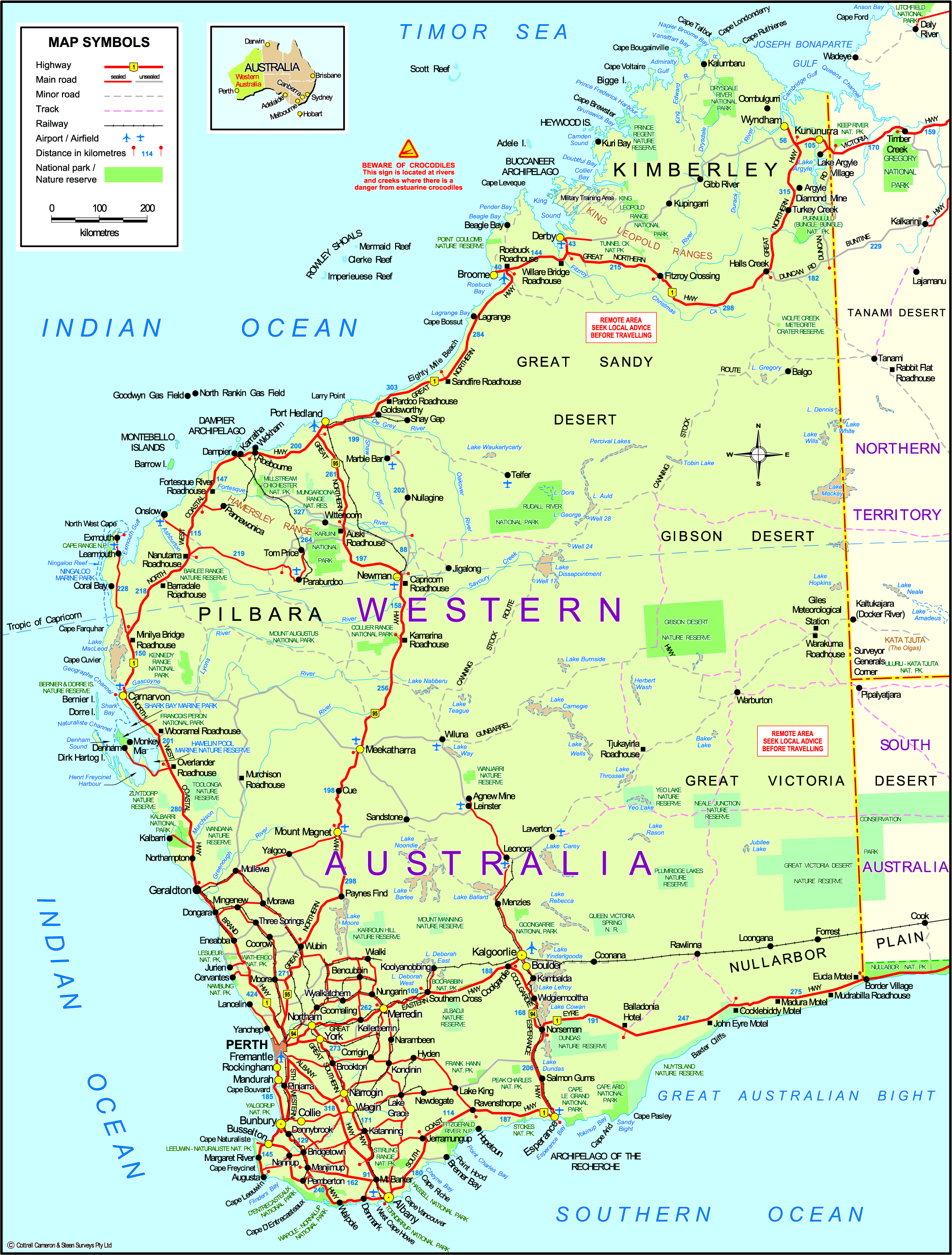
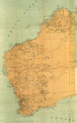
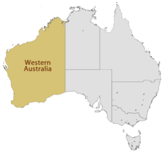
Map of Western Australia
Western Australia occupies the entire western third of the Australian continent. Looking at a map of WA provides perspective on its vast size and diverse landscape.
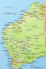
The Capital City of Perth
The capital and largest city is Perth in the southwest corner, where most of the population resides. The metro area contains important economic centers like the ports of Fremantle and Mandurah.
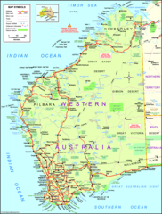
The Outback and Interior
The vast interior and northern areas of WA consist of rugged, arid outback. Notable deserts include the Gibson Desert and Great Sandy Desert. The isolated town of Kalgoorlie was built on gold mining.
The Kimberley
The tropical Kimberley region in the northwest contains gorges, waterfalls, and pockets of rainforest. It is home to the Bungle Bungle Range in Purnululu National Park, the Gibb River Road, and mining operations.
The Pilbara
The Pilbara region south of the Kimberley is mineral-rich and sparsely populated. Ports like Dampier and mining towns like Tom Price support the iron ore industry. It also features scenic gorges and Aboriginal heritage sites.
The Coast
WA's coastline borders the Indian Ocean and has major ports like Broome and Exmouth along with pristine beaches and coral reefs like Ningaloo Reef. Surfing is popular at breaks like Margaret River.
Overall, the map highlights the isolation yet importance of Perth, the expansive Outback, and the diversity between the Kimberley, Pilbara, and southern coasts.
More State of Western Australia Static Maps
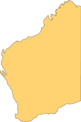
Blank Map of Western Australia
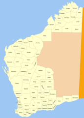
Cities Map of Western Australia
Detailed Map of Western Australia
Historical Map of Western Australia
Location Map of Western Australia
Map of Western Australia