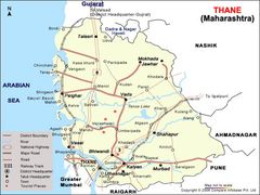
Location Map of Thane
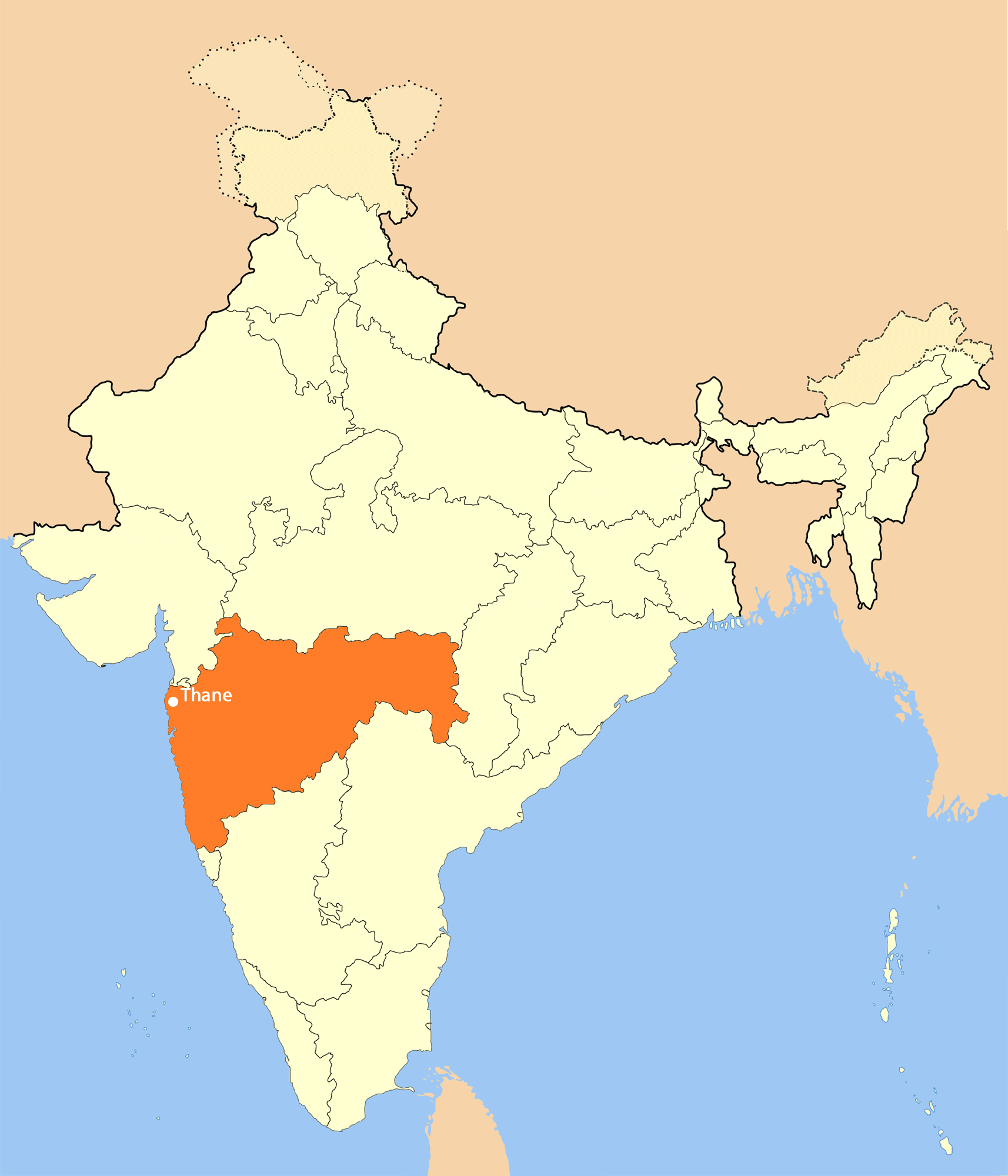
Click on the Location Map of Thane to view it full screen. File Type: png, File size: 101289 bytes (98.92 KB), Map Dimensions: 1714px x 2000px (256 colors)
More Uttar Pradesh Static Maps
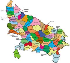
Districts Map of Uttar Pradesh
1050 x 945 - 106,031k - jpg
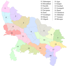
Divisions Map of Uttar Pradesh
1412 x 1362 - 55,825k - png
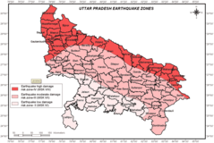
Earthquake Hazard Map of Uttar Pradesh
1280 x 858 - 130,306k - png
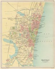
History Map of Chennai
1000 x 1247 - 190,532k - jpg

Location Map of Thane
1714 x 2000 - 101,289k - png
Map of Thane
700 x 525 - 64,489k - jpg
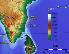
Topographic Map of Tamil Nadu
1176 x 918 - 110,827k - jpg