Ontario, CA
Ontario: province of Canada
About
State Snapshot
Ontario at a glance
Ontario currently has 70 quality-checked populated place pages and 1 county pages linked on MapSof.
Mapped cities & towns
70
These counts use a stricter populated-place filter so the main lists stay focused on real city and town pages.
County pages
1
Open related pagesLargest city
TorontoPopulation 2,731,571
Top linked places
Quick Facts about Ontario
| Population | 14,279,196 |
| Country | Canada |
| Postal code | P, K, N, L, M |
| Area | 1076395 km2 |
| Official name | ኦንታሪዮ, Ontario, Ontario |
| Water as percent of area | 14% |
| Land as percent of area | 86% |
| Continent | North America |
| Easternmost point | Point(-74.344077 45.205168) |
| Northernmost point | Point(-88.884722222 56.856944444) |
| Latitude & Longitude | 49.2501,-84.4998 |
| Legislative body | Parliament of Ontario |
| Named for | Lake Ontario |
| Official language | English |
| Capital | Toronto |
| Establishment | July 01, 1867 (159 years ago) |
| Time Zone | America/Toronto, Central Time Zone, Eastern Time Zone |
| Local time | 00:07:40 (13th July 2026) |
Geography
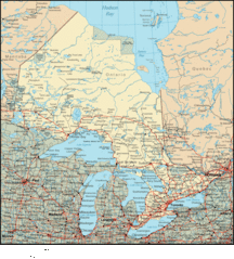
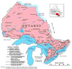
Ontario is located at 49°15'0"N 84°29'59"W (49.250135627, -84.499834324). It has 10 neighbors: Michigan, Minnesota, New York, Ohio, Wisconsin, Manitoba, Northwest Territories, Nunavut, Quebec and Pennsylvania.
Ontario map
The largest city of Ontario is Ottawa with a population of 812,129. Other cities include, Hamilton population 536,917, Oshawa population 308,875, Kitchener population 233,700 and Windsor population 217,188. See all Ontario cities & populated places.
Largest Cities in Ontario (more)
Cities, Towns, Villages, Neighborhoods & Other Populated Places in Ontario.
| City Name | County | Population |
|---|---|---|
| Toronto | 2,731,571 | |
| Ottawa | 812,129 | |
| Hamilton | 536,917 | |
| London | 383,822 | |
| Oshawa | 308,875 | |
| Kitchener | 233,700 | |
| Windsor | 217,188 | |
| Barrie | 197,059 | |
| Guelph | 115,760 | |
| Kingston | 114,195 | |
| Waterloo | 104,986 | |
| Chatham-Kent | 101,647 | |
| Thunder Bay | 99,334 | |
| Ajax | 90,167 | |
| Brantford | 87,759 | |
| Peterborough | 75,877 |
Show more Ontario cities and populated places
Official website of Ontario
Official WebsiteDemographics
| Year | Population | % Change | Method |
|---|---|---|---|
| 1851 | 952,004 | - | census |
| 1861 | 1,396,091 | 31.81% | census |
| 1871 | 1,620,851 | 13.87% | census |
| 1881 | 1,926,922 | 15.88% | census |
| 1891 | 2,114,321 | 8.86% | census |
| 1901 | 2,182,947 | 3.14% | census |
| 1911 | 2,527,292 | 13.63% | census |
| 1921 | 2,933,662 | 13.85% | census |
| 1931 | 3,431,683 | 14.51% | census |
| 1941 | 3,787,655 | 9.4% | census |
| 1951 | 4,597,542 | 17.62% | census |
| 1956 | 5,404,933 | 14.94% | census |
| 1961 | 6,236,092 | 13.33% | census |
| 1966 | 6,960,870 | 10.41% | census |
| 1971 | 7,703,106 | 9.64% | census |
| 1976 | 8,264,465 | 6.79% | census |
| 2011 | 12,851,821 | 35.69% | census |
| 2015 | 13,733,544 | 6.42% | estimation process |
| 2016 | 13,448,494 | -2.12% | census |
| 2017 | 14,279,196 | 5.82% | estimation process |
Other places with the same name (6)
- Ontario, California The second most populous city in San Bernardino County, California. with a population of 183,393 people.
- Ontario, Oregon city in Oregon, USA with a population of 11,140 people.
- Ontario, New York human settlement in United States of America with a population of 10,173 people.
- Ontario, Ohio city in Ohio, USA with a population of 6,102 people.
- Ontario, Illinois unincorporated community in Illinois with a population of 871 people.
- Ontario, Wisconsin village in Vernon County, Wisconsin, United States with a population of 561 people.
Ontario Counties
Milton
| County Name | Population |
|---|---|
| Milton | 101,715 |
Show more Ontario counties
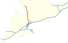
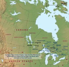
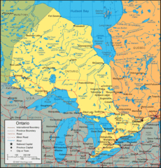
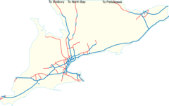
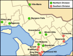
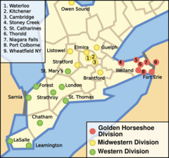
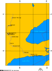
Map & Images (more maps)
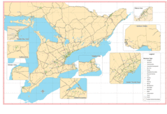
Map of Ontario
Ontario Canada
Ontario Map
Ontario Map 1
Ontario Map 2
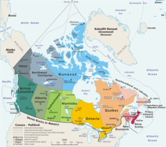
Map Canada Political 1

1814thompsonmap
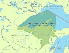
1842treatyoflapointe
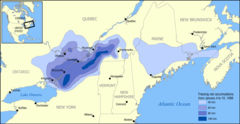
1998 Ice Storm Map
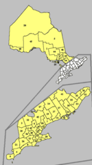
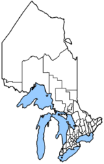
335px Ontariocensusdivisions
Anishinaabewaki
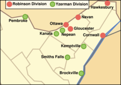
Cjhl Team Locations
Census Divisions On
Cherryvalleyontariolocation
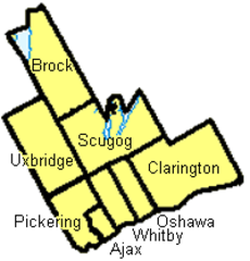
Durhamregion
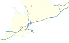
Expressway Network Sontario
Expressway Network Future
Gmhl Team Locations
Gojhl Team Locations
Gpled Grand River