MapSof
.net
Places
Countries
States
Capital Cities
All Places
Maps
Physical Maps
Political Maps
Historical Maps
All Maps
Tools
Distance Calculator
Address Locator
Geocoder
Street View
Coordinate Finder
Distances
Countries
States
Cities
Maps
Distance Calculator
Geocoder
Distances
Home
/
Maps
/
Physical Maps
Physical Maps
Browse our collection of physical maps from around the world.
Physical
Political
Historical
Relief
Climate
Thematic
Elevation
Satellite
Road
Topo
Street
Contour
Election
Showing
97
maps — Page 3 of 3
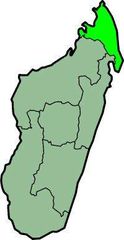
Antsiranana Province
Republic of Madagascar
200x387 · 9,029k · jpg
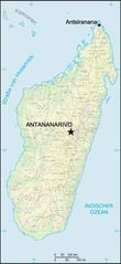
Lage Antsiranana In Madagaskar Dt
Republic of Madagascar
330x717 · 35,810k · jpg
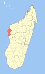
Madagascar Maintirano District
Republic of Madagascar
1403x2306 · 53,272k · png
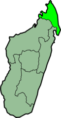
Madagascarantsiranana
Republic of Madagascar
200x387 · 6,352k · png
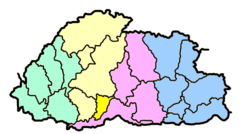
Bhutantsirang
Kingdom of Bhutan
800x449 · 14,373k · png
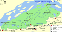
Kaziranga National Park Map En Mod
Republic of India
920x483 · 33,962k · png
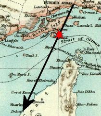
Iran Air 655 Strait of Hormuz 2
Asia
642x732 · 76,714k · jpg
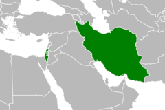
Israel And Iran
Asia
1194x795 · 36,579k · png
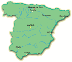
Miranda Au Espagne
Kingdom of Spain
461x396 · 18,601k · gif
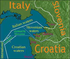
Bay of Piran Maritime Boundary Dispute
Italian Republic
709x600 · 164,071k · jpg
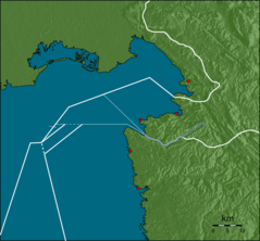
Borderdispute Bayofpiran Blank
Italian Republic
800x742 · 132,898k · png
Bay of Piran Maritime Boundary Dispute 2
Republic of Slovenia
709x600 · 164,071k · jpg
Borderdispute Bayofpiran Blank 1
Republic of Slovenia
800x742 · 132,898k · png
Bay of Piran Maritime Boundary Dispute 1
Republic of Croatia
709x600 · 164,071k · jpg
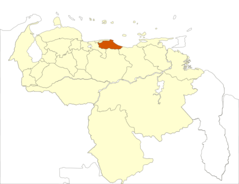
Venezuela Miranda State Location
Bolivarian Republic of Venezuela
920x707 · 25,517k · png
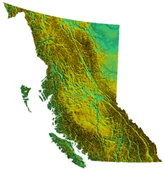
Bc Relief Garibaldiranges
British Columbia
659x675 · 108,351k · png
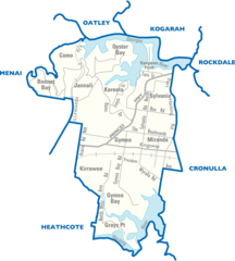
Miranda City Map
Miranda
1078x1200 · 76,855k · png
«
1
2
3
»