State of Karnataka, Karnataka
State of Karnataka: Issued under Article 371J(1) of the Constitution of India.
About
State Snapshot
State of Karnataka at a glance
State of Karnataka currently has 147 quality-checked populated place pages and 16 county pages linked on MapSof.
Mapped cities & towns
147
These counts use a stricter populated-place filter so the main lists stay focused on real city and town pages.
County pages
16
Open related pagesLargest city
BengaluruPopulation 11,250,000
Top linked places
Quick Facts about State of Karnataka
| Country | India |
| State | Karnataka (India) |
| Latitude & Longitude | 14.6667,75.8333 |
| Time Zone | Asia/Kolkata |
| Local time | 13:11:17 (17th July 2026) |
Geography
State of Karnataka is located at 14°40'0"N 75°49'60"E (14.6666700, 75.8333300).
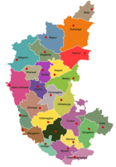
State of Karnataka map
The largest city of State of Karnataka is Bengaluru with a population of 11,250,000. Other cities include, Mysore population 868,313, Hubli population 840,214, Belgaum population 428,720 and Mangalore population 417,387. See all State of Karnataka cities & populated places.
Official website of State of Karnataka
Official WebsiteMap & Images (more maps)
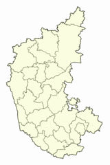
Blank Map of Karnataka
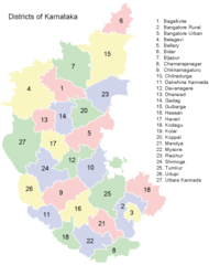
Districts Map of Karnataka
Districts of Karnataka
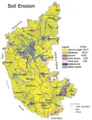
Erosion Map Karnataka
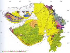
Geological Map of Gujarat
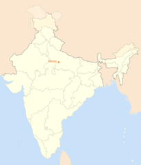
Location Map of Kanpur
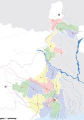
Locatior Map of West Bengal
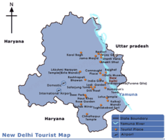
Map Delhi
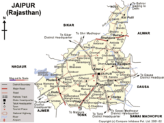
Map of Jaipur
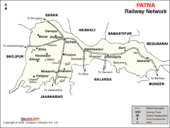
Patna Map
Physical Map of Hyderabad
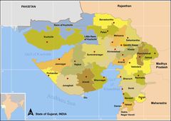
Political Map of Gujarat
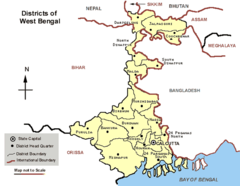
Political Map West Bengal
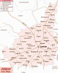
Road Map Jaipur
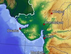
Topographic Map of Gujarat
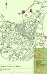
Tourist Map of Jaipur
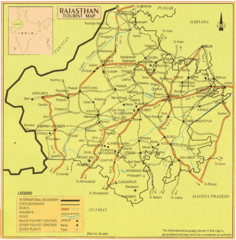
Tourist Map of Rajasthan