Map of Delhi 1
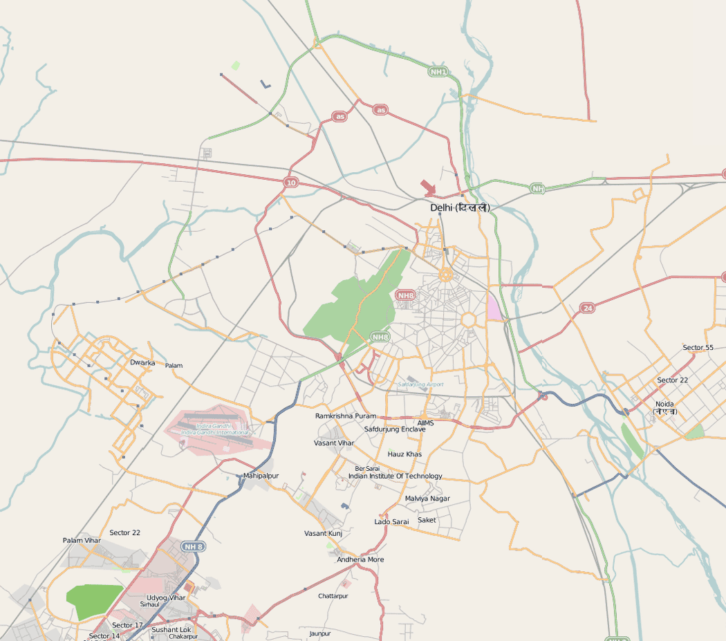
Click on the Map of Delhi 1 to view it full screen. File Type: png, File size: 126698 bytes (123.73 KB), Map Dimensions: 1050px x 927px (256 colors)
More Hyderabad Static Maps
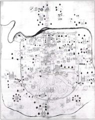
City Map of Delhi
600 x 519 - 35,252k - jpg
Historical Map of Ahmedabad
951 x 1200 - 143,993k - jpg
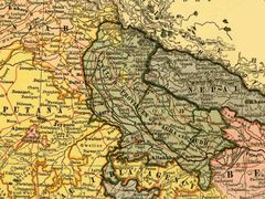
History Map of Uttar Pradesh
700 x 525 - 119,119k - jpg
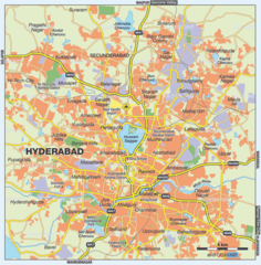
Hyderabad City Map
1000 x 1018 - 185,116k - png
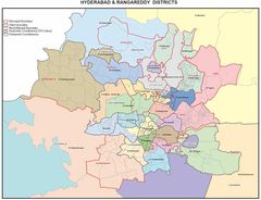
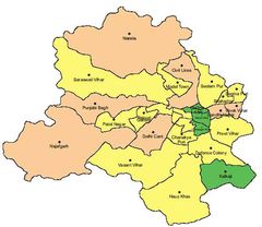
Hyderabad Districts Map
1100 x 845 - 93,425k - jpg
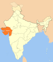
Location Map of Gujarat
1714 x 2000 - 100,984k - png
Map of Delhi 1
1050 x 927 - 126,698k - png
Physical Map of Gujarat
600 x 470 - 66,935k - png
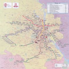
Subway (metro) Map Delhi
1400 x 1420 - 311,900k - jpg
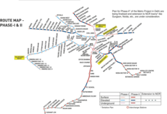
Subway Map of Delhi
1400 x 954 - 154,419k - png
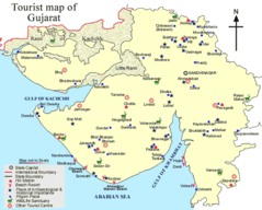
Tourist Map of Gujarat
720 x 578 - 82,428k - png
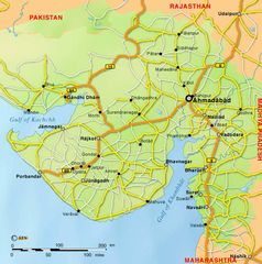
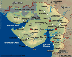
Transport Map of Gujarat
700 x 706 - 79,603k - jpg
Transport Map of West Bengal
1199 x 1800 - 226,459k - jpg