Greenlandworldmap

Click on the Greenlandworldmap to view it full screen. File Type: png, File size: 16215 bytes (15.83 KB), Map Dimensions: 1427px x 628px (256 colors)
More Greenland Static Maps
Coca Cola Gm 2007
720 x 1404 - 21,855k - png
Disko Bay
307 x 599 - 6,932k - png
Godthaabsfjord
990 x 664 - 80,250k - jpg
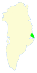
Greenland Nuussuaq Peninsula
720 x 1404 - 22,119k - png
Greenland Disko Bay
720 x 1404 - 22,297k - png
Greenland Ittoqqortoormiit
720 x 1404 - 21,526k - png
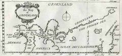
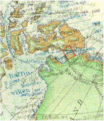
Greenland Map 17th Century
500 x 232 - 19,476k - jpg
Greenland Big
367 x 599 - 31,431k - png
Greenland Blank Map
307 x 582 - 19,766k - png
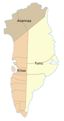
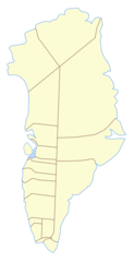
Greenland Counties
738 x 1383 - 20,861k - png
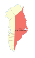
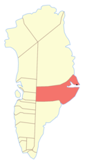
Greenland East
968 x 1602 - 23,710k - png
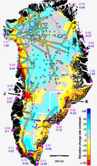
Greenland Ice Sheet Thinning Rate
253 x 430 - 92,827k - jpg
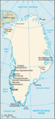
Greenland Map
172 x 306 - 10,760k - png
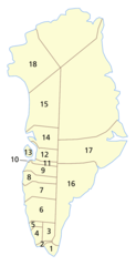
Greenland Municipalities Numbered
720 x 1404 - 25,225k - png
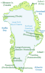
Greenland Nat Park
720 x 1404 - 20,999k - png
Greenland North
968 x 1602 - 24,590k - png
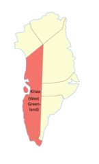
Greenland West
968 x 1602 - 24,448k - png
Greenland Cia Wfb Map
331 x 715 - 34,613k - png
Greenlandworldmap
1427 x 628 - 16,215k - png
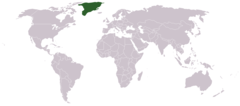
Greenlandlocatormap
678 x 264 - 12,000k - png
Grienland Ru
329 x 609 - 30,418k - png
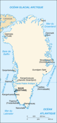
Groenland Carte
329 x 707 - 18,594k - png
Hansi
284 x 331 - 33,101k - jpg
Jameson Land
307 x 599 - 6,888k - png
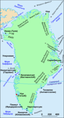
Kartegraenland
540 x 720 - 50,994k - png
King Christian X Land
307 x 599 - 7,053k - png
King Frederic Vi Coast
307 x 599 - 7,052k - png
King Frederic Viii Land
307 x 599 - 6,881k - png
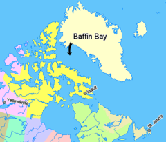
Map Indicating Baffin Bay
425 x 365 - 14,034k - png
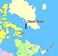
Map Indicating Davis Strait
340 x 330 - 11,039k - png