Historical Map Kolkata
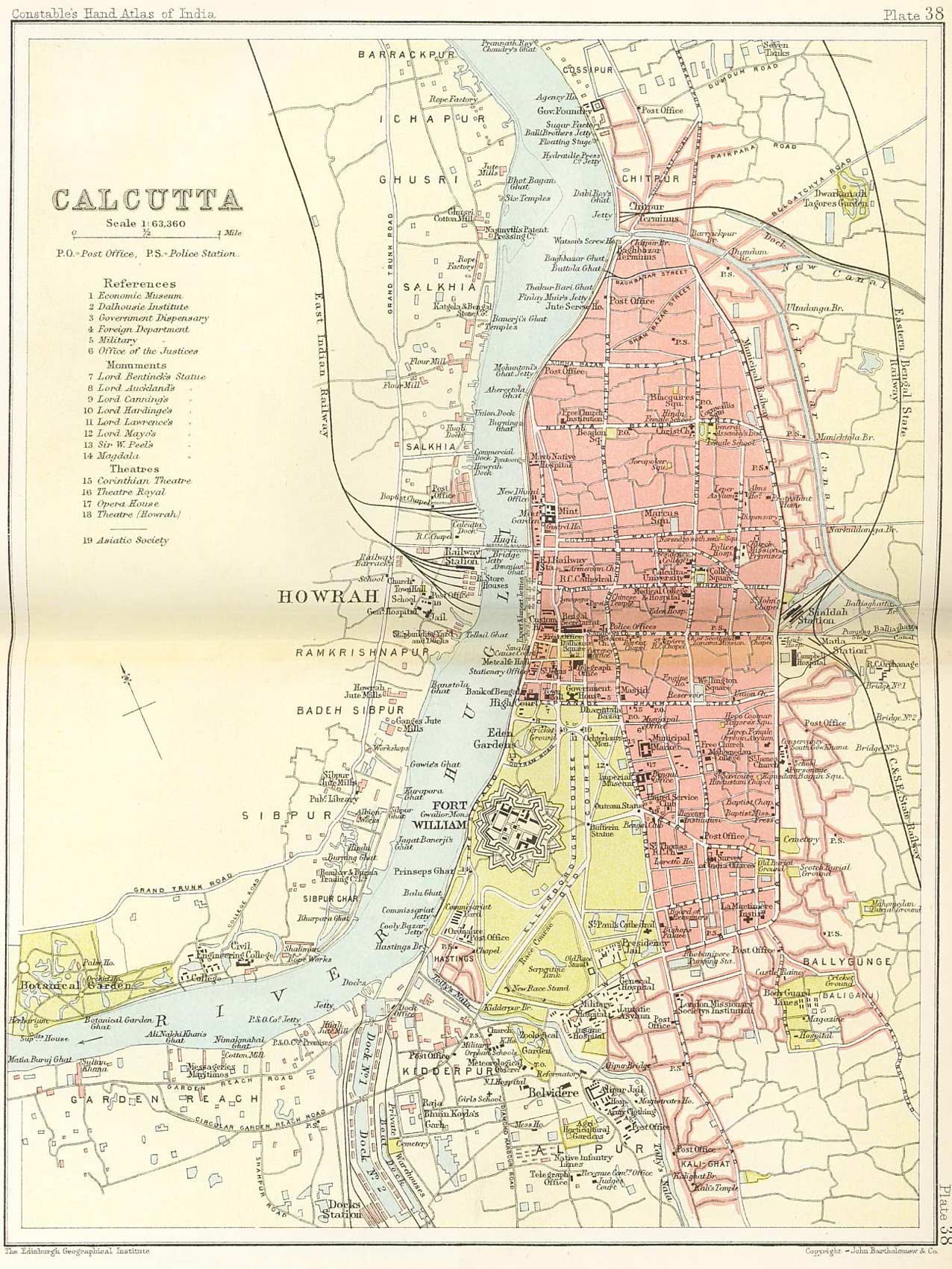
Click on the Historical Map Kolkata to view it full screen. File Type: jpg, File size: 385974 bytes (376.93 KB), Map Dimensions: 1276px x 1700px (16777216 colors)
More Mumbai Static Maps
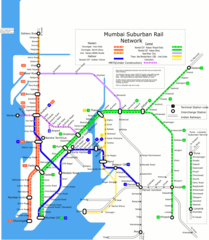
Mumbai Suburban Rail Map
1200 x 1377 - 109,891k - png
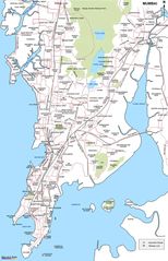
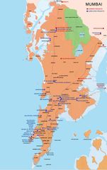
City Map of Mumbai
902 x 1400 - 162,475k - jpg
City Map of Mumbai 2
752 x 1000 - 139,566k - jpg
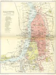
Historical Map Kolkata
1276 x 1700 - 385,974k - jpg
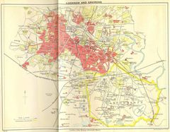
Historical Map of Lucknow
1400 x 1093 - 269,692k - jpg
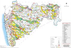
Hydrographic Map of Maharashtra
1272 x 853 - 205,294k - jpg
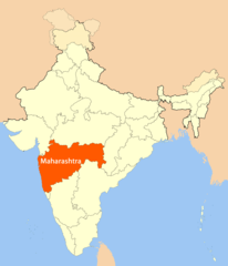
Location Map of Maharashtra
1716 x 2000 - 106,112k - png
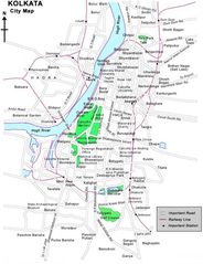
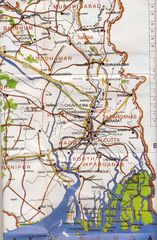
Map Kolkata
600 x 779 - 80,252k - jpg
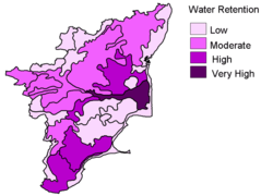
Mudslide Map of Tamil Nadu
900 x 677 - 36,825k - png
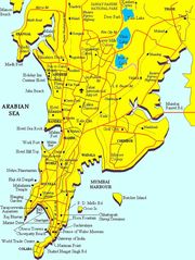
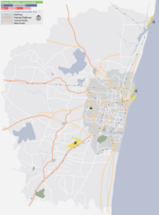
Mumbai City Map
700 x 935 - 99,826k - jpg
Mumbai Map
649 x 1000 - 102,225k - png
Mumbai Map 2
755 x 1200 - 95,732k - jpg
Physical Map Kolkata
1181 x 1800 - 351,691k - jpg
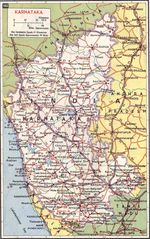
Physical Map of Karnataka
999 x 1594 - 463,990k - jpg
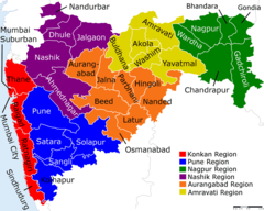
Political Map Maharashtra
1600 x 1281 - 183,849k - png
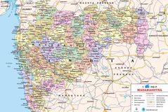
Political Map of Maharashtra
1300 x 870 - 291,796k - jpg
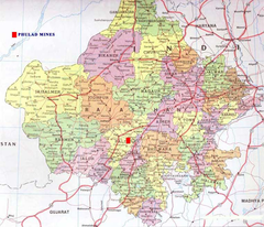
Political Map of Rajasthan
762 x 653 - 99,682k - png
Subway Map of Kolkata
870 x 1166 - 38,418k - png
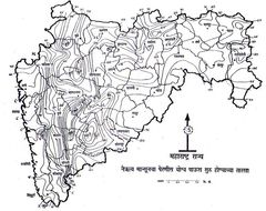
Topographic Map of Maharashtra
974 x 771 - 137,641k - jpg
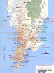
Transport Map Chennai
1364 x 1840 - 120,853k - png
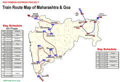
Transport Map of Maharashtra
1600 x 1100 - 194,331k - png
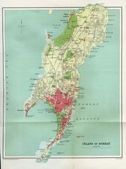
Island of Bombay 1909
1571 x 2104 - 394,457k - jpg
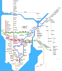
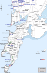
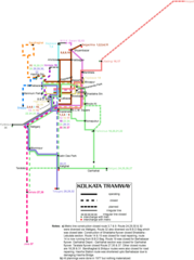
Mumbai Metro Map
1061 x 1212 - 27,389k - png