Bangalore Map
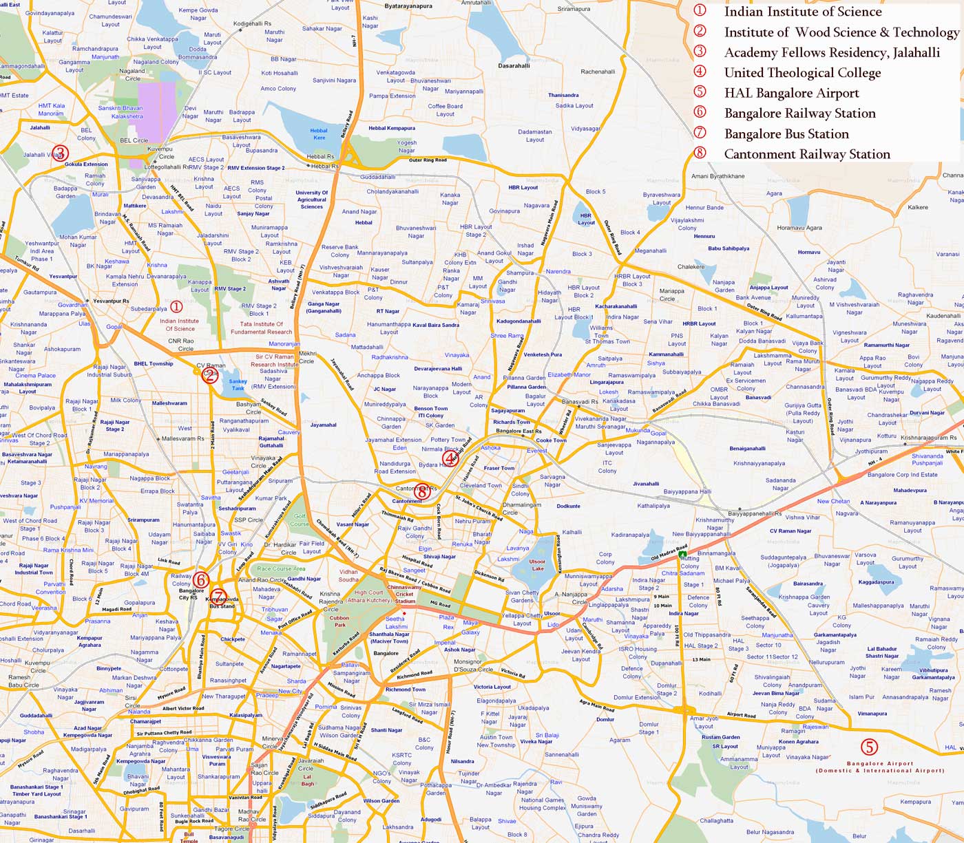
Click on the Bangalore Map to view it full screen. File Type: jpg, File size: 342491 bytes (334.46 KB), Map Dimensions: 1400px x 1225px (16777216 colors)
More Bengaluru Static Maps
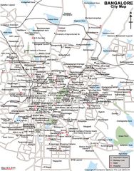
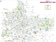
Bangalore City Map
1280 x 948 - 283,923k - jpg
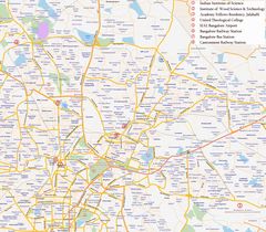
Bangalore Map
1400 x 1225 - 342,491k - jpg
City Center Map Bangalore
750 x 960 - 167,354k - jpg
City Map Bangalore
800 x 608 - 73,718k - jpg
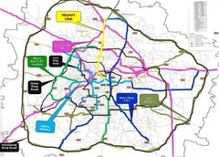
City Map of Bangalore
933 x 1341 - 173,384k - jpg
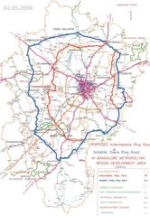
Detailed Road Map Bangalore
926 x 662 - 111,901k - jpg
Location Map of Ahmedabad
1714 x 2000 - 107,568k - png
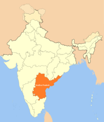
Location of Andhra Pradesh
1714 x 2000 - 101,836k - png
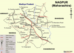
Maps of Nagpur
670 x 488 - 55,758k - png
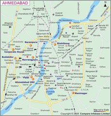
Map of Ahmedabad
700 x 733 - 99,430k - jpg
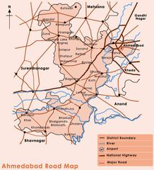
Road Map of Ahmedabad
650 x 715 - 69,163k - jpg
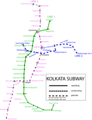
Subway Map Kolkata
655 x 861 - 24,943k - png
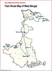
Train Map West Bengal
1476 x 2038 - 159,718k - jpg