Location Map of Wollongong

Click on the Location Map of Wollongong to view it full screen. File Type: png, File size: 48494 bytes (47.36 KB), Map Dimensions: 1493px x 1380px (256 colors)
More Wollongong Static Maps
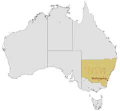
Location Map of Wollongong
1493 x 1380 - 48,494k - png
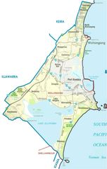
Map of Wollongong
855 x 1345 - 89,944k - jpg