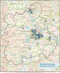
West Midlands Map
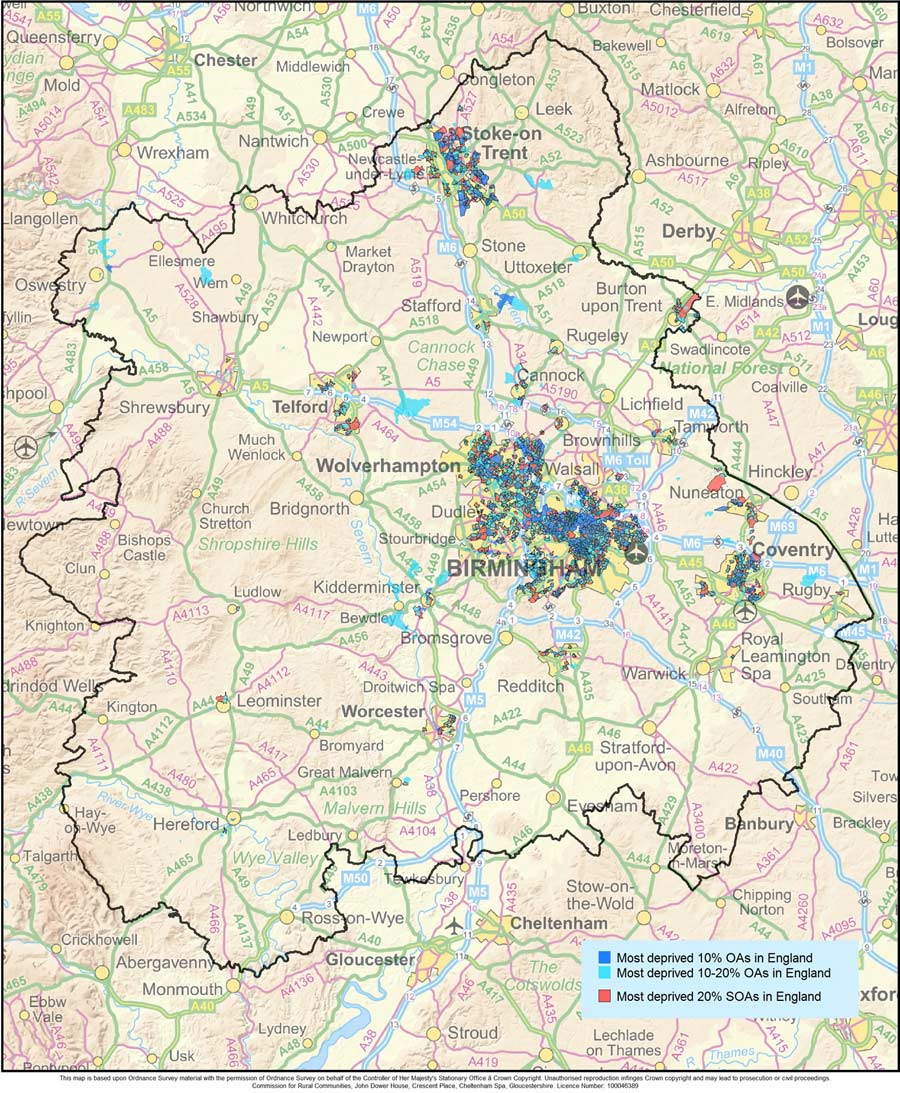
Click on the West Midlands Map to view it full screen. File Type: jpg, File size: 228531 bytes (223.17 KB), Map Dimensions: 900px x 1093px (16777216 colors)
More West Midlands Static Maps
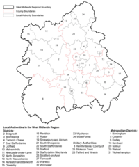
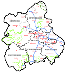
Districts Map of West Midlands
1138 x 1367 - 197,467k - png
Geological Map of West Midlands
1800 x 1256 - 183,110k - png
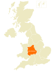
Location Map of West Midlands
2367 x 3093 - 102,113k - png
Map of West Midlands
726 x 788 - 76,471k - png
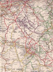
Old Map of West Midlands
933 x 1250 - 300,935k - jpg
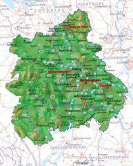
Physical Map of West Midlands
700 x 869 - 134,182k - jpg
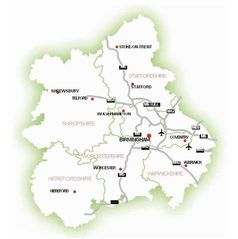
Transport Map of West Midlands
700 x 704 - 28,845k - jpg
West Midlands Map
900 x 1093 - 228,531k - jpg