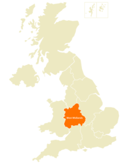
West Midlands, England
West Midlands: one of nine official regions of England
About
Quick Facts about West Midlands
| Population | 5,934,037 |
| Country | United Kingdom |
| State | England (United Kingdom) |
| Different from | West Midlands |
| Area | 13004 km2 |
| Latitude & Longitude | 52.5000,-1.9667 |
| Capital | Birmingham |
| Time Zone | UTC±00:00 |
| Local time | 18:01:09 (1st July 2026) |
Geography
West Midlands is located at 52°30'0"N 1°58'0"W (52.5000000, -1.9666700).
West Midlands map
Click "full screen"  icon to open full mode. View satellite images
Official website of West Midlands
Official Website- Staffordshire
- Worcestershire
- West Midlands
- Shropshire
- Herefordshire
- Warwickshire
Demographics
| Year | Population | % Change | Method |
|---|---|---|---|
| 2011 | 5,602,000 | - | estimation process |
| 2019 | 5,934,037 | 5.6% | estimation process |
Ceremonial County West Midlands, Midlands West
Map & Images (more maps)
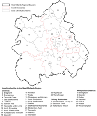
Districts Map of West Midlands
1138 x 1367
- 197,467k -
png
Geological Map of West Midlands
1800 x 1256
- 183,110k -
png
Location Map of West Midlands
2367 x 3093
- 102,113k -
png
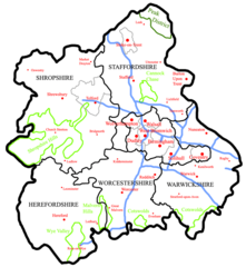
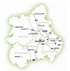
Map of West Midlands
726 x 788
- 76,471k -
png
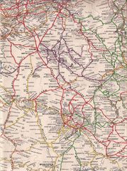
Old Map of West Midlands
933 x 1250
- 300,935k -
jpg
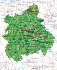
Physical Map of West Midlands
700 x 869
- 134,182k -
jpg
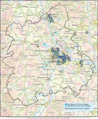
Transport Map of West Midlands
700 x 704
- 28,845k -
jpg
West Midlands Map
900 x 1093
- 228,531k -
jpg