Cyclone Hazard Map of Gujarat
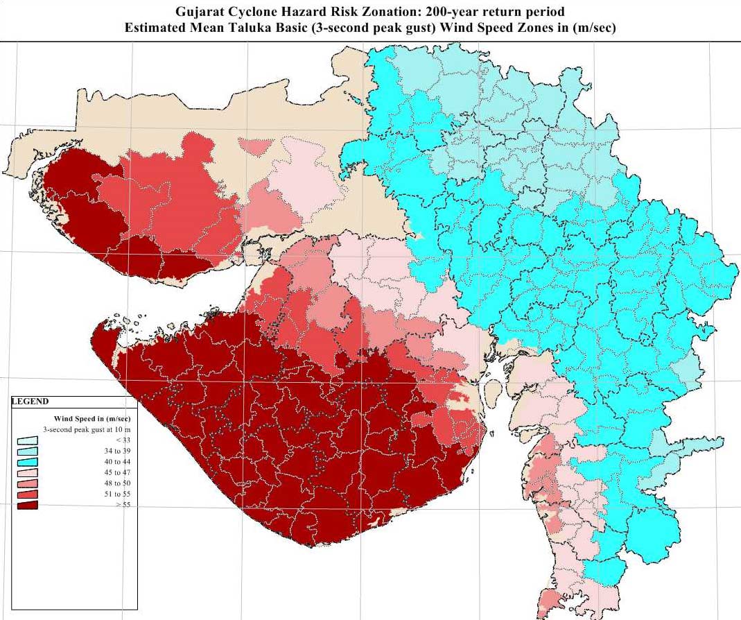
Click on the Cyclone Hazard Map of Gujarat to view it full screen. File Type: jpg, File size: 159515 bytes (155.78 KB), Map Dimensions: 1069px x 894px (16777216 colors)
More Gujarat Static Maps
Gujarat Map With Gir Nat Park Fr
1180 x 940 - 116,154k - png
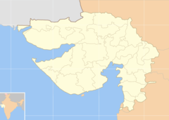
Cities Blank Map of Gujarat
1038 x 740 - 33,069k - png
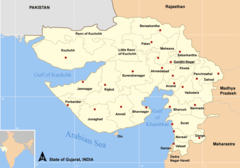
Cities Map of Gujarat
1049 x 735 - 44,585k - png
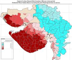
Cyclone Hazard Map of Gujarat
1069 x 894 - 159,515k - jpg
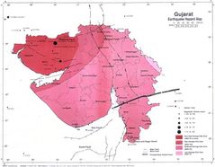
Earthquake Hazard Map Gujarat
1050 x 817 - 76,441k - jpg
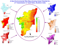
Geographic Environmental Risk Map Tamil Nadu
1145 x 862 - 106,542k - png
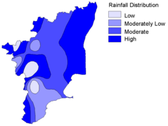
Hydrographic (rainfall) Map Tamil Nadu
931 x 702 - 15,951k - png
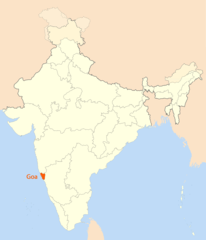
Location Map of Goa
1714 x 2000 - 97,653k - png
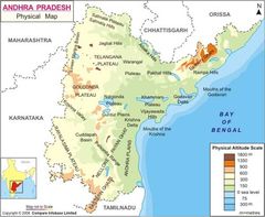
Physical Map of Andhra Pradesh
600 x 493 - 41,914k - jpg
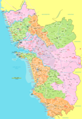
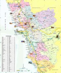
Political Map Goa 1
1663 x 2390 - 243,971k - png
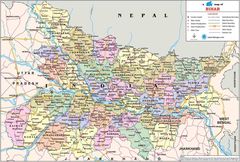
Political Map of Bihar
1304 x 878 - 302,378k - jpg
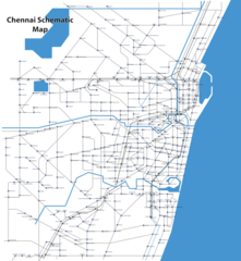
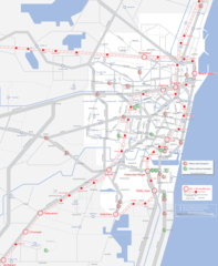
Schematic Map Chennai
1844 x 2000 - 244,994k - png
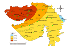
Seismic Map of Gujarat
700 x 506 - 41,690k - png
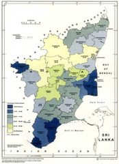
Static Map of Tamil Nadu
1000 x 1377 - 116,920k - jpg
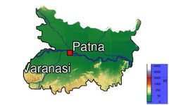
Topographic Map of Bihar
700 x 435 - 25,789k - jpg
Tourist Map of Goa
1335 x 1600 - 351,269k - jpg
Transport Map of Chennai
2000 x 2436 - 285,770k - png
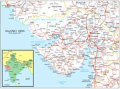
Gujarat Road Map
1600 x 1188 - 276,204k - png