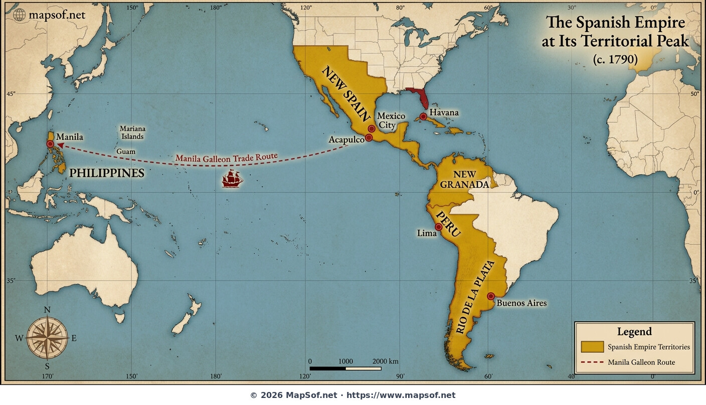
Map of the Spanish Empire in 1790 at its Territorial Peak
The Height of Imperial Power
This historical map illustrates the **Spanish Empire** at its territorial apogee around 1790. Rendered in rich gold and red hues symbolizing imperial wealth and authority, the map visualizes vast domains spanning North and South America, the Caribbean, and across the Pacific to Asia. This period represents the maximum geographical extent of Spanish rule before the onset of major independence movements in the 19th century.
Viceroyalties and Global Connectivity
The detailed cartography highlights major administrative divisions including the Viceroyalties of **New Spain**, **Peru**, **New Granada**, and the recently formed **Rio de la Plata**. Key colonial cities that served as centers of administration and commerce are marked, such as **Mexico City**, **Lima**, **Havana**, **Buenos Aires**, and **Manila**. Crucially, the map depicts the legendary **Manila Galleon** trade route across the Pacific, connecting the Philippines to the Americas and facilitating global economic integration.
More Kingdom of Spain Static Maps
Provinces of Spain (blank Map)
Ccaa of Spain (blank Map)
Spain Municipalities
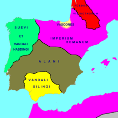
Hispania 418 Ad
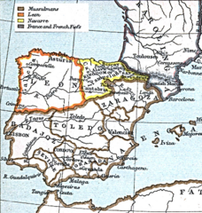
Leon 1030
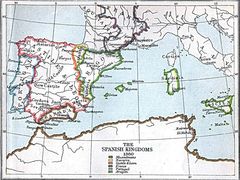
Spanish Kingdoms 1360
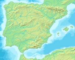
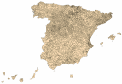
Mapa Iberia Minifisico
000 Spanja Harta
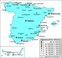
Agloesp
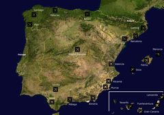
Airports Spain
Atlasrange
Autonomous Communities of Spain No Names
Autonomous Communities of Spain With Other Countries No
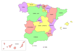
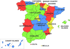
Autonomous Communities of Spain
Autonomous Communities of Spain 01

Autonomous Communities of Spain Interlang
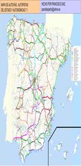
Autovia Mapas
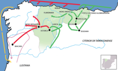
Bellum Asturicum Cantabricum
Capraboinspain
Carrefour In Spain
Castilla La Vieja
Castilla1
Castilla2
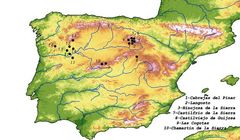
Castros Con Defensas Chevaux De Frise
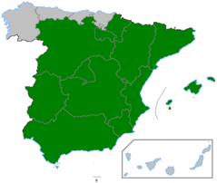
Ccaa Spain
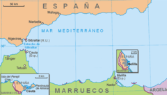
Ceuta Melilla
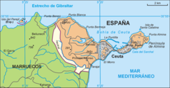
Ceuta
Coasts of Spain Map
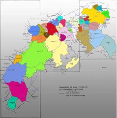
Comunidades De Villa Y Tierra