Perugia Map
Click on the Perugia Map to view it full screen. File Type: jpg, File size: 249387 bytes (243.54 KB), Map Dimensions: 1096px x 1531px (16777216 colors)
More Perugia San Francesco d'Assisi – Umbria International Airport Static Maps
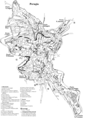
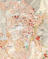
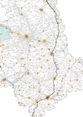
City Map Perugia
1181 x 1640 - 81,423k - png
Hotel Map of Perugia
1612 x 1245 - 280,564k - png
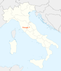
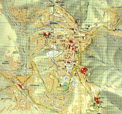
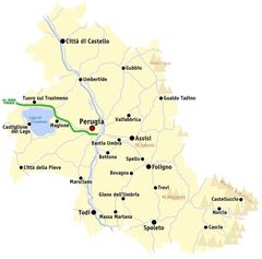
Location Map of Perugia
1338 x 1548 - 99,372k - png
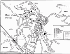
Subway Map of Perugia
650 x 585 - 24,919k - png
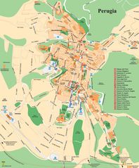
City Map of Perugia
1450 x 1361 - 451,943k - jpg
City Map Perugia 2
843 x 1023 - 171,885k - jpg

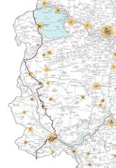
Districts Map of Perugia
650 x 671 - 30,862k - jpg
Map of Perugia
1056 x 1518 - 248,054k - jpg
Map Perugia
725 x 716 - 37,351k - jpg
Perugia City Map
1651 x 1992 - 449,227k - jpg
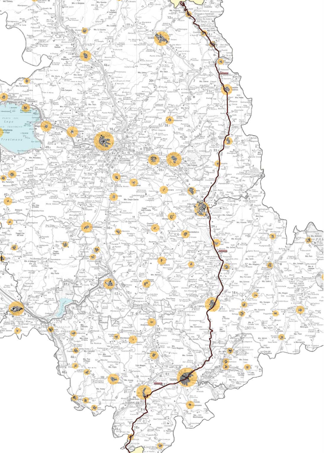
Perugia Map
1096 x 1531 - 249,387k - jpg
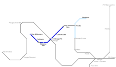
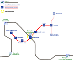
Perugia Metro Map
2200 x 1544 - 80,052k - png

Perugia Metro Map 1
846 x 490 - 5,337k - png