Perugia (Perugia San Francesco d'Assisi – Umbria International Airport), Umbria
Perugia:
About
Quick Facts about Perugia San Francesco d'Assisi – Umbria International Airport
| State | Umbria (Italy) |
| County | Provincia di Perugia |
| Latitude & Longitude | 43.0959,12.5132 |
| Time Zone | Europe/Rome |
| Local time | 21:56:31 (1st July 2026) |
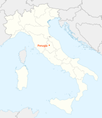
Geography
Perugia San Francesco d'Assisi – Umbria International Airport is located at 43°5'45"N 12°30'48"E (43.0959100, 12.5132200).
Perugia map
Click "full screen"  icon to open full mode. View satellite images
Aeroporto Internazionale dell'Umbria – Perugia San Francesco d'Assisi, Aeroporto di Perugia Sant'Egidio, LIRZ, PEG, Perugia San Francesco d'Assisi - Umbria International Airport, Perugia Sant'Egidio Airport, Perugia Sant'Egidio Flygplats
Map & Images (more maps)
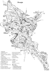
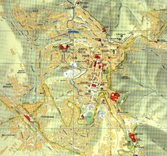
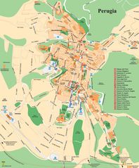
City Map Perugia
1181 x 1640
- 81,423k -
png
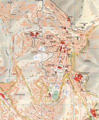
Hotel Map of Perugia
1612 x 1245
- 280,564k -
png
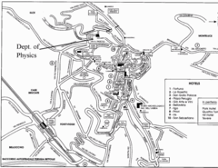
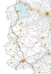
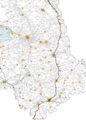
Location Map of Perugia
1338 x 1548
- 99,372k -
png
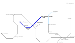
Subway Map of Perugia
650 x 585
- 24,919k -
png
City Map of Perugia
1450 x 1361
- 451,943k -
jpg
City Map Perugia 2
843 x 1023
- 171,885k -
jpg

Districts Map of Perugia
650 x 671
- 30,862k -
jpg
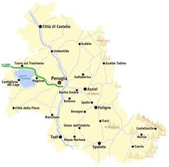
Map of Perugia
1056 x 1518
- 248,054k -
jpg
Map Perugia
725 x 716
- 37,351k -
jpg
Perugia City Map
1651 x 1992
- 449,227k -
jpg
Perugia Map
1096 x 1531
- 249,387k -
jpg
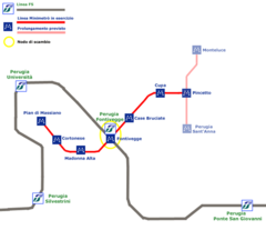
Perugia Metro Map
2200 x 1544
- 80,052k -
png

Perugia Metro Map 1
846 x 490
- 5,337k -
png