MapSof
.net
Places
Countries
States
Capital Cities
All Places
Maps
Physical Maps
Political Maps
Historical Maps
All Maps
Tools
Distance Calculator
Address Locator
Geocoder
Street View
Coordinate Finder
Distances
Countries
States
Cities
Maps
Distance Calculator
Geocoder
Distances
Home
/
Maps
/
Physical Maps
Physical Maps
Browse our collection of physical maps from around the world.
Physical
Political
Historical
Relief
Climate
Thematic
Elevation
Satellite
Road
Topo
Street
Contour
Election
Showing
50
maps — Page 2 of 2
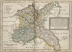
North East of Germany Historical Map
Federal Republic of Germany
1139x821 · 192,425k · jpg
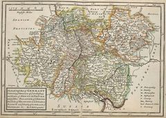
Germany Historical Map (south West)
Federal Republic of Germany
1151x816 · 245,039k · jpg
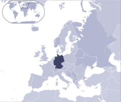
Where Is Germany Located
Federal Republic of Germany
1000x841 · 67,328k · png
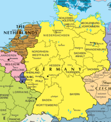
Germany And Netherlands Map
Federal Republic of Germany
1373x1509 · 190,706k · png
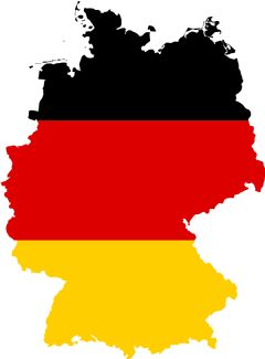
Germany Flag Map
Federal Republic of Germany
1800x2436 · 133,486k · PNG
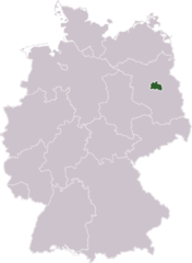
Germany Laender Berlin
Berlin
668x910 · 13,383k · png
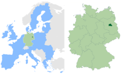
Berlin In Germany And Eu 1
Berlin
2580x1585 · 108,119k · png
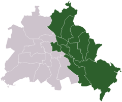
Germany Divided Berlin East
Berlin
550x463 · 5,406k · png
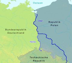
Oder Neisse Line Between Germany And Poland 1
Poland
785x698 · 41,720k · jpg
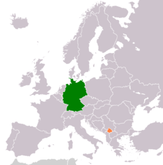
Germany Kosovo Locator 1
Kosovo
1236x1245 · 28,850k · png
«
1
2
»