Mallorca Satellite Image
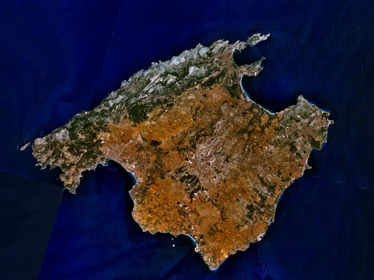
Click on the Mallorca Satellite Image to view it full screen. File Type: jpg, File size: 178934 bytes (174.74 KB), Map Dimensions: 1280px x 958px (16777216 colors)
More Mallorca Static Maps
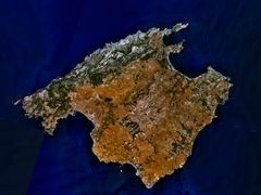
Mallorca Satellite Image
1280 x 958 - 178,934k - jpg
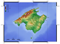
Mallorca Topographic Map
1500 x 1103 - 396,850k - png