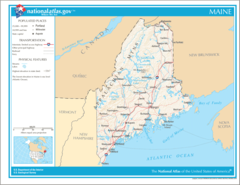
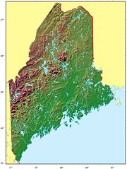
Map of Maine Na 1

Click on the Map of Maine Na 1 to view it full screen. File Type: png, File size: 143893 bytes (140.52 KB), Map Dimensions: 1200px x 927px (256 colors)
More Maine Static Maps
Map of Maine Na 1
1200 x 927 - 143,893k - png
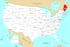
Usa Maine Location Map
1000 x 1524 - 110,326k - png

Maine Flag Map
993 x 1487 - 79,917k - png
Counties Map of Maine
980 x 1316 - 86,210k - png
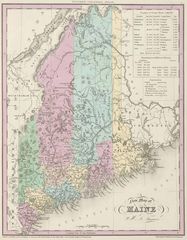
Historical Map Maine
1055 x 1354 - 274,626k - jpg
Maine Relief Map
1248 x 1660 - 266,399k - jpg
Where Is Maine Located
1476 x 1002 - 134,792k - png
Maine Cities And Towns
2445 x 2043 - 147,000k - PNG
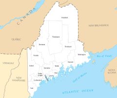
Maine County Map
2445 x 2061 - 126,023k - PNG
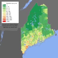
Maine Population Map (1)
600 x 600 - 119,318k - PNG
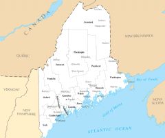
Maine Reference Map
2457 x 2061 - 613,629k - PNG
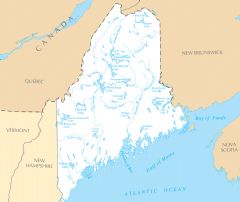
Maine Rivers And Lakes
2457 x 2064 - 180,748k - PNG
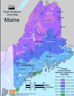
Maine Plant Hardiness Zone Map
2224 x 2884 - 248,205k - PNG