State of Israel Maps
Israel Map 2
1196 x 1537 - 499,715k - jpg
Israel Outline Map 1
2000 x 3717 - 138,083k - png
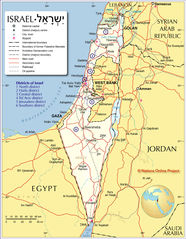
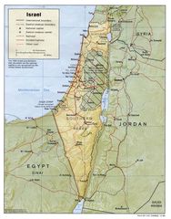
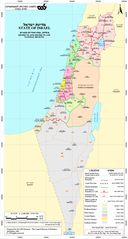
Israel Policital Map
1020 x 1278 - 230,920k - jpg
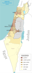
Israel Population Density Map
692 x 1575 - 76,276k - png
Israel Railway
1600 x 1206 - 102,553k - png
Israel Railways
396 x 1146 - 122,559k - jpg
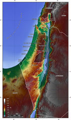
Israel Relief Map Jpeg
990 x 1264 - 252,651k - peg
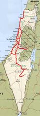
Israel Road Map
975 x 2640 - 297,184k - jpg
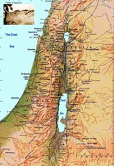
Israel Topographic Map
1200 x 2013 - 773,476k - jpg
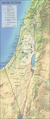
Israel Water Systems Map
700 x 1651 - 193,496k - jpg
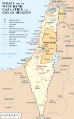
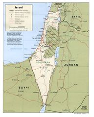
Israel West Bank Gaza Strip And Golan Heights
1428 x 2289 - 265,883k - png
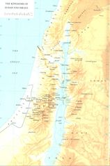
Kingdoms of Judah And Israel Map
1162 x 1758 - 231,782k - jpg
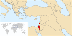
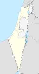
Location of Israel
1100 x 550 - 53,885k - png
Map Israel
1760 x 2560 - 503,533k - jpg
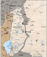
Map of Golan Heights
650 x 785 - 93,293k - jpg
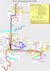
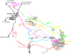
Map of Night Bus And Rail Routes In Israel
2647 x 3784 - 374,136k - png
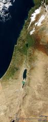
Satellite Image of Israel
924 x 2370 - 363,733k - jpg
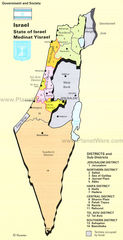
State of Israel
1160 x 2166 - 683,966k - jpg
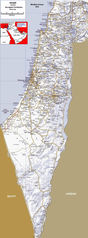
State of Israel Map
700 x 1363 - 379,559k - jpg
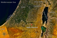
Yatir Forest Israel Location
1024 x 692 - 485,773k - png
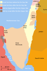
Yom Kippur War Map
1000 x 1505 - 44,041k - png